
The Brief
On Monday, March 16, 2026, the National Weather Service issued a severe thunderstorm warning for parts of Central and Northeast Florida after recording damaging 60 mph winds and penny-sized hail.
In Seminole County, current conditions at 3:10 p.m. show light thunderstorm rain with a temperature of 80°F and southwest winds at 15 mph.
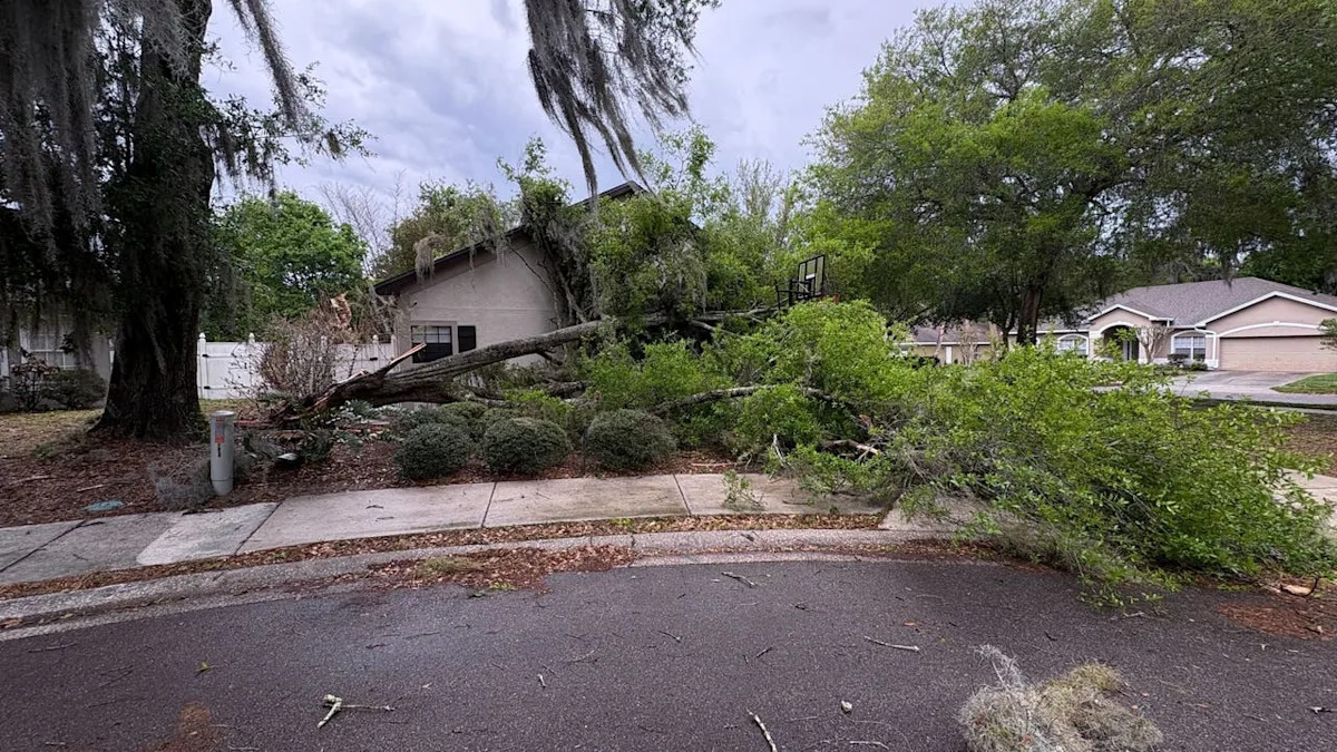
Residents in the warned areas, which also include Southern Clay and Northern Putnam counties, are advised to prepare for potential damage to roofs and siding as the storm front continues to move east at 55 mph.
CENTRAL FLORIDA – Parts of Florida are under a severe thunderstorm warning.
On March 16, the National Weather Service issued a severe thunderstorm warning throughout Central Florida until 3:45 p.m.
At 2:47 p.m., severe thunderstorms were located near Kingsley to Rochelle, moving east at 55 miles per hour, the National Weather Service said. By 1:15 p.m., rain poured down in several parts of Seminole County, while strong winds blew in Orange County.
The severe thunderstorm warning is in effect in Southeastern Bradford County, Southeastern Alachua County, St. Johns County, Northern Putnam County and Southern Clay County. The NWS reported 60 mile per hour winds, saying to expect damage to roofs, siding and trees.
The NWS also reported penny-sized hail.
Storm damage in OviedoLake Mary: Light rain with thunderPort Canaveral: RainyOrlando: Light rain with thunderStarke: Thunderstorm/windSanford: Light rain with thunderTornado watch until 8 p.m.
Several Florida counties are under tornado watch in Florida on March 16. The tornado watch will remain in effect until 8 p.m.
These counties include:
The Source
Information in this story was gathered from the FOX 35 Storm Team.