
TALLAHASSEE, Fla. (WCTV) – After a taste of summer on Monday, heat levels are coming down for midweek.
Tonight Through Tuesday Night
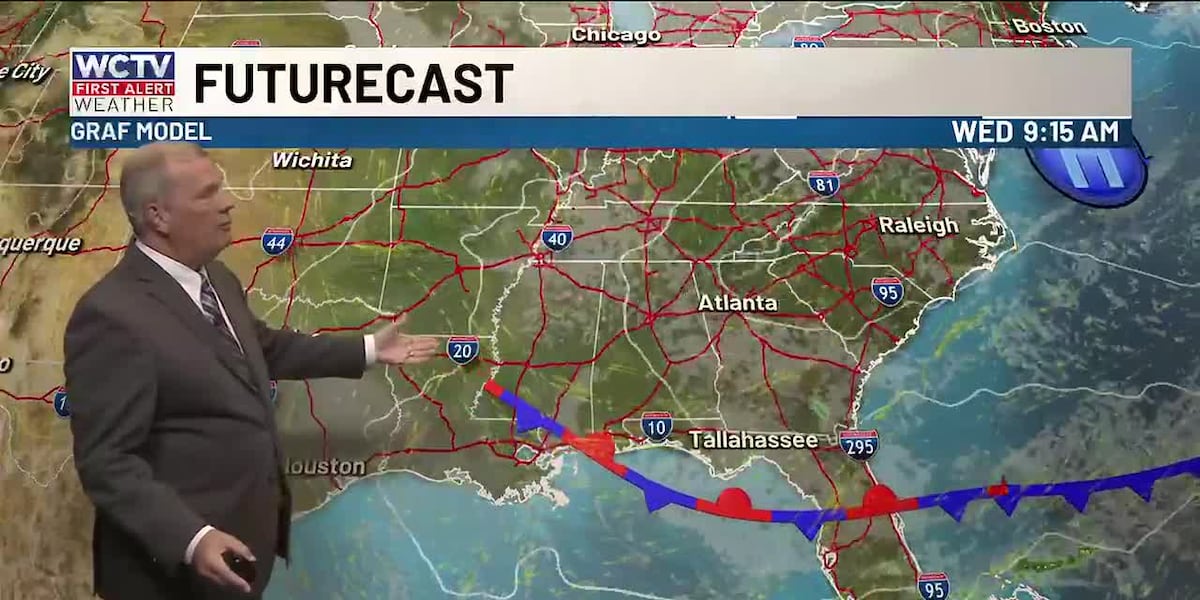
A weak cold front will march across the region Monday night. This weather system will bring more clouds and a few light showers. It will not rain for everyone, but a few sprinkles are possible. Lows fall into the upper-50s and low-60s as a breezy wind continues.
Tuesday is looking breezy and cooler. We are partly sunny with an isolated shower possible. Again, the rain chance is not widespread. Highs hover in the mid-70s for most of us, but a few spots may sit in the 60s all day, especially near I-75.
We are mostly cloudy for Tuesday night. An isolated shower is possible, but most are dry. Lows settle in the mid-50s.
Our Rollercoaster Continues
The forecast on Wednesday will be very similar to Tuesday. We are mostly cloudy and not as warm. Temperatures reach the low-70s. An isolated shower is possible, but it will not rain for every town. Lows bottom out in the low-50s.
We are clearing out and warming up on Thursday. Highs reach the low-80s under a mix of Sun and clouds. Overnight lows dip into the low-and-mid-50s.
Ending The Week
Friday is looking warm and partly cloudy. Temperatures climb into the mid-80s, with lows in the mid-and-upper-50s.
We could see another weak weather system to kick off the weekend. We will keep an eye on it and keep you posted.
To stay updated on all the latest forecasts and weather, follow WCTV First Alert Weather on Facebook and X (Twitter).
Click here to see all the latest weather headlines and here to view the First Alert Radar. Receive push alerts and watch the latest forecast anytime on the free WCTV First Alert Weather app. Click here to download it now.
Interested in becoming a WCTV First Alert Weather Watcher? Click here to join the team!
Copyright 2026 WCTV. All rights reserved.