
TALLAHASSEE, Fla. (WCTV) – A few showers are possible for the middle of the week, but rain totals remain unimpressive.
Tonight Through Wednesday Night
An isolated shower is possible for Tuesday night, but most of the region is looking dry. Lows settle in the mid-50s under a partly to mostly cloudy sky. A breezy wind will linger.
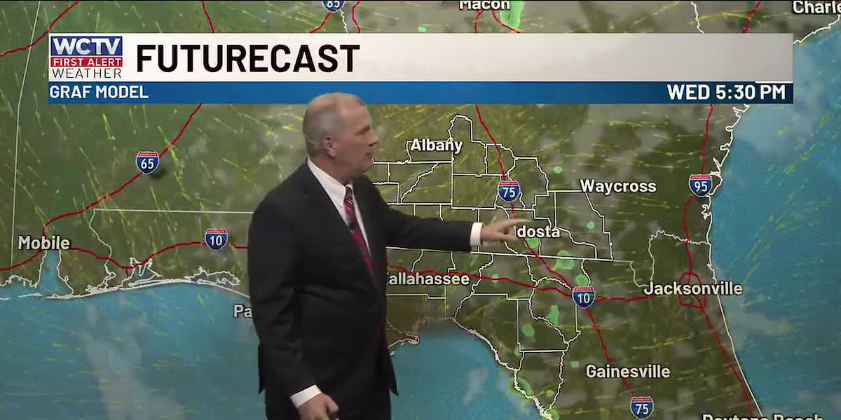
Another tricky forecast is ahead on Wednesday. Again, an isolated shower is possible, but the rain chance stays low. For most of us, temperatures top out in the mid-to-upper-70s under a partly sunny sky.
Another mostly quiet night is on tap to end your Wednesday. A stray sprinkle is possible, but most are dry and partly cloudy. Overnight lows bottom out in the mid-50s.
Ending The Work Week
We are warming up to end the work week.
Highs on Thursday top out in the low-80s under a mix of Sun and clouds. Lows bottom out in the mid-50s.
Friday is looking dry and warm. Temperatures climb into the mid-and-upper-80s under some sunshine. Overnight lows settle in the upper-50s.
Weekend Forecast
Looking ahead, we could see another weak cold front on Saturday. Similar to the middle of this week, an isolated shower cannot be ruled out to start the weekend, but most are dry and breezy with this weather system.
Highs on Saturday hover in the upper-70s and low-80s under a mix of Sun and clouds. Lows fall into the low-50s.
Sunday is looking dry, breezy and comfortable. Temperatures top out in the mid-70s under a partly sunny sky. Lows bottom out in the low-50s.
To stay updated on all the latest forecasts and weather, follow WCTV First Alert Weather on Facebook and X (Twitter).
Click here to see all the latest weather headlines and here to view the First Alert Radar. Receive push alerts and watch the latest forecast anytime on the free WCTV First Alert Weather app. Click here to download it now.
Interested in becoming a WCTV First Alert Weather Watcher? Click here to join the team!
Copyright 2026 WCTV. All rights reserved.