
TALLAHASSEE, Fla. (WCTV) – Very warm on Friday afternoon before a cold front cools us down this weekend.
Approaching 90 degrees on Friday
Highs will reach the mid to upper 80s. Some locations will be near 90 degrees. If that happens, it would mark one of the earliest 90-degree days on record for March, about a month ahead of the typical April-early May timeframe when the area normally hits that milestone.
The combination of warm air and moisture from onshore winds will create humid conditions through the afternoon.
Thick fog is expected to develop overnight, Thursday into Friday morning, with some areas experiencing dense fog that could significantly reduce visibility during the morning commute. Fog should clear by mid-morning.
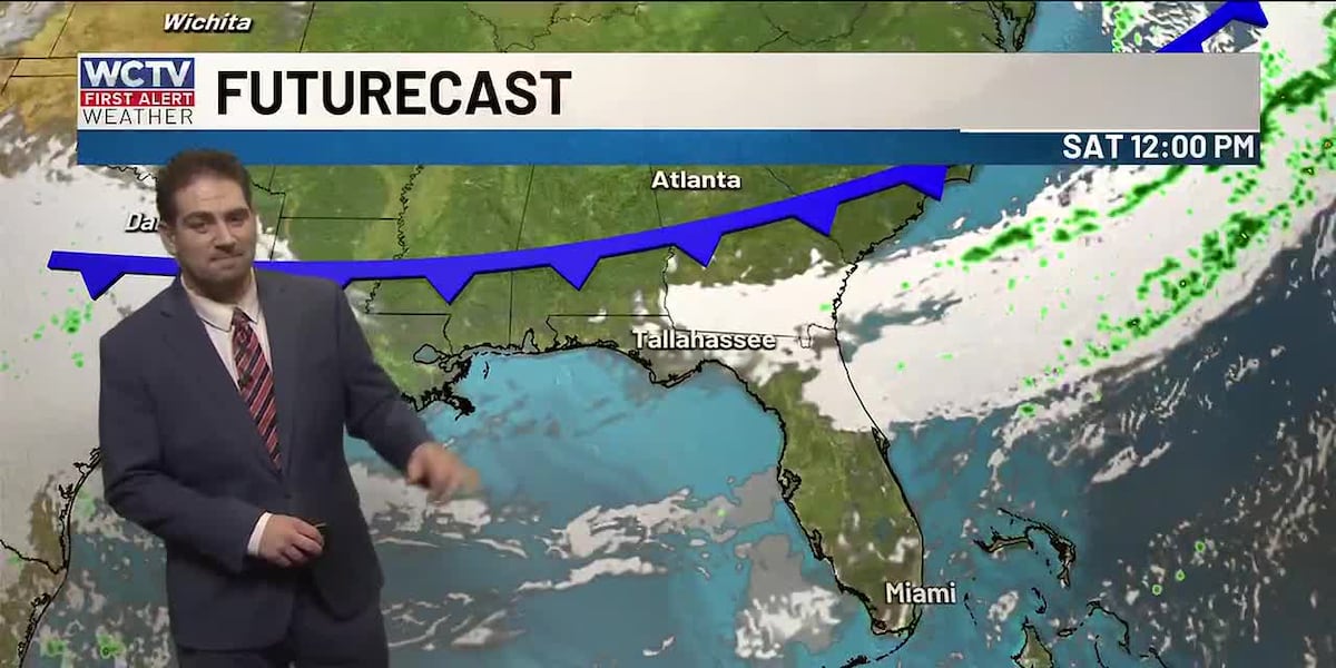
Weekend cold front
A dry cold front will move through the region on Saturday morning, bringing a sharp change in conditions. While the front will bring no rain, it will usher in dangerous fire weather conditions.
By Saturday afternoon, expect:
Breezy north to northeast winds at 10-20 mphCritically low humidity around 35-40% or lowerElevated fire danger across the region
The combination of persistent severe-to-exceptional drought, warm temperatures, and windy conditions creates a recipe for rapid wildfire spread. Burning is highly discouraged, and Fire Weather Watches and Red Flag Warnings are being considered for Saturday.
Temperatures drop into the mid-70s on Sunday behind the cold front and breezy. The wind will make for rough boating conditions late Saturday and Sunday.
To stay updated on all the latest forecasts and weather, follow WCTV First Alert Weather on Facebook and X (Twitter).
Click here to see all the latest weather headlines and here to view the First Alert Radar. Receive push alerts and watch the latest forecast anytime on the free WCTV First Alert Weather app. Click here to download it now.
Interested in becoming a WCTV First Alert Weather Watcher? Click here to join the team!
Copyright 2026 WCTV. All rights reserved.