
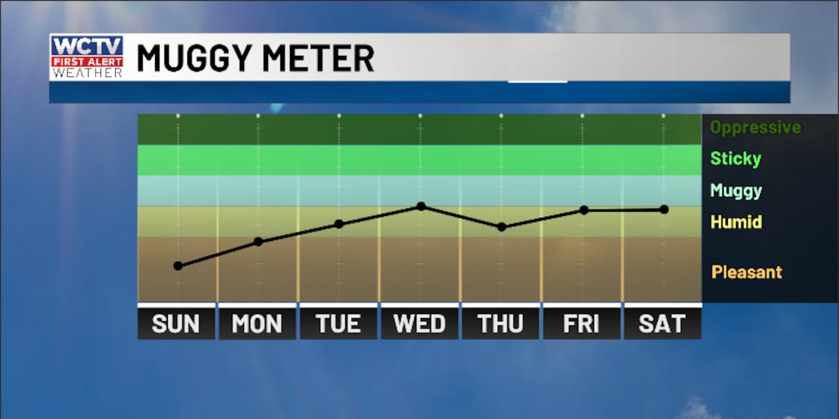
TALLAHASSEE, Fla. (WCTV) – As moisture increases for the upcoming work week, we should see a few more of those pop-up showers.
Tonight Through Monday Night
A quiet night is ahead to end the weekend. Low temperatures bottom out in the mid-and-upper-50s under a slowly clearing sky.
The first half of Monday looks dry under a mix of Sun and clouds. A southeasterly wind will bring in slightly better moisture. Because of that, we are expecting a few pop-up showers during the peak heating of the day. Highs climb into the upper-70s and low-80s.
Showers will fade away after sunset, and we are mostly dry for Monday night. Overnight lows bottom out in the upper-50s and low-60s under a partly cloudy sky.
“Copy and Paste” Forecast
This “taste of summer” will continue for the middle of the week.
Highs climb into the low-and-mid-80s on Tuesday and Wednesday under a mix of Sun and clouds.
Again, isolated showers are possible during the afternoon and evening, but it will not rain for everyone.
Lows hover in the low-60s.
Extended Forecast
The forecast on Thursday is looking slightly drier. Temperatures soar into the mid-and-upper-80s under a mostly sunny sky. A stray shower is possible, but most of us are looking dry. Lows dip into the low-60s.
Isolated showers are possible during the afternoon and evening on Friday. Highs hover in the mid-80s under a partly cloudy sky. Lows fall into the low-60s.
To stay updated on all the latest forecasts and weather, follow WCTV First Alert Weather on Facebook and X (Twitter).
Click here to see all the latest weather headlines and here to view the First Alert Radar. Receive push alerts and watch the latest forecast anytime on the free WCTV First Alert Weather app. Click here to download it now.
Interested in becoming a WCTV First Alert Weather Watcher? Click here to join the team!
Copyright 2026 WCTV. All rights reserved.