
JACKSONVILLE, Fla. — Notes from the First Weather Alert:
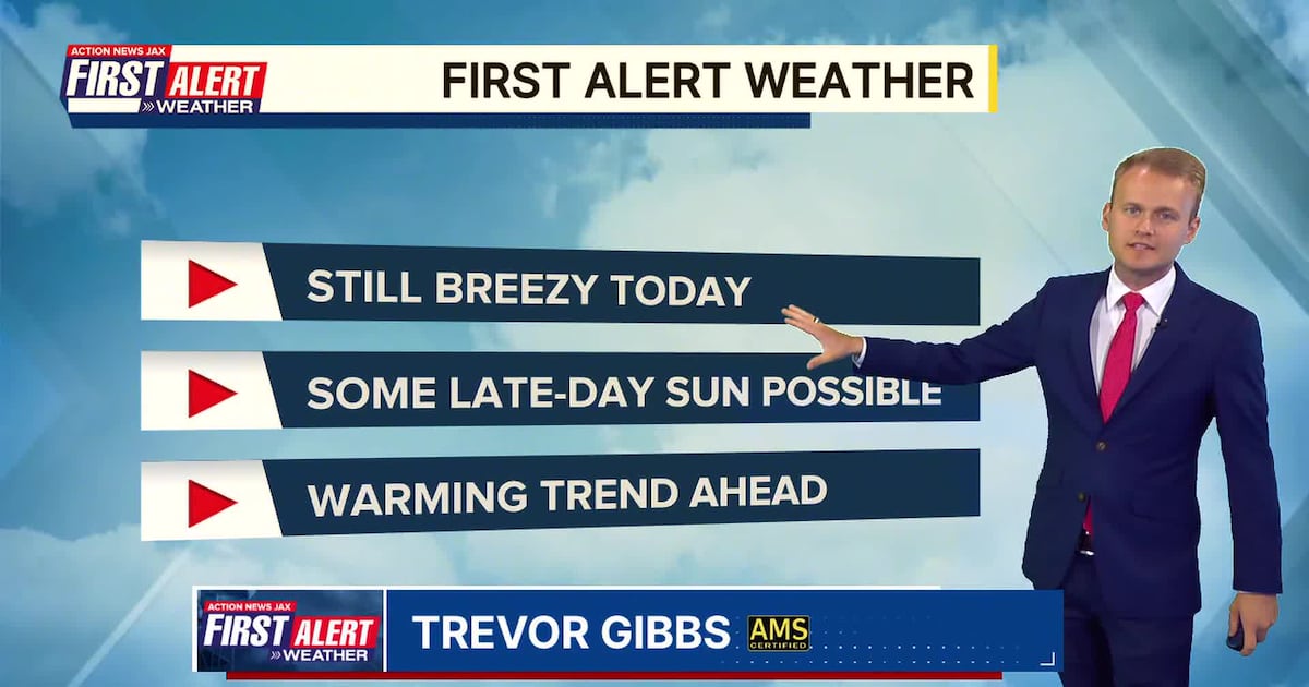
Sunday morning temperatures are in the upper 50s to middle 60s with overcast skies and breezy conditions.Sunday will remain breezy, but the wind will not be as strong as on Saturday. Some gusts above 30 mph are possible. A high rip current risk continues at local beaches.Clouds will be stubborn as well on Sunday with the onshore wind, but some thinning of the clouds in the afternoon should allow for a little warm-up inland.Warmer temperatures arrive Monday afternoon with partly cloudy skies.Tuesday onward will feature highs in the 80s and lows in the 60s. With a more humid onshore flow, an isolated shower here and there is possible each day next week.Rain totals will not be much in any one location, and so the ongoing drought will continue.
First Alert Weather 7-day forecast:
SUNDAY: Mostly cloudy and windy. HIGH: 70 (low 60s at the beaches)
SUNDAY NIGHT: Partly to mostly cloudy. LOW: 57
MONDAY: Partly cloudy, breezy, isolated shower. 57/77
TUESDAY: Partly cloudy, warmer, isolated inland shower. 59/83
WEDNESDAY: Partly cloudy, warm and humid, isolated afternoon shower. 60/84
THURSDAY: Partly cloudy, warm and humid, isolated afternoon shower. 60/85
FRIDAY: Partly cloudy, warm and humid, isolated afternoon shower. 62/86
SATURDAY: Partly cloudy, warm and humid, isolated afternoon shower. 64/86

WATCH THE FORECAST | DOWNLOAD THE APPS
Follow Action News Jax Meteorologists on Twitter for updates:
Mike Buresh | Garrett Bedenbaugh | Corey Simma | Trevor Gibbs
ALLERGY TRACKER: See what the pollen counts look like in our area
LISTEN: Mike Buresh ‘All the Weather, All the Time’ Podcast
INTERACTIVE RADAR: Keep track of the rain as it moves through your neighborhood
SHARE WITH US: Send us photos of the weather you’re seeing in your area ⬇️