
TALLAHASSEE, Fla. (WCTV) – If you are a fan of the warmer weather, you will enjoy the rest of this week’s weather.
Warm this evening
Warm and humid this evening, so plan outdoor activities accordingly. There may be an isolated shower or two, however, it looks like most locations will remain rain-free.
Temperatures will remain mild overnight in the 60s and upper 50s as skies clear.
Warm and bright Thursday
Thursday looks like it will be mainly dry. Temperatures climb into the mid and upper 80s with mostly to partly sunny skies. There may be a stray shower along the sea breeze, otherwise, a warm and humid afternoon.
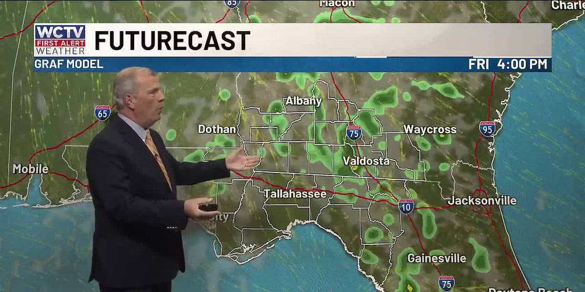
A few showers on Friday
Rain coverage looks a little higher on Friday as more moisture moves back into the region. Still not an everyone gets wet type of weather setup. Highs in the mid-80s.
A mainly dry weekend
Saturday is looking warm and humid with highs in the mid 80s and mostly to partly sunny skies. Sunday looks like it will start dry. A cold front approaches from the west and will increase clouds and showers for the second half of the day. This setup is still not looking like a total wash where everyone gets wet.
Bottom line, any rain we get over the next few days will likely not impact the drought at all.
To stay updated on all the latest forecasts and weather, follow WCTV First Alert Weather on Facebook and X (Twitter).
Click here to see all the latest weather headlines and here to view the First Alert Radar. Receive push alerts and watch the latest forecast anytime on the free WCTV First Alert Weather app. Click here to download it now.
Interested in becoming a WCTV First Alert Weather Watcher? Click here to join the team!
Copyright 2026 WCTV. All rights reserved.