
TALLAHASSEE, Fla. (WCTV) – Another summer-like afternoon for the Big Bend and South Georgia. Temperatures in the low 80s through the early evening.
It looks like rain chances will be minimal through the evening and overnight. Staying mild heading into tomorrow morning.
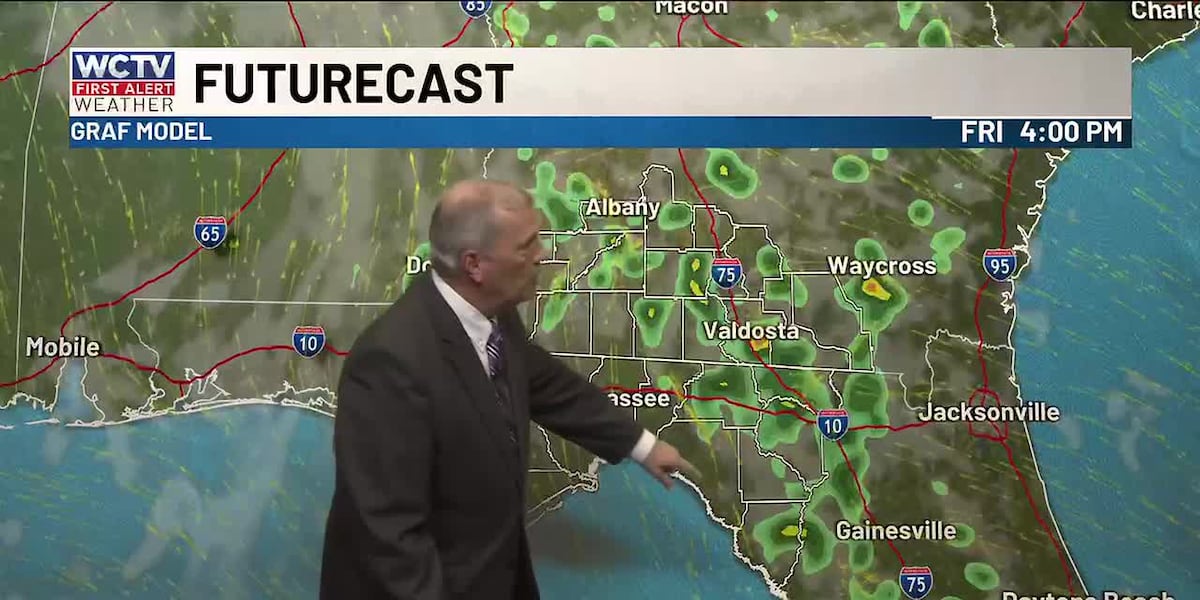
Scattered rain on Friday
Friday will feature more clouds and scattered showers in the afternoon. This will keep highs in the upper 70s and low 80s across North Florida and South Georgia. It will not rain for everyone, most locations probably will not see rain. However, those that do will get a good soaking and totals could be over 0.5″.
Dry to start the weekend
Saturday skies will be dry, and temperatures will climb back into the mid- to upper 80s, with only a stray shower or two.
On Sunday, a cold front approaches from the west. This will bring a decent chance of rain as the front interacts with the sea breeze fronts in the afternoon and evening. Highs in the low to mid 80s.
If you are hitting the coast this weekend, boating conditions will be okay. Rip current risk is high over the weekend.
Cooling trend early next week
The front should clear the area by late Monday, bringing drier air slowly back into the region. Highs in the 70s with mostly cloudy skies.
The 70s look like they will stick around through midweek. Gradually warming each afternoon.
To stay updated on all the latest forecasts and weather, follow WCTV First Alert Weather on Facebook and X (Twitter).
Click here to see all the latest weather headlines and here to view the First Alert Radar. Receive push alerts and watch the latest forecast anytime on the free WCTV First Alert Weather app. Click here to download it now.
Interested in becoming a WCTV First Alert Weather Watcher? Click here to join the team!
Copyright 2026 WCTV. All rights reserved.