
TALLAHASSEE, Fla. (WCTV) – A cold front will sweep across the region on Sunday. What does that mean for your Easter plans? Meteorologist Cameron Aaron explains. ⬇️
Tonight Through Sunday Night 🐇
After a few showers and thunderstorms to start Saturday evening, we are tracking mostly quiet conditions for the overnight. Temperatures settle in the upper-50s and low-60s under a mostly clear sky. Some patchy fog is possible by early Sunday.
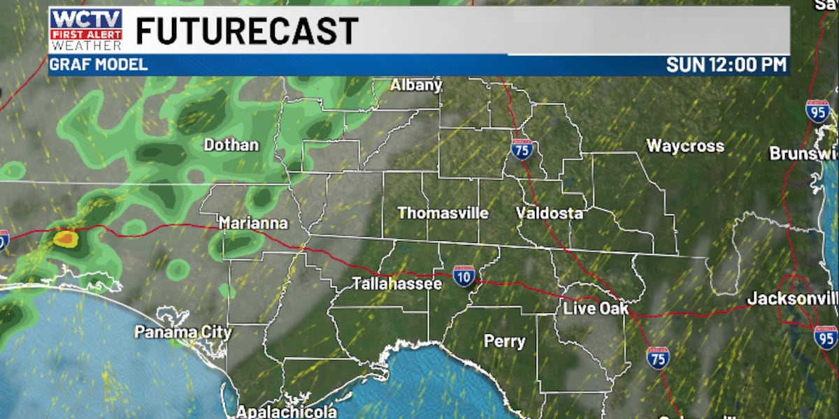
A cold front will sweep across the Big Bend and South Georgia on Easter Sunday. The first half of Sunday is looking dry and partly sunny. However, we are expecting a few showers during the afternoon and evening.
Because this front is losing steam as it enters our region, the better rain chance should stay further west and northwest near Lake Seminole and the Apalachicola River. Rain chances will be dropping further to the east and southeast in the Suwannee River Valley.
Highs on Sunday top out in the mid-80s.
A few more showers are possible for Sunday night, but again, we are not tracking a washout. Overnight lows fall into the upper-50s and low-60s under a partly to mostly cloudy sky.
Starting The Work Week
Behind this weather system, temperatures are cooling off for the first half of the work week.
Monday is looking cooler and cloudier. Temperatures top out in the low-70s under a mostly cloudy sky. A few showers are possible, but it will not rain for everyone. Lows dip into the mid-50s.
We are partly cloudy and near average on Tuesday. Highs reach the upper-70s, with lows in the low-50s.
Extended Forecast
Looking ahead, the forecast does not change much for the middle of the week.
Highs on Wednesday top out in the mid-70s under a partly sunny sky. A few showers are possible for midweek. Lows settle in the upper-50s and low-60s.
An isolated shower is possible on Thursday, but rain chances are looking low at this point. Temperatures reach the upper-70s under a partly sunny sky. Lows fall into the upper-50s.
To stay updated on all the latest forecasts and weather, follow WCTV First Alert Weather on Facebook and X (Twitter).
Click here to see all the latest weather headlines and here to view the First Alert Radar. Receive push alerts and watch the latest forecast anytime on the free WCTV First Alert Weather app. Click here to download it now.
Interested in becoming a WCTV First Alert Weather Watcher? Click here to join the team!
Copyright 2026 WCTV. All rights reserved.