
TALLAHASSEE, Fla. (WCTV) – Chief Meteorologist Mike McCall has an update on Tuesday’s scattered rain chance plus a Fire Weather Watch for the afternoon.
Tonight Through Tuesday Night
Passing showers are possible through Monday night. It will not rain all night, but you may need the umbrella at times. Lows settle in the mid-50s under a partly to mostly cloudy sky.
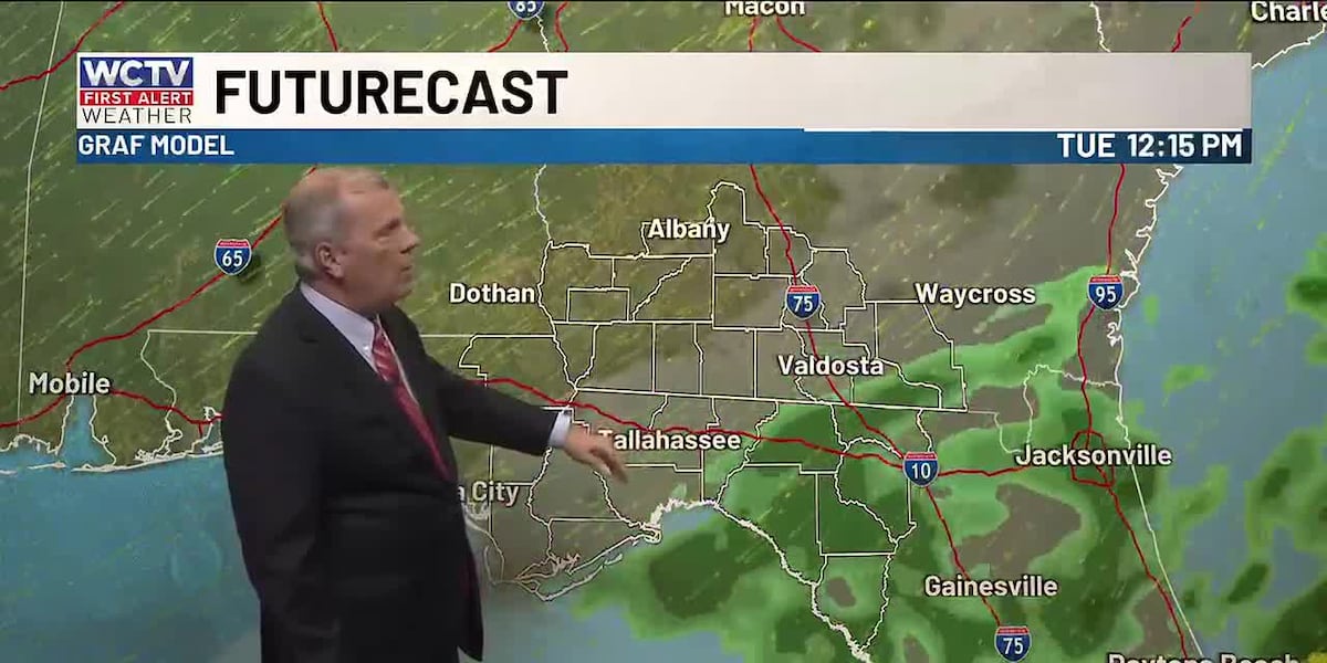
Scattered showers are looking possible for Tuesday morning, but most of the activity should shift to the southeast after lunchtime. For most of us, we are drying out under a slowly clearing sky for the afternoon. However, a few leftover showers will likely linger in the Suwannee River Valley.
Highs climb into the mid-70s for most of us, but a few spots may stay in the low-70s near I-75.
Another heads up, a breezy wind looks to return on Tuesday. Because of the breezy wind and the drier air, we could see an elevated fire danger. As a result, the National Weather Service has issued a Fire Weather Watch for a large chunk of the Big Bend and South Georgia from 11 a.m. through 8 p.m. Outdoor burning is not recommended.
The forecast is looking mostly quiet for Tuesday night. Lows bottom out in the low-50s under a mostly clear to partly cloudy sky.
Middle Of The Week
The forecast is looking windy on Wednesday. We could see wind gusts up to 35 mph at times under a mostly cloudy sky. A few showers are possible for midweek, but we are not expecting a washout. Highs hover in the low-70s, with lows in the mid-50s.
An isolated shower is possible for Thursday, but most are looking dry and mostly cloudy. Highs top out in the mid-and-upper-70s. Again, we are looking breezy. Lows fall into the mid-and-upper-50s.
Extended Forecast
Looking ahead, we are tracking drier, warmer weather to end the week.
Highs on Friday climb into the low-80s under a partly sunny sky. Lows settle in the mid-50s.
For the weekend, we should see more sunshine. Temperatures top out in the mid-80s, and lows bottom out in the mid-to-upper-50s.
To stay updated on all the latest forecasts and weather, follow WCTV First Alert Weather on Facebook and X (Twitter).
Click here to see all the latest weather headlines and here to view the First Alert Radar. Receive push alerts and watch the latest forecast anytime on the free WCTV First Alert Weather app. Click here to download it now.
Interested in becoming a WCTV First Alert Weather Watcher? Click here to join the team!
Copyright 2026 WCTV. All rights reserved.