
Fires have burned upwards of 20,000 acres in the region. Here is where you can find all the information you need in one place.
BRANTLEY COUNTY, Ga. — Several wildfires are burning across southeast Georgia and northwest Florida, destroying dozens of homes and burning over 20,000 acres.
This has prompted local officials to issue evacuation orders in several areas and close roads in others.
Here is what you need to know.
Live updates
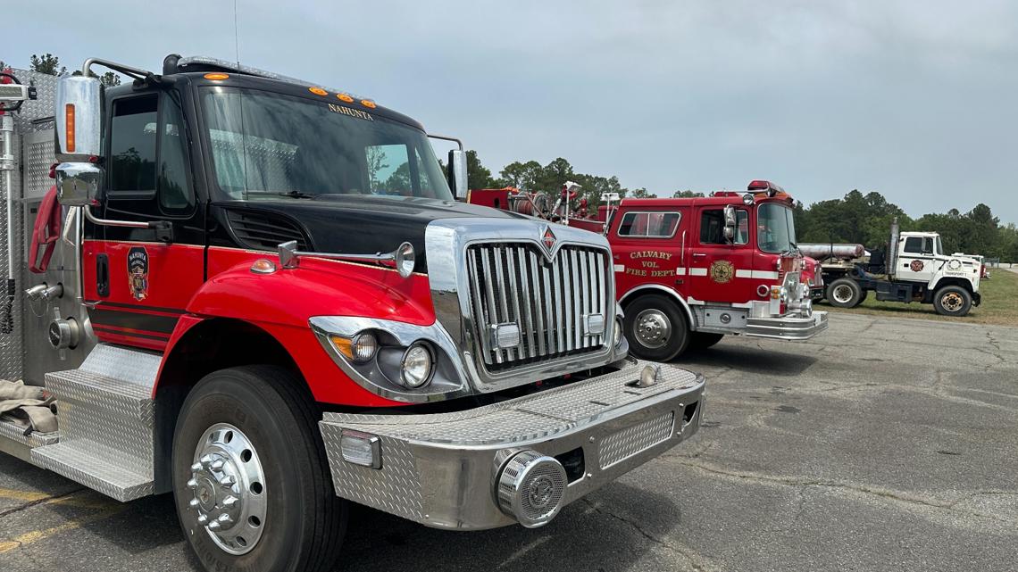
Fires are burning across multiple states, and several counties, including Brantley, Glynn, Bradford, Clay, and Putnam, are closing roads and evacuating residents.
Dozens of homes have been impacted and authorities are asking people to be ready to get out at a moment’s notice.
For the most up-to-date information on all the fires burning in the southeast, including road closures, evacuations and general updates, click here for the live blog.
Maps of fire locations
Several large fires are burning across the southeast region.
The Highway 82 Fire in Brantley County, Georgia, has burned over 5,000 acres, while the Pineland Road Fire has burned over 16,000 acres.
In Florida, the Crews Road and Railroad fires have burned nearly 6,000 acres combined.
For the most up-to-date interactive maps of where the fires are burning in Florida and Georgia, click here.
Georgia State of Emergency
During natural disasters, state governors are authorized to declare a state of emergency during a time of crisis, such as extreme weather events or major wildfires.
The authorization temporarily expands their powers, allowing them to override or create laws as needed until the emergency ends.
Georgia Governor Brian Kemp has declared a state of emergency for wildfires burning in the state.
Brantley County evacuations and shelter locations
Brantley County authorities have issued many evacuation orders due to the sheer size of the wildfires burning in the county.
All residents in affected areas including those with pets and livestock need to leave now. Active evacuation orders in Brantley County can be found here.
For those residents who were told to get out of their homes, but don’t have family nearby or a place to go, there have been shelters set up.
There are four locations for people getting away from the fire in Brantley County. Those shelter locations can be found here.
Air quality concerns
We all know fires give off smoke and big fires give off even more smoke.
That smoke causes air quality to dive very quickly.
As of early afternoon on Wednesday, every air quality monitoring station in the state of Georgia was reporting air quality to be in the moderate range or worse.
Click here for the most up-to-date air quality numbers.
What do fire containment numbers mean?
The Highway 82 Fire is only 5% contained while the Pineland Road Fire is 10% contained. But what do these numbers mean?
The way fire authorities come up with the numbers may surprise you.
Find out how they come up with these numbers.