

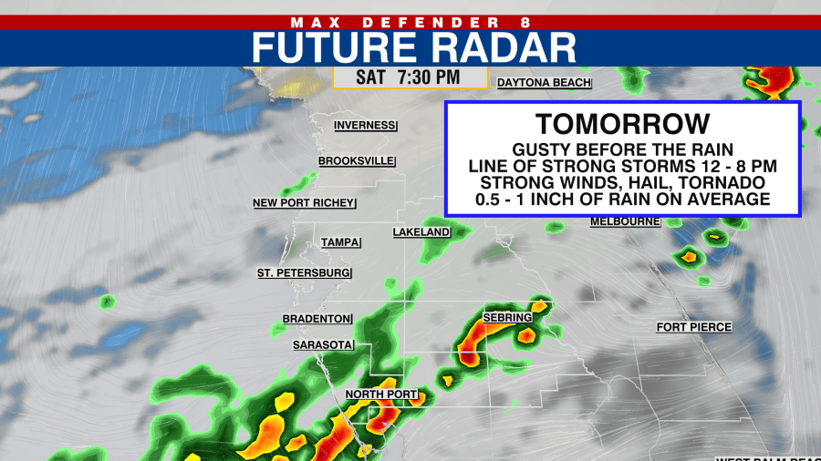
TAMPA, Fla. (WFLA) — A strong cold front will move through the Tampa Bay area Saturday afternoon.
A line of gusty storms will pass from north to south between about 12 p.m. and 8 p.m.
Lake Hancock water control structure closes, upper Peace River to ‘go dry within days’
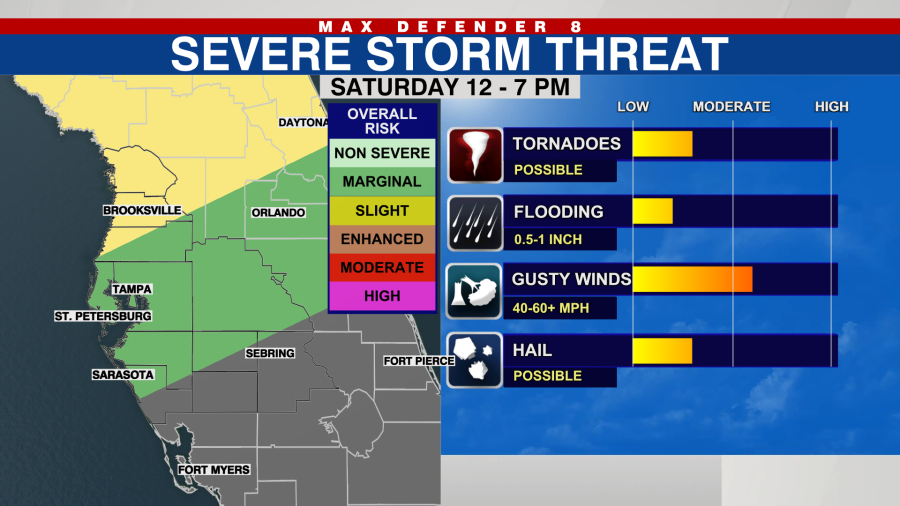
As it passes, there is a low chance that one or two of these storms will be strong to severe. Damaging winds up to or greater than 60 mph are possible in the strongest storms. There is also a low chance for hail and a quick spin-up tornado.
Citrus, Hernando, and northern Pasco have a slight risk, level 2 out of 5, for severe storms.
There is a marginal risk, level 1 out of 5, risk for severe storms in Hillsborough, Pinellas, Polk, Manatee, northern Sarasota, northern Hardee and southern Pasco counties.
Although these times could shift slightly earlier or later, Saturday will likely not be a washout.
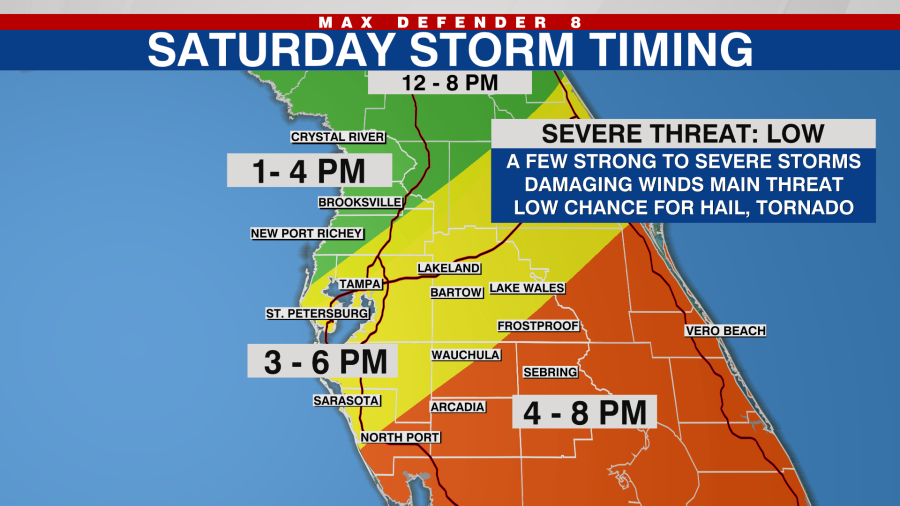
EARLY AFTERNOON – 1 to 4 p.m.
The line of storms will move into Citrus and Hernando Counties right around or shortly after lunchtime. These storms will continue to move south into Pasco and north Pinellas county.
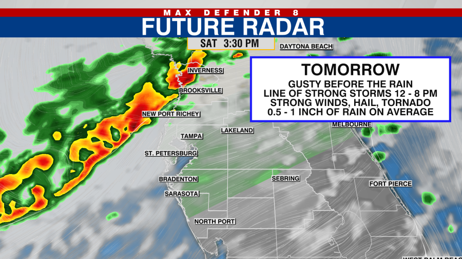
MID TO LATE AFTERNOON – 3 to 6 p.m.
The line of storms will continue into Hillsborough, northern Polk, Pinellas and Manatee counties from about 3 to 6 pm.
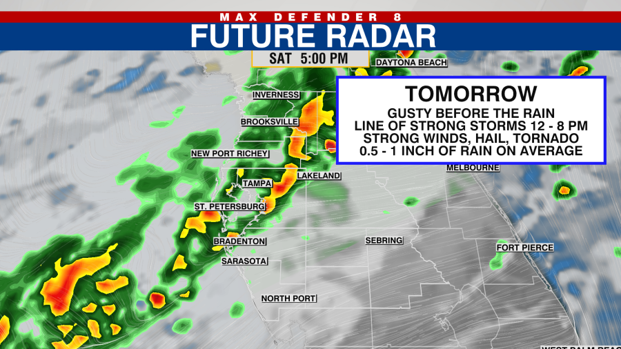
LATE AFTERNOON INTO EARLY EVENING – 4 to 8 p.m.
Sarasota, Hardee, DeSoto, Highlands and Manatee Counties will see the rain moving after 4 pm. The line of storms will more than likely be weakening as it moves farther south. A few light showers could linger overnight but should clear out quickly early Sunday morning.
Clouds will gradually clear out Sunday midday as gusty north winds bring in slightly cooler and drier air.