
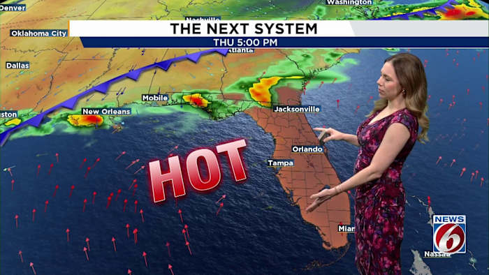
ORLANDO, Fla. – A warming trend is underway across Central Florida, with near record heat expected by the end of the week. Slight relief returns by the weekend as rain seeps back into the area.
TUESDAY
Mix of sun and clouds are expected for your Tuesday with highs running near normal in the low to mid 80s.
WEDNESDAY & THURSDAY
The bigger story arrives Wednesday and Thursday as a big warming trend takes over.
High pressure building across Florida combined with offshore winds will help temperatures soar well above normal. Inland areas climb into the low to mid 90s Wednesday, while coastal communities warm into the mid to upper 80s.
By Thursday, the heat spreads everywhere with low to mid 90s expected across much of Central Florida, including the coast. Some areas could tie or break daily temperature records.
WEEKEND
The hot pattern continues into the weekend with highs staying in the upper 80s to low 90s, and some inland spots possibly reaching the mid 90s.
Rain chances also begin to slowly increase into the weekend as a weak front stalls near North Florida. Scattered afternoon showers and storms become more likely each day (40-50%) through Mother’s Day.
Daily Forecast
The News 6 Weather team ensures you’re always on top of the day’s weather.
Copyright 2026 by WKMG ClickOrlando – All rights reserved.