
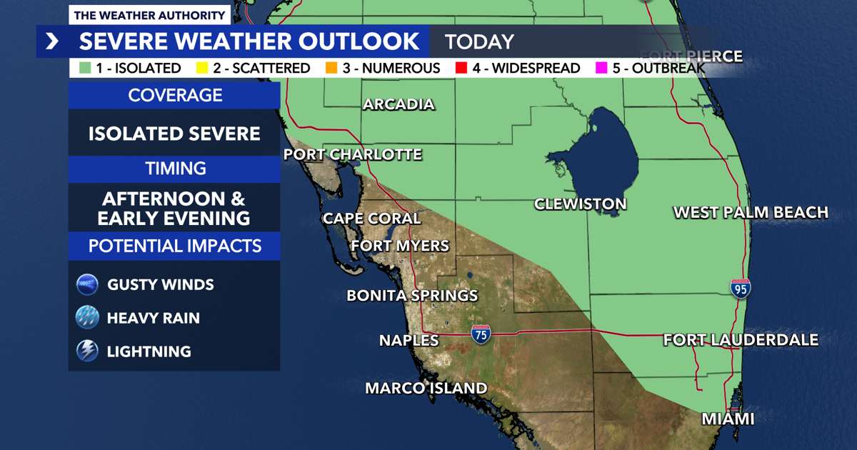
SOUTHWEST FLORIDA (WINK) — WINK News Weather Authority meteorologists are tracking a slow-moving front that will enhance showers and storms around Florida this Tuesday. Parts of Southwest Florida are under a Level 1 Risk for stronger storms throughout the afternoon and early evening.
Tuesday

Tuesday continues our stretch of mild and humid mornings with temperatures in the 70s. Temperatures will climb fast throughout the day with highs topping out in the lower 90s. Plan for a bit more rain a scattered storms (40% coverage) develop throughout the afternoon and move farther inland into the evening. Some of those storms can be on the stronger side with heavy rain and gusty winds as the main threats.
Wednesday
Wednesday is forecast to start a little cooler as a weak cold front moves through the state. Afternoon temperatures will remain above normal, but will be cooler than the last few days with highs in the upper 80s to lower 90s. While the morning can feature a few showers, isolated storms (30% coverage) will be possible for your afternoon and evening plans.
Thursday
Thursday will start off a little cooler as less humid air returns for a few days. Plan on temperatures to warm fast with highs in the upper 80s to lower 90s. We’ll see a partly cloudy afternoon with a few showers possible. Most communities will be dry Thursday as well as on Friday.
WINK News Weather Authority meteorologists are tracking hotter temperatures and low rain chances for the first weekend of rainy season. You can find the latest updates on TV on WINK News.