
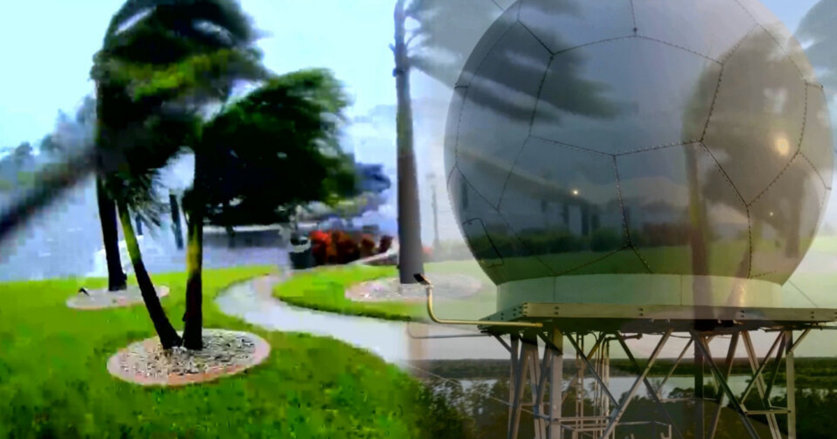
LEE COUNTY, Fla. (WINK) – As Florida approaches the peak of hurricane season, residents are once again bracing for the unpredictable nature of tropical weather.
But for families in Southwest Florida, a persistent technical blind spot—known locally as the “radar gap”—has historically left many in the dark during the most critical moments of a storm.
While the Sunshine State is home to some of the most advanced tracking systems in the world, Southwest Florida sits in a unique geographic “dead zone.”
Now, a combination of local grit and high-powered technology is finally bringing the region’s weather into focus.
The problem isn’t a lack of national interest, but rather the laws of physics. The nearest National Weather Service (NWS) radar sites are located in Tampa and Miami.
Because radar beams travel in a straight line while the Earth curves beneath them, the beams gain altitude the further they travel from their source.
By the time these national beams reach Fort Myers or Naples, they are often scanning at altitudes of 10,000 to 20,000 feet.
“If that radar site is too far away, it’s not going to be able to catch some of the things that are going on in the lower levels of the atmosphere,” says WINK Weather Authority Meteorologist Josh Green. “And sometimes that’s where the worst of the weather is happening.”
This gap means that low-level rotation—the kind that spawns tornadoes or intense microbursts—can slip beneath national detection, appearing invisible until the damage is already done.
For Cape Coral resident and moving company manager Tim Crout, weather isn’t just a news segment; it’s a business necessity. After surviving Hurricane Irma in 2017, Crout realized that standard national data wasn’t enough to keep his drivers safe from storms “bubbling up” in real-time.
Crout now relies on WINK’s Doppler 3X, a local technological powerhouse located in Babcock Ranch. Unlike the distant NWS radars, Doppler 3X offers:
Proximity: Being local allows it to scan the “lower-level cloud deck” where dangerous weather originates.
Power: It operates at one million watts, making it the most powerful radar in the region.
Dual Polarization: It sends both horizontal and vertical beams, allowing meteorologists to distinguish between heavy rain, hail, and lofted debris—a telltale sign of a tornado on the ground.
During Hurricane Ian, this technology tracked winds aloft of up to 170 mph, providing a level of granular detail that distant sensors simply couldn’t match.
While Doppler 3X currently leads the charge for public safety, even more support is arriving this summer. A private company, Climavision, has been approved to install a new gap-filling radar at the Lee County Emergency Operations Center.
Radar SystemOwnershipPrimary UsePublic AccessNWS (Tampa/Miami)Federal GovernmentNational ForecastingFree (Web/Apps)Doppler 3XWINK NewsLocal/Public SafetyFree (WINK App)ClimavisionPrivate/Lee CountyEmergency ManagementRestricted (NWS/EOC)
Though the Climavision data will be primarily used by emergency managers and the NWS, it represents another vital layer of defense for the region.
For residents like Crout, who have seen the worst Florida weather has to offer, the message is clear: the more eyes we have on the sky, the safer we are on the ground.
“We went through Ian. We can make it through anything. So, we feel a lot more comfortable moving forward.”
You can track the weather in real time using the power of Doppler 3x here.
For more WINK Investigates stories, click here.