
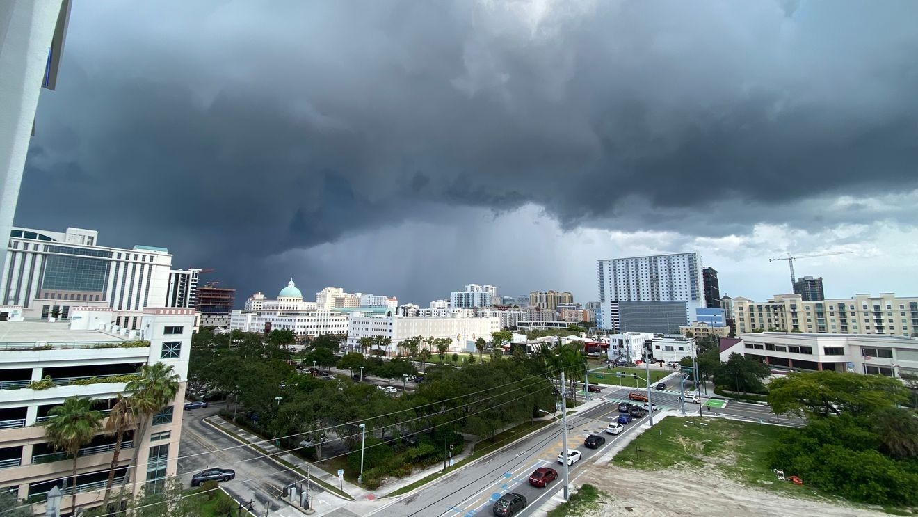
WEST PALM BEACH, Fla. (WPEC) — The area will see another active afternoon of showers and thunderstorms today, especially across inland communities.
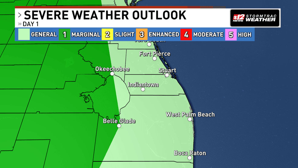
Scattered storms return today as rip current risk expands along South Florida beaches. (WPEC)
Moisture from the Caribbean continues to move into the region, helping fuel scattered storm development as sea breezes, which are winds moving inland from the coast, collide during the afternoon and evening hours. Storm coverage is expected to be highest across the interior areas, where rain chances climb as high as 75 to 80 percent.
Some storms could become stronger, producing gusty winds, frequent lightning, and locally heavy downpours. A few isolated severe storms are also possible today and Monday, especially where storms become slow-moving and repeatedly develop over the same locations. Some areas could see several inches of rain in a short period of time.
Winds out of the east will strengthen through the beginning of the week, with gusts approaching 30 mph at times. These stronger winds will also continue to create hazardous beach conditions.
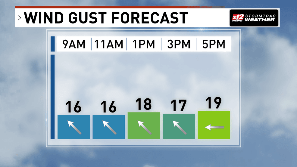
Scattered storms return today as rip current risk expands along South Florida beaches. (WPEC)
A high risk of rip currents remains in place for Palm Beach County beaches through tonight, and that risk is expected to expand to the rest of the Atlantic beaches by Monday morning. Swimmers are urged to use caution and avoid entering the water if possible. Always swim near a lifeguard.
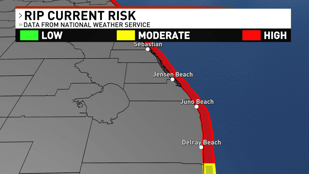
Scattered storms return today as rip current risk expands along South Florida beaches. (WPEC)
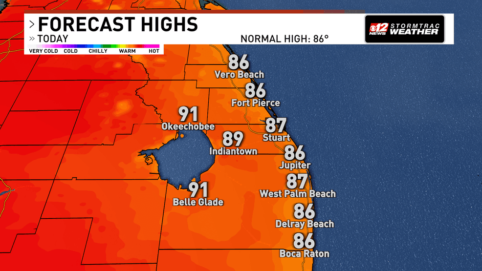
Temperatures will stay above normal, with highs reaching the upper 80s to low 90s along the east coast. Combined with humidity, it will feel even hotter, with heat index values climbing into the upper 90s and low 100s.
Scattered storms return today as rip current risk expands along South Florida beaches. (WPEC)
Scattered to numerous showers and thunderstorms continue through much of next week as deep tropical moisture remains in place and a weak disturbance near the Bahamas lingers nearby. Warm and humid conditions also persist, with an increasing risk of heat-related impacts later in the week.