
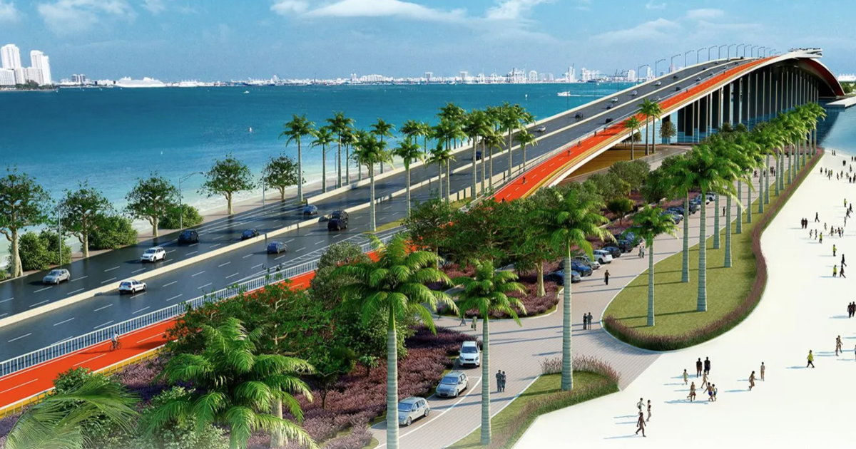
A new centralized resource has launched to help residents navigate the past, present and future of one of Miami-Dade County’s most important roads.
The Rickenbacker Corridor Information Hub (rickenbackercorridor.org) is now live, providing a one-stop digital platform for history, infrastructure data, and upcoming planning initiatives.
The Rickenbacker Corridor is far more than a simple roadway to the Island. It serves as a premier ecological and transportation artery connecting the mainland to a unique concentration of public assets. These include Historic Virginia Key Beach Park, Bill Baggs Cape Florida State Park, MAST Academy and the University of Miami’s Rosenstiel School.
It also supports major athletic venues, cycling paths, and the anticipated redevelopments of the Miami Marine Stadium and Seaquarium sites.
“Understanding what the Rickenbacker Corridor connects is key to appreciating its importance,” said Melissa White, Executive Director of the Key Biscayne Community Foundation. “It provides landlocked communities access to vital resources. This website is designed to help the public stay informed and understand how new ideas can shape the planning process.”
Funded by a grant from the John S. and James L. Knight Foundation, the Hub features:
• Historical timeline: Key milestones dating back to the causeway’s 1947 opening.
• Operational overview: Insights into how the corridor functions today as an integrated system.
• Document library: A collection of public reports, studies, and agreements.
• Future planning: Updates on current studies and instructions on how the public can participate in upcoming decisions.
As the Rickenbacker faces evolving environmental and infrastructure challenges, the site aims to ensure that future decisions are transparent and informed by community input. Residents and visitors are encouraged to visit the hub to explore the document library and sign up for updates.