
Impact Downpours for South Florida Late Today
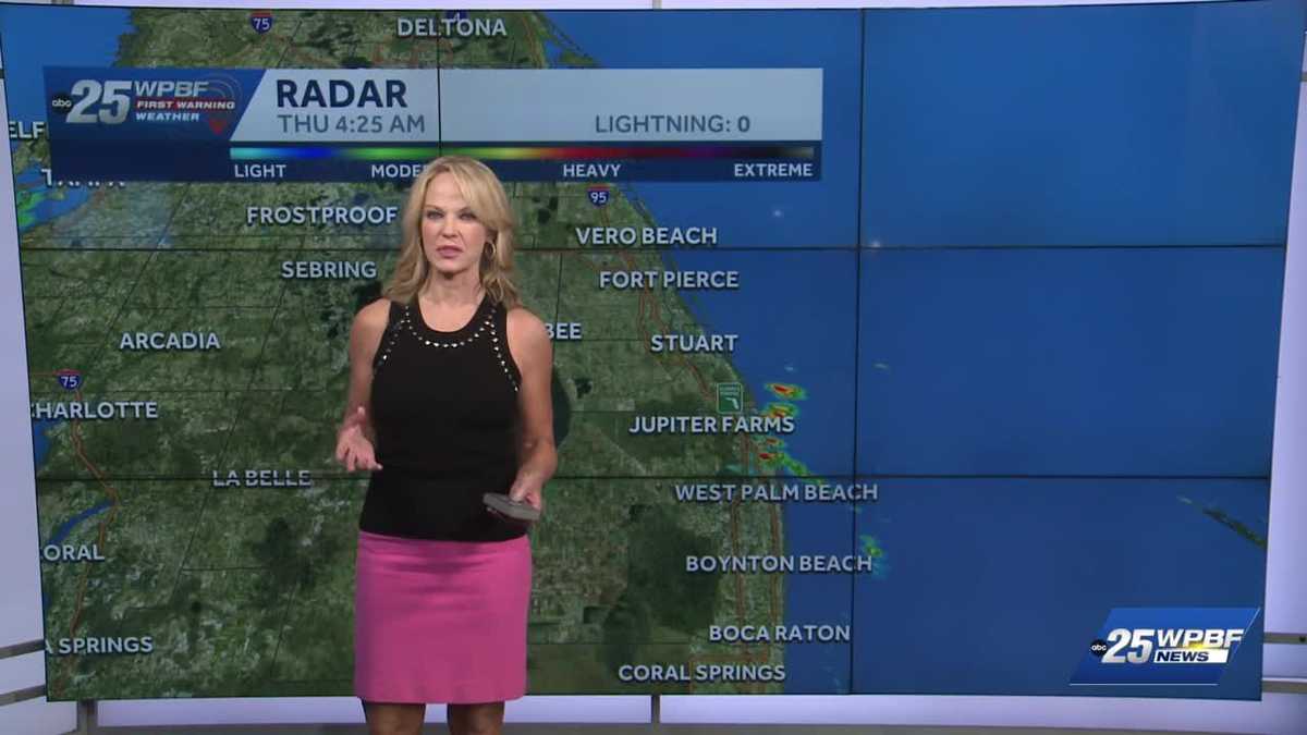
PREPARED FOR THE DAY AHEAD. YASMINE WATCHING THE ROADS. WE START WITH SANDRA. SO THAT YELLOW ICON YOU’RE REFERRING TO IS ON THE NEXT SEVEN DAYS OF THE SEVEN DAY FORECAST, BECAUSE WE ALWAYS QUALIFY IT AS IMPACT. IF THERE’S MORE THAN A 50% COVERAGE OF SHOWERS AND STORMS. AND THOUGH IT’S NOT RAINING VERY MANY PLACES RIGHT NOW, THIS AFTERNOON, IT’S GOING TO ENVELOP ALL OF US. SO THAT’S THE CASE. 70% COVERAGE LATER ON TODAY AFTER ABOUT 230 3:00. THAT SAID, WE DO HAVE SOME ACTION THIS MORNING. DOWNPOUR OVER JUNO BEACH JUNO RIDGE YOU’VE GOT SOME RAIN INTO LAKE PARK BLOWING ROCKS. YOU’RE ABOUT TO GET SOME RAIN AS WELL. WEST OF THERE INTO THE SOUTHWEST CORNER OF PALM BEACH GARDENS AREA AND NORTH OF GRAMERCY PARK CROSSING HAVERHILL ROAD. WE ALSO HAVE A SWATH OF RAINFALL, SO YOU KNOW, A LITTLE PRELUDE, IF YOU WILL. WE ARE GOING TO SEE MORE OF A SOUTHERLY TURN OF THE WINDS THAT’S GOING TO PUMP IN SOME MOISTURE. AND THEN IN A COUPLE OF DAYS OVER THE WEEKEND, MORE OF A SOUTHWESTERLY FLOW PULLING IN FROM A GLOB OF MOISTURE IN THE GULF OF MEXICO. SO IT GETS PRETTY INTERESTING. RIGHT NOW WE HAVE THE LOW 80S IN BOYNTON 79 OUT AT THE AIRPORT, 78 IN VERO. WE ARE IN ROUTE TO DAYTIME HIGHS IN THE UPPER 80S TO ABOUT 90, PULLING IN THE IMPACT LATE. YOU SEE THAT DENOTED BY THAT YELLOW HIGHLIGHTING BAR HERE ON THE TREASURE COAST IN THE PALM BEACHES. IT’S A SIMILAR TALE. LOOKS A LITTLE HUMID OUT THERE FOR SURE. AND THAT IT IS REAL STEAMY. 90 WITH THE IMPACT STORMS REALLY REACHING THAT FEVER PITCH DURING YOUR EVENING COMMUTE. SO GOING FORWARD, ABOVE AVERAGE HIGHS TROPICALLY HUMID EACH DAY WITH IMPACT DOWNPOURS EACH AFTERNOON AND EVENING. I’
WPBF 25 First Warning Meteorologist
An unsettled weather pattern will begin over South Florida today and persist for the next seven days. Higher than average rain chances will occur each afternoon and evening. A strong southwest flow will establish itself over the weekend, reinforcing the tropical moisture advection through the area. That will mean impact downpours for the next several days, some of which could produce flooding. There’s a chance of a few storms as well.
An unsettled weather pattern will begin over South Florida today and persist for the next seven days. Higher than average rain chances will occur each afternoon and evening. A strong southwest flow will establish itself over the weekend, reinforcing the tropical moisture advection through the area. That will mean impact downpours for the next several days, some of which could produce flooding. There’s a chance of a few storms as well.