
The NEXT Weather Team is tracking scattered showers and storms for your Thursday as a wet weather pattern begins for South Florida.

The hour-by-hour forecast in South Florida on Thursday, May 28, 2026.
CBS News Miami
Scattered showers and storms will continue for the morning, some of which could contain heavy downpours and lead to minor flooding.
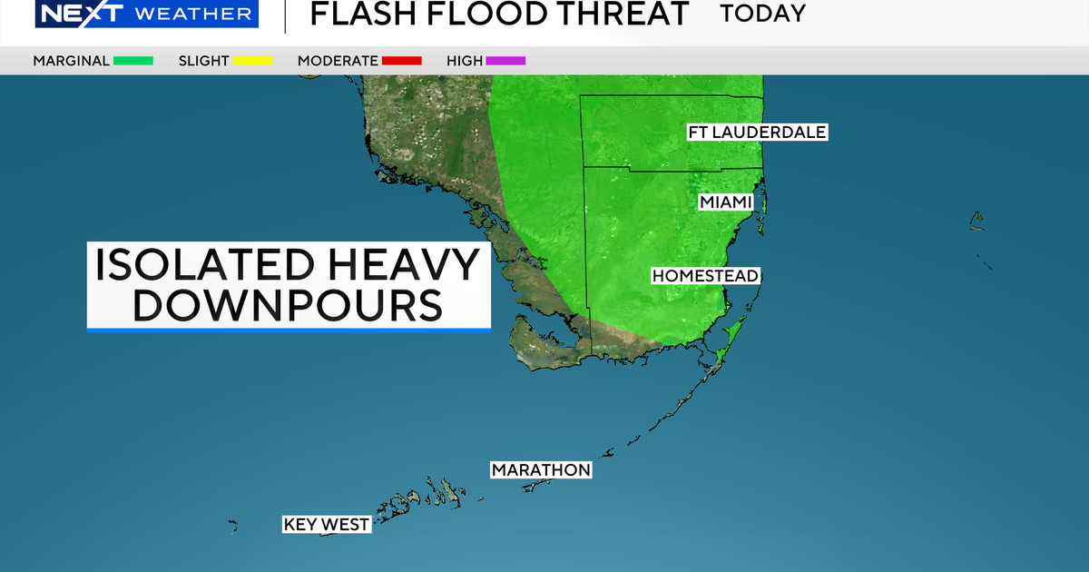
All of Broward, most of Miami-Dade, and the Upper Keys are under a marginal risk for isolated flash flooding today.

The flash flood risk in South Florida on Thursday, May 28, 2026.
CBS News Miami
A Flood Advisory has already been issued for the Upper Keys near Key Largo until 9 AM.
Our team is tracking a 60-70% chance for showers and storms today and Friday, especially during the afternoon and early evening hours.

The rainfall chances in South Florida over the next seven days.
CBS News Miami
While rain chances drop slightly for the weekend, we’ll still be monitoring scattered afternoon storm chances on Saturday and Sunday.
Steamy conditions will also continue across South Florida today as “feels like” temperatures still linger in the 90s.

The feels-like temperatures in South Florida on Thursday, May 28, 2026.
CBS News Miami
The heat sticks around for the weekend with highs in the lower 90s possible before the afternoon storms develop each day.
Looking ahead to next week, our unsettled weather pattern continues at least through the middle of the workweek with daily scattered rain chances.