
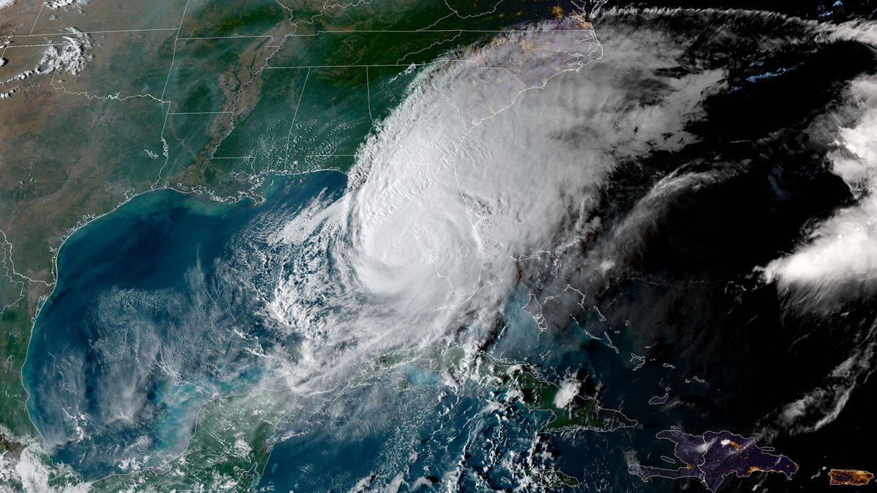
CENTRAL FLORIDA — Hurricane season is here and we want to help you get prepared. In this guide, we will talk with the Spectrum News 13 meteorologists, local emergency officials and residents who are preparing themselves to be ready for whatever this season brings us. We will also share a lot of helpful information, including what to put in your hurricane kit, evacuation routes and maps, and what to do after the storm hits. Remember, taking steps now to prepare will help you better weather a storm in the future.
Let’s look back at the past decade of storms
In 2016, Tropical Storm Colin and Hurricane Hermine served as a wake-up call and reminded the state that it doesn’t take a major hurricane to cause major problems. Hermine dropped more than 22 inches of rain in parts of the Big Bend. Combined with 8-9 feet of storm surge, that almost 2 feet of rain led to serious flooding, and it drove home a key point: it’s not just about the category of the storm; it’s about the impact.
As we know, there’s no such thing as “just” a tropical storm. Flooding rain, storm surge, tornadoes — every system brings multiple threats.
Later in 2016, Hurricane Matthew came close to Florida’s east coast, bringing coastal damage and storm surge. It also marked the beginning of a trend that we’re still watching today, where it’s no longer uncommon for a storm to impact the Sunshine State.
In 2017, Hurricane Irma had a statewide impact, while Maria had an indirect effect on Florida.
In 2018, Category 5 Hurricane Michael wrecked neighborhoods across the Florida Panhandle.
In 2019, Florida had a close call as Dorian skirted by just 100 miles off the east coast. Later in the year, Humberto and Nestor brought flooding and tornado threats.
In 2020, we had a record-breaking year with storms, including Isaias, Sally, and Eta, which was named from the Greek alphabet because the standard list that year was not enough. We had 30 named storms in 2020.
In 2021, storms Elsa and Mindy both made Gulf Coast impacts, with fewer impacts across Central Florida.
The year 2022 was a different story, as Ian had devastating impacts across the state and was followed by Nicole in November.
In 2023, Idalia brought significant storm surge along the west coast of Florida.
The year 2024 brought Debby, Helene and Milton — three storms that will be remembered around the state for a long, long time.
In 2025, for the first time in decades, there was no direct landfall in the United States from a hurricane. But it was still an active season overall with 13 named storms.
As we look back at the most memorable storms from the past decade, we remember what those storms taught us about getting ready for the next one.
QUICK LINKS
— Choose a Section —
EL NIÑO’S IMPACT
— What to expect —

Global weather patterns impact our hurricane season. La Niña and El Niño have to do with the water temperatures in the tropics of the Pacific Ocean.
Our weather experts say that El Niño is on its way this summer.
El Niño will likely develop near the beginning of hurricane season and strengthen through the rest of the year. This could have a big impact on how many storms we see this season.
Learn more about El Niño’s impact. →
FORECAST TRACK UPDATES
— Latest from NOAA and CSU —

There are a few terms we all recognize when it comes to hurricanes, and the cone is one of them.
The cone contains the probable path of the storm’s center, and it represents the potential error in the track forecast.
Tropical track forecasting has improved a little over the past five years. So for 2026, the forecast cone will be just a little narrower.
But it’s important to be prepared even if you are not in the cone.
For example, this is a look back at Hurricane Helene.
From 60 hours before landfall through landfall, most of west-central Florida and the Tampa Bay area that experienced storm surge was not in the cone.
This reminds us that tropical hazards can extend well beyond the cone.
And remember, hurricane conditions are still possible when you are in the cone, and certainly if you live in an area where a Hurricane Watch or Warning is issued.
HURRICANE WATCH VS. WARNING

It’s also important to know the difference between a Hurricane Warning and a Hurricane Watch.
A “watch” announcement is when hurricane conditions are possible within the area.
This will be issued up to 48 hours in advance.
A warning is when hurricane conditions are expected somewhere within the specified area.
A warning is issued 36 hours in advance of the anticipated start of tropical-force winds.
As a storm intensifies, the category increases.
A tropical storm becomes a hurricane when sustained winds reach 74 miles per hour.
And then the ranking scale depends on the storm’s sustained wind speed.
Category 1: Winds 74-95 mph
Category 2: Winds 96-110 mph
Category 3: Winds 111-129 mph
Category 4: Winds 130-156 mph
Category 5: Winds 157 mph+
HURRICANE KIT
— Plan ahead and stock up —
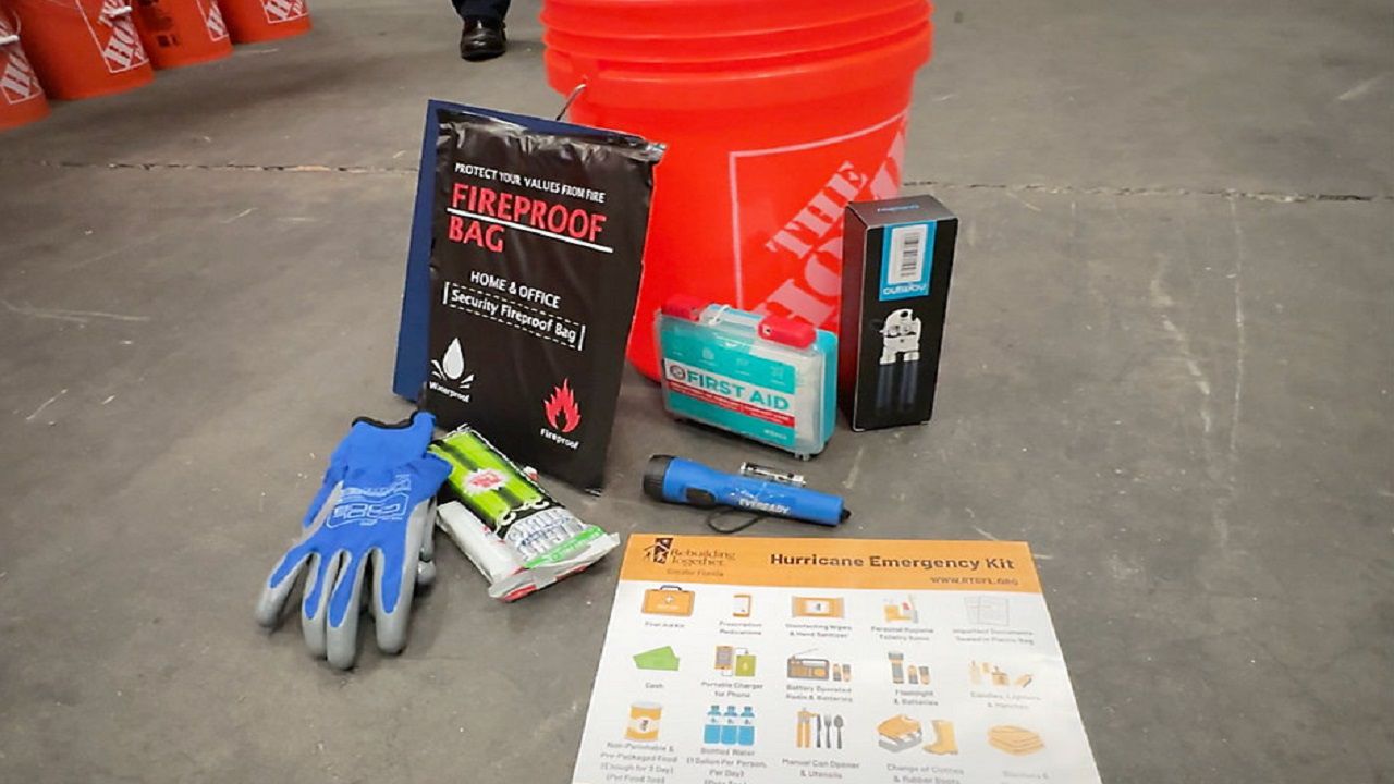
Rebuilding Together Tampa Bay is currently stockpiling common hurricane supplies to be packed in 5-gallon Home Depot buckets and distributed to impacted areas should Florida see a hurricane or storm damage this year. (Spectrum News/Chris McDonald)
Now is a great time to create your hurricane kit or stock up on one you may already have. Don’t want to wait for a storm to get a name because all eyes will be on the tropics. As the storm approaches, store shelves could empty. So, it’s best to buy everything you’ll need — and want — to have on-hand way ahead of time. You don’t want to be caught trying to stock up at the last minute.
Here’s a list of all the basics:
Flashlights and extra bulbs
Battery-operated radio
Battery-operated lanterns
Extra batteries (various sizes)
Wind-up or battery-powered clock
Matches
First aid kit
Duct tape
Rain gear
Plastic garbage bags
Fire extinguisher
Scissors
Can opener
Clean clothes
Extra blankets and pillows
Heavy gloves
Food
Bottled water (one gallon/person/day)
Two coolers (one for drinks, one for food)
Canned foods
Bottled juice
Dry pet food
EVACUATION INFORMATION
— Know your zone and routes —
Type in your address to find out your evacuation zone.
County-by-County Evacuation Routes:
Coastal Storm Surge Zone Maps:
REBUILDING ALONG FLORIDA’S COAST
— Building back stronger —
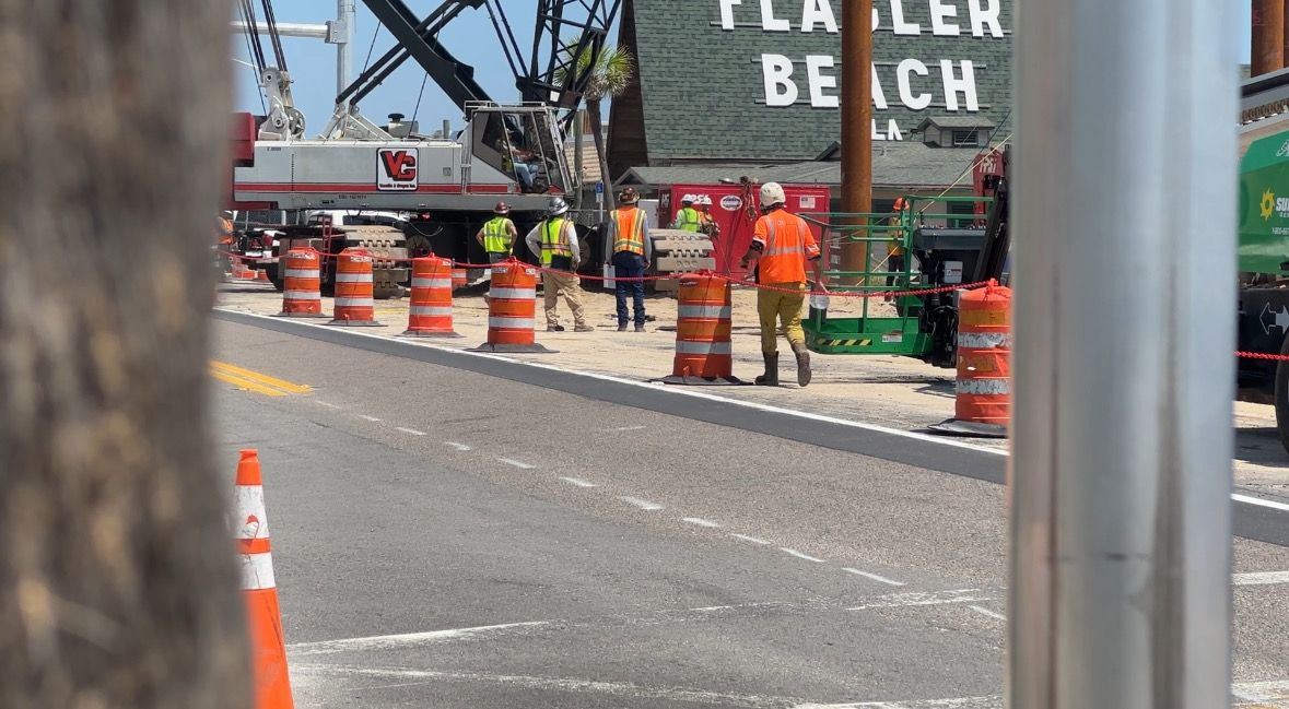
Rebuilding continues in Flagler Beach, now focused on the new pier. (Spectrum News File Photo)
Although Hurricane Matthew technically never made landfall in Florida, the center passed about 30 miles offshore, which was enough to carve a devastating path along our east coast.
The scars are still remembered by many who endured it, including one local business owner who built back stronger — not just after Matthew, but all the subsequent storms that have followed in the past 10 years.
STORM PREP FOR NURSING HOMES
— Protecting vulnerable residents —
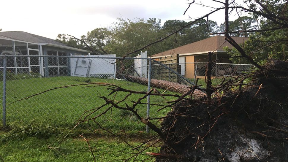
Hurricane Irma hit Florida in 2017. (Spectrum News File Image)
It’s been nine years since Hurricane Irma forced mass evacuations across Florida and left millions without power. Emergency managers say the storm exposed serious problems inside some nursing homes and led to major changes in how facilities prepare for hurricanes.
When Irma swept through the state in 2017, several nursing home residents in South Florida died in overheated facilities in the days after the storm, sparking outrage and prompting statewide reforms aimed at protecting vulnerable residents during emergencies.
Now, emergency officials say preparation begins long before a storm arrives. →
Preparing the power grid and your home
— Resiliency is key —
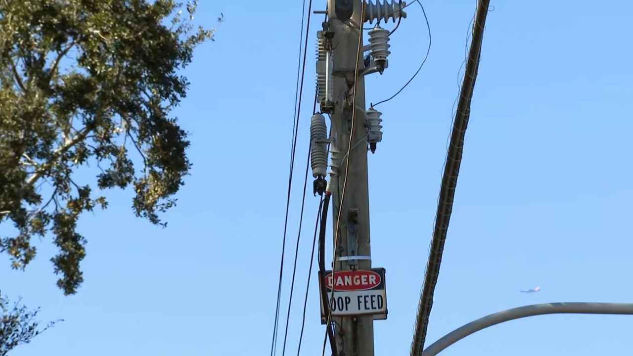
Florida launched a major effort to strengthen its power grid before hurricane season gets underway. (Spectrum News/Curtis McCloud)
In the wake of Hurricane Irma and the storms that followed, Florida launched a major effort to strengthen its power grid. As hurricane season approaches, resiliency is key when it comes to keeping power running.
When the power goes out, almost everything immediately changes. This is an all too familiar circumstance for people living in Central Florida. On the west side of Orlando, Brian Harris knows the feeling all too well. During Hurricane Irma and once again with Ian, this close-knit community was put to the test with flooding and major power outages. →
PREPARING YOUR HOME
— What you can do —

Landscaper works on a customer’s lawn (Spectrum News/Lizbeth Gutierrez)
We can’t prevent a hurricane from coming, but we can minimize the damage to our homes. Here are a few ways you can prepare your home:
Protect your windows. This is very important because once a window is broken, the wind and the rain can wreck things inside.
Check and secure roof shingles or decking.
Reinforce all doors, including garage doors.
Trim trees and shrubs near your home.
Prepare your pool. Don’t drain it — the weight of the water keeps the pool from being lifted off its foundation. But put a cover on it if you have one.
Pull all outdoor furniture inside.
FLORIDA’S FORGOTTEN COAST
— Recovery takes time —
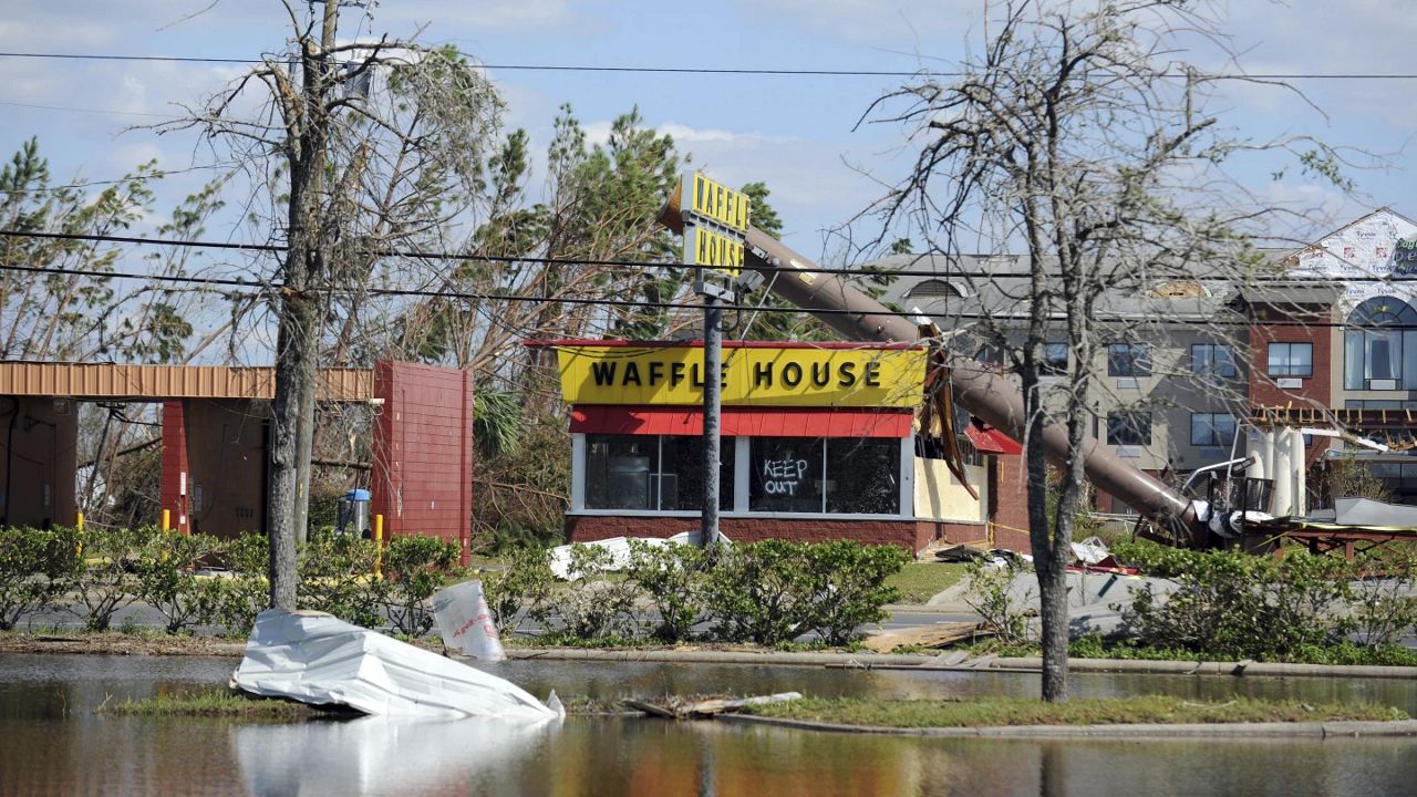
A billboard lies atop a Waffle House restaurant after being knocked down by Hurricane Michael in Panama City, Fla., Oct. 14, 2018. (Carlos R. Munoz/Sarasota Herald-Tribune via AP, File)
Each year, hurricane season arrives with familiar reminders: review your emergency plan, restock supplies, and know your evacuation zone. But for many residents along Florida’s Forgotten Coast, those reminders are tied to something much deeper than seasonal preparedness.
They are tied to memory.
For communities hit hardest by Hurricane Michael in 2018, hurricane season is not just about what could happen. It’s about what did happen.
The storm tore apart entire neighborhoods across the Florida Panhandle. It upended lives in Mexico Beach, Lynn Haven, Port St. Joe and beyond. And while eight years have passed, many residents say recovery after a major hurricane takes far longer than most people realize. →
WHEN ORLO VISTA’S SYSTEM FAILED
— A community under water —
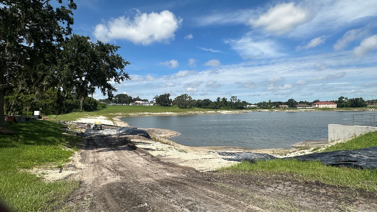
Orlo Vista’s flood mitigation project aims to protect the Orlo Vista and Westside Manor communities against flooding following the damage caused by Hurricane Ian in 2022. (Spectrum News/Massiel Leyva)
Water has always been part of life in Orlo Vista.
Retention ponds. Drainage canals. Shingle Creek winding quietly nearby. Systems designed to carry water away — until one season, they couldn’t.
For longtime resident Janae Buford-Johnson, the story of Hurricane Ian began long before the storm.
For decades, her home stood strong — until September 2022.
AI CHANGING THE FUTURE OF HURRICANE FORECASTING
— Helping forecasters stay ahead of dangerous storms —
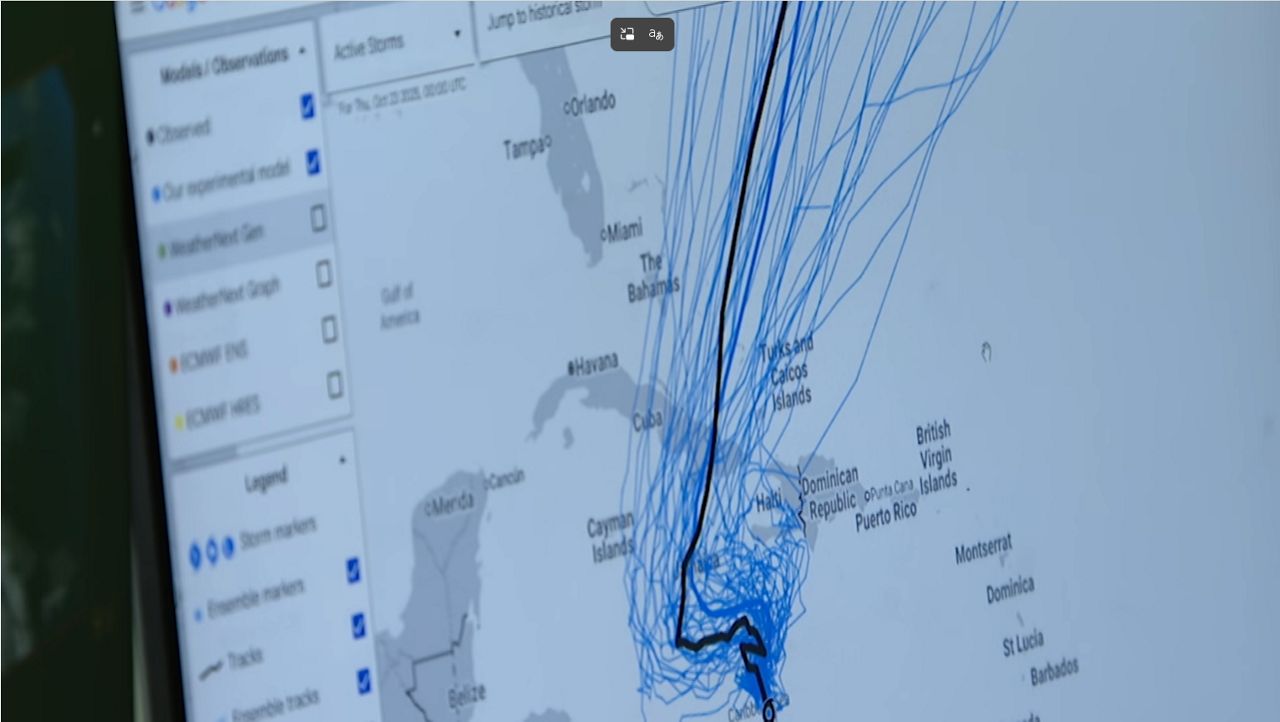
Using Hurricane Melissa as an example, Dr. Joshua Wadler of Embry-Riddle Aeronautical University said an AI model did a better job than the traditional model in forecasting the storm’s path and strength. (File Photo)
A new wave of technology is transforming how meteorologists forecast hurricanes, and experts say it could lead to earlier warnings, more accurate storm tracks and better preparation for communities.
Forecasting hurricanes remains one of meteorology’s biggest challenges, as small atmospheric changes can quickly alter a storm’s path or intensity. Now, artificial intelligence is helping forecasters stay ahead of dangerous storms. →
HURRICANE RADIO PARTNER
— Stay informed —

Courtesy: Getty Images
As a storm approaches Central Florida, staying aware with the latest information will be vital.
If for some reason you can’t get us on your TV or mobile phone, you can listen to us on the radio via our hurricane radio partner:
DOWNLOAD THE SPECTRUM NEWS APP
— Access Spectrum News 13 anywhere —
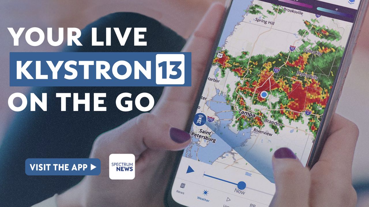
Download the Spectrum News App
Getting up-to-the-minute news can be paramount during a storm crisis, so be sure to download the Spectrum News App (iOS) (Google Play Store). With national reach, boots-on-the-ground local coverage and an unimpeachable weather team, we’ve got you covered all storm season long.
The Spectrum News App’s Storm Season section is designed specifically to provide everything you need to know about hurricane season, from breaking weather reports to the latest news on what you’ll need to prepare for and get through any worst-case scenario, who to contact in an emergency and more. Our dedicated Weather Section provides even more comprehensive year-round coverage, including hour-by-hour forecasts and daily updates, facts and knowledge from hometown meteorologists with the experience and expertise residents have trusted for decades. Klystron 13’s cutting-edge radar technology features hyperlocal data and temperature overlays, as well as long-range tropical system cone forecasts to help you plan ahead.