
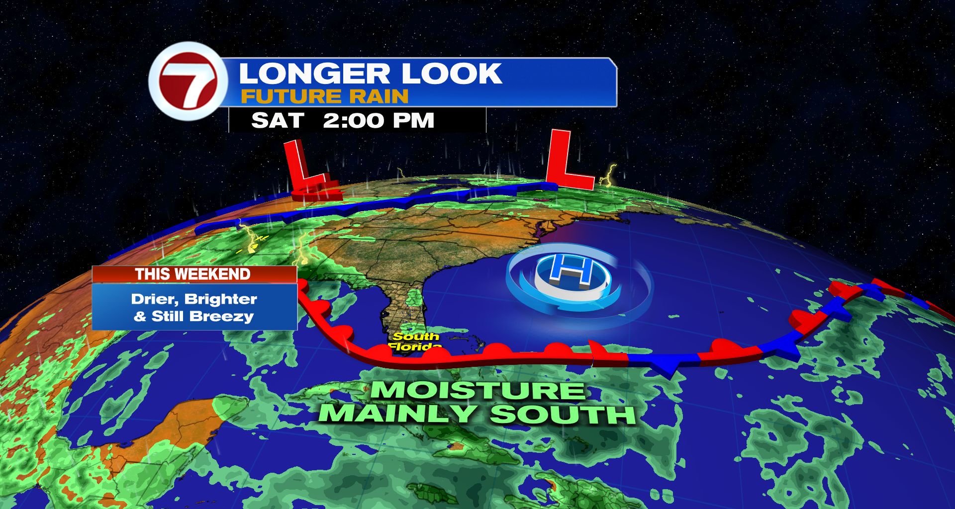
(WSVN) – Beautiful weather returns just in time for the weekend after a stormy week across South Florida. This will especially be welcome after days of cloudy skies.
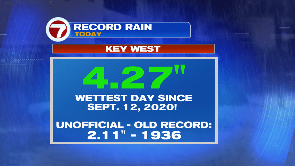
While Friday has been drier across Miami-Dade and Broward, it has been a soggy and stormy day in the Key West area.
In fact, Key West has measured more than 4 inches of rainfall this Friday, making it the wettest day since September 12, 2020, according to the National Weather Service office there.
Much of the area will continue to reap the benefits of the rare, June front that crossed through late Thursday, with relatively low humidity for this time of the year on Saturday — similar to how it felt on Friday.
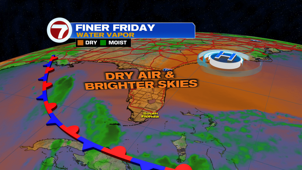
This will be paired with sunshine and patchy clouds, breezy conditions and warmer highs in the upper 80s.

Higher humidity then returns and will likely remain high for the rest of the summer starting Sunday.
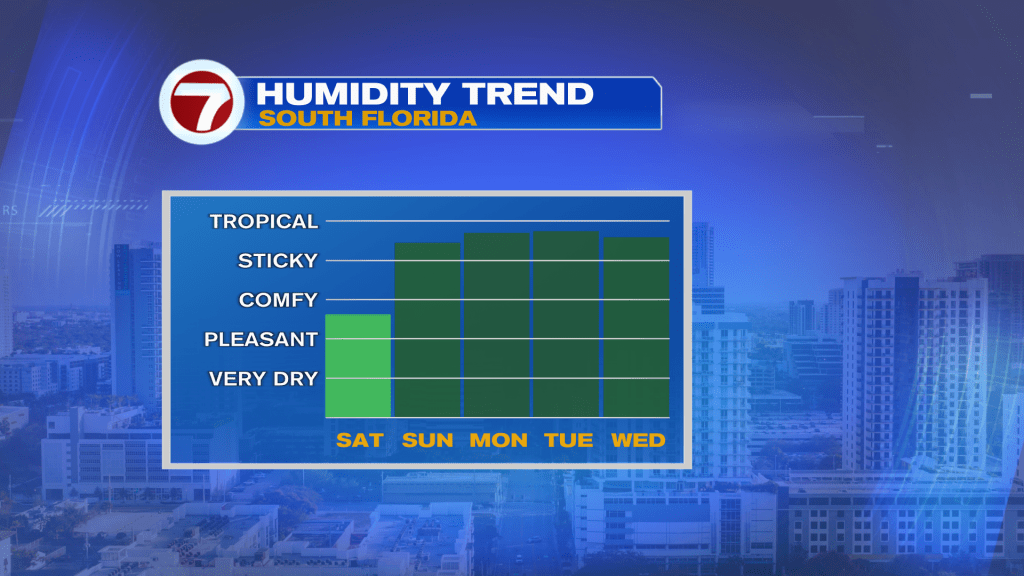
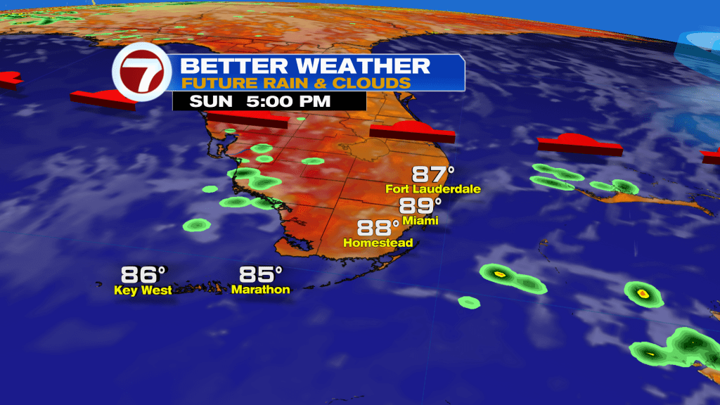
Overall, Sunday will remain a nice day despite the steamier air mass. Highs will near 90F while we see partly cloudy skies and only isolated, passing showers.
Looking forward to next week, the forecast turns more uncertain. Rain chances are expected to rise but it will depend on where a moisture plume from the south goes. Some model guidance takes it into Florida while others take it into the Gulf.
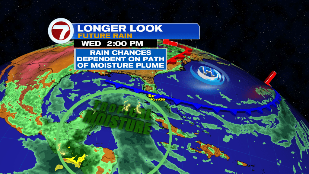
Therefore, scattered to numerous storms will be possible, especially mid next week, but it’s not a locked-in forecast at this time. Stay tuned for further details!
Copyright 2026 Sunbeam Television Corp. All rights reserved. This material may not be published, broadcast, rewritten or redistributed.
Join our Newsletter for the latest news right to your inbox