
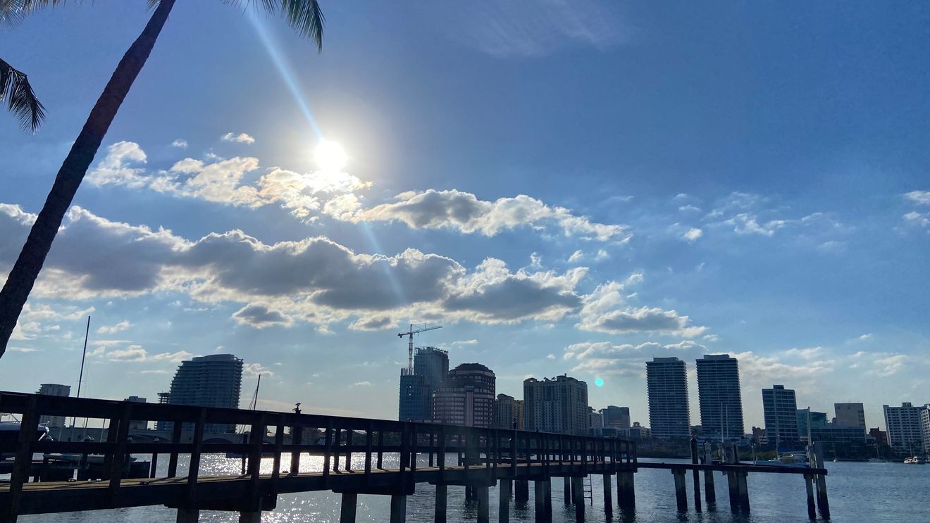
WEST PALM BEACH, Fla. (WPEC) — South Florida will hold onto a relatively quiet weather pattern for one more day before a much wetter stretch arrives later this week.

Temperatures will be a bit warmer Sunday. Expect an isolated rain chance, mainly inland. (WPEC)
An area of high pressure, which is a region of sinking, stable air, remains in control today and Monday, keeping the highest chances for showers and thunderstorms focused west. A steady easterly breeze will push sea breeze activity inland, allowing scattered afternoon storms to develop mainly near the interior sections of the region.
Most locations along the east coast will remain warm and partly sunny, although a few showers cannot be ruled out. Any storms that develop today or Monday are expected to remain below severe levels, with brief downpours and lightning serving as the primary impacts.
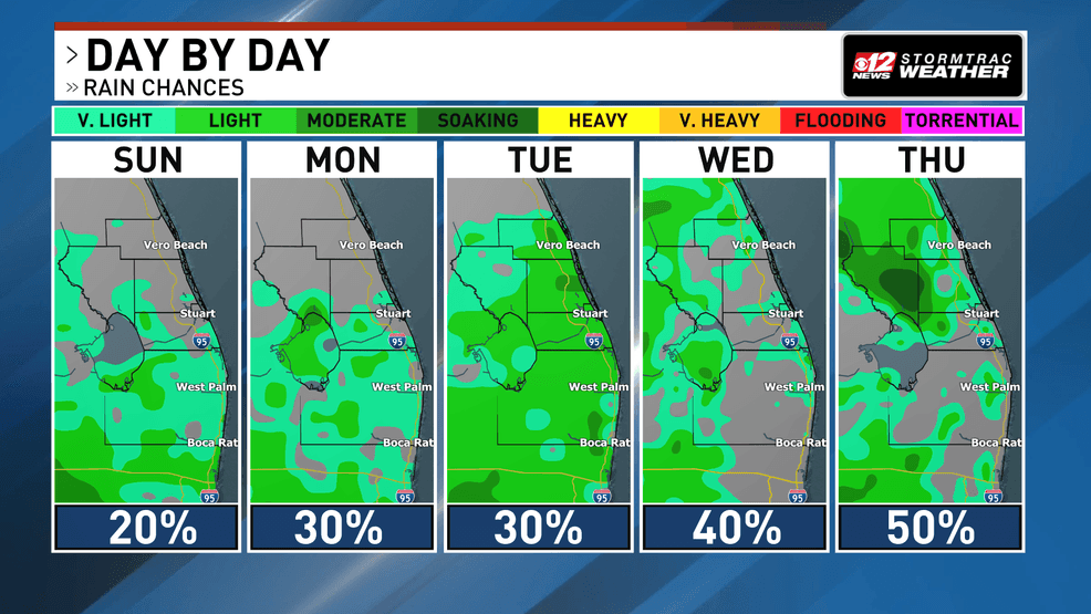
Rain chances increase mid-week as more tropical moisture creeps back into the area. (WPEC)
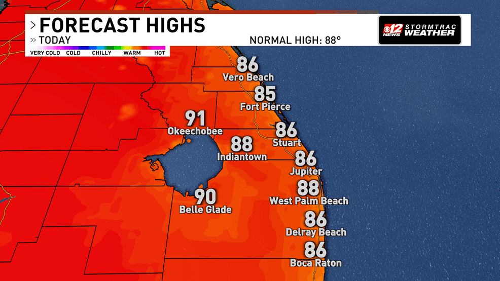
Heat and humidity will become increasingly concerning today and tomorrow with humidity increasing. Afternoon temperatures will reach the upper 80s to low 90s, with some inland locations climbing into the mid-90s. Combined with humidity, it will feel more like 100 to 105 degrees across portions of Southwest Florida during the hottest part of the day.
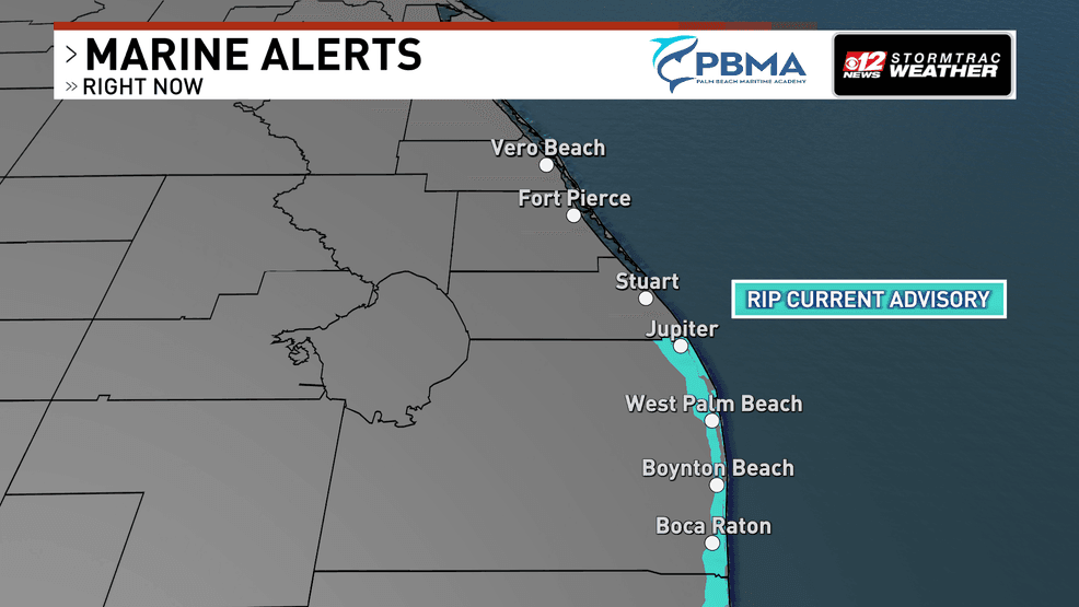
Beach conditions also remain hazardous. A high risk of rip currents continues at all Atlantic beaches through this evening, making entering the surf dangerous even when conditions appear calm.
The weather pattern begins to change by midweek as deeper tropical moisture returns to South Florida. This will allow shower and thunderstorm coverage to increase significantly, with scattered to numerous storms expected across much of the region.