
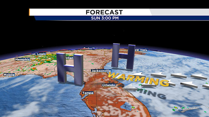
Humidity slowly creeping back into Central Florida.
High pressure keeping Central Florida warm and dry.
ORLANDO, Fla. – Temperatures are starting off warmer this morning than the last few days as Central Florida’s weather pattern begins to transition back to reality for the second half of the weekend. Humidity and temperatures are starting to rise back to more typical levels.
High pressure keeping Central Florida warm and dry.
Your Sunday Funday will feature no rain chances and partly cloudy skies, however, you will notice an uptick in humidity and temperatures.
Dry conditions with a mix of sun and clouds and highs in the low 90s
As our winds return to a more southeasterly flow, that will allow for highs to climb back into the 90s with a heat index a few degrees higher.
We will hold onto this dry air to start the work week with rain chances next to nothing and highs in the low 90s. Our “feels like” temperatures will be back to the upper 90s.
Rain chances climb for the upcoming work week.
By mid-week, rain chances return as atmospheric moisture increases ahead of a cold front pushing into the Southeast by Wednesday.
Watching a weak cold front nearby late next week increasing rain chances.
This will help to fire off scattered showers and storms starting on Wednesday and lasting through the weekend.
Daily Forecast
The News 6 Weather team ensures you’re always on top of the day’s weather.
Copyright 2026 by WKMG ClickOrlando – All rights reserved.
About the AuthorJordan Patrick headshotJordan Patrick
AMS Certified Meteorologist with a decade of experience forecasting in the state of Florida. Jordan has covered some of the state’s most recognized hurricanes including Irma, Michael, Ian, Milton, and Helene.