
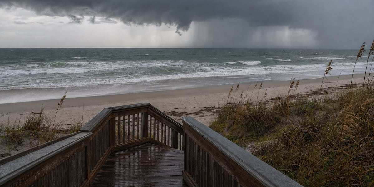
SARASOTA, Fla. (WWSB) – If you’ve been waiting for those classic late-afternoon thunderstorms to make a comeback along the Suncoast, this weekend may be the one you’ve been hoping for.
Meteorologists have a name for it. It’s called the sea breeze regime, and after spending much of the week favoring storms well inland, Mother Nature is finally shifting back into a pattern that gives Sarasota, Bradenton, Venice and the beaches a better chance of seeing some much needed rain.
Don’t worry. There won’t be a quiz later.
This weekend
The big weather story is a strengthening Bermuda High stretching west across Florida. That changes our steering winds from a southwest direction to a more southeast flow.
Why does that matter?
Think of afternoon thunderstorms like little boats floating on a river. They develop where the Atlantic and Gulf sea breezes collide over the interior, but the steering winds determine where they drift afterward.
This weekend, those steering winds will begin nudging storms back toward the Gulf Coast during the late afternoon and evening. That doesn’t guarantee everyone gets wet, but it does mean our coastal communities finally have a better opportunity for rain than we’ve seen lately.
Saturday should feature a mix of sunshine and building afternoon clouds with highs around 88 degrees. Rain chances remain scattered, around 30 to 40 percent near the coast, with higher coverage inland where storms first develop.
Sunday looks very similar with highs near 88, increasing afternoon storms and another chance for some of those inland thunderstorms to survive long enough to reach the beaches.
Of course, not everyone will see rain. That’s Florida in the summer. Your neighborhood may stay dry while someone just two miles away is wondering if they need a canoe.
Next week
The overall weather pattern changes very little.
Temperatures stay in the upper 80s to near 90 each afternoon, while overnight lows remain muggy around 79 to 80 degrees.
Daily afternoon thunderstorms remain in the forecast through the week as sea breezes continue to do what sea breezes do best. Storm coverage may become a bit more widespread by the middle of the week as tropical moisture increases, but there are no organized tropical systems or cold fronts headed our way.
The biggest headline continues to be the heat. Afternoon heat index values will routinely climb between 100 and 107 degrees before storms begin developing.
Boating
Outside of thunderstorms, it looks like another excellent stretch for boaters.
Winds generally stay below 10 knots with seas around 2 feet or less through the weekend and into early next week.
Just remember that summertime thunderstorms can develop quickly. A calm afternoon on the water can turn stormy in a hurry, so keep an eye on the sky and have a weather app handy before heading offshore.
Bottom line
The weekend won’t be a washout, but it will feel much more like the Florida summer many of us know so well.
The sea breeze pattern is finally shifting back into one that gives the Suncoast a fighting chance for those late-day cooling thunderstorms. After several days of watching storms blossom inland while our beaches stayed mostly dry, that’s welcome news for lawns, gardens and anyone who’s been waiting for Mother Nature to turn the sprinkler system back on.
Copyright 2026 WWSB. All rights reserved.