
WEST PALM BEACH, Fla. — WEST PALM BEACH, Fla. —Summer weather remains in full swing across South Florida this weekend as hot temperatures, high humidity, and daily afternoon thunderstorms continue.
High temperatures will climb into the lower to middle 90s Saturday, but humidity will make it feel closer to 100 to 104 degrees during the afternoon.
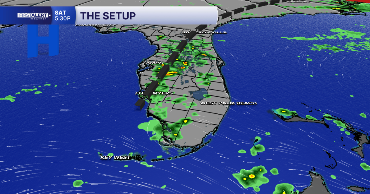
Scattered showers and thunderstorms are expected to develop during the afternoon and evening, with the highest coverage focused across inland and western portions of South Florida. However, a few storms could also develop near the Atlantic coast early in the afternoon as the sea breeze moves inland.
Rain chances remain similar on Sunday before a plume of drier air associated with the Saharan Air Layer begins moving into South Florida late Sunday and Monday. That should temporarily reduce rain chances to start the new workweek while allowing plenty of sunshine to return.
The quieter pattern won’t last long. Forecast models indicate a frontal boundary approaching Florida by the middle of next week, bringing another increase in afternoon showers and thunderstorms from Tuesday through Friday.
If you’re heading to the beach this weekend, a moderate risk of rip currents continues along Atlantic beaches. Swim near a lifeguard and use caution if entering the surf.
MORE WEATHER: Radar | Alerts | 7-Day Forecast | Hourly Forecast
Today
High: 90°-94°
Heat Index: 100°-104°
Scattered afternoon storms
Tomorrow
Hot and humid
Afternoon storms continue
Saharan dust begins arriving late
Monday
More sunshine
Lower rain chances
Continued summer heat
-Meteorologist Skylar Spinler