
ORLANDO, Fla. – Expect plenty of sunshine and comfortable temps across Central Florida this week, but strong winds will make conditions hazardous for beachgoers and boaters.
TUESDAY
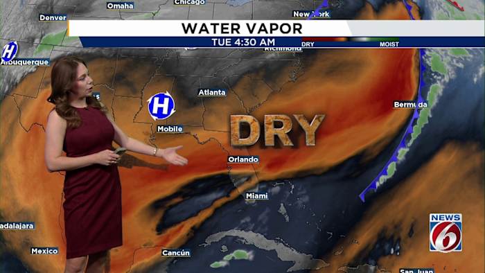
High pressure over Texas is sliding east, keeping our weather mostly dry and pleasant. Across Central Florida, skies will be partly cloudy as a northeast breeze kicks up at 10-15 mph.
Temperatures will feel seasonable, topping out in the upper 70s to low 80s.
[VIDEO BELOW: Latest on washed-out Eustis bridge that cut off residents to their homes]
Tuesday night won’t be as chilly as previous evenings, with lows cooling into the mid- to upper 50s inland and low 60s to low 70s along the coast.
If you’re planning on heading on the boat or to the beach, beware as a high risk of rip currents and a small craft advisory remains in place through Tuesday.
WENESDAY-WEEKEND
The quiet weather pattern sticks around through the end of the week, but changes arrive over the weekend.
A cold front moving in from the north will approach Florida late Sunday into Monday, bringing a small chance of rain.
Temperatures will stay warm through Sunday, with highs in the low to mid-80s, but models show a potential for a large drop in temperatures by early next week.
Meteorologist Jonathan Kegges has more on the next big cold front headed our way that could plunge temps into the 30s for areas north of Orlando.
Daily Forecast
The News 6 Weather team ensures you’re always on top of the day’s weather.
Copyright 2025 by WKMG ClickOrlando – All rights reserved.