
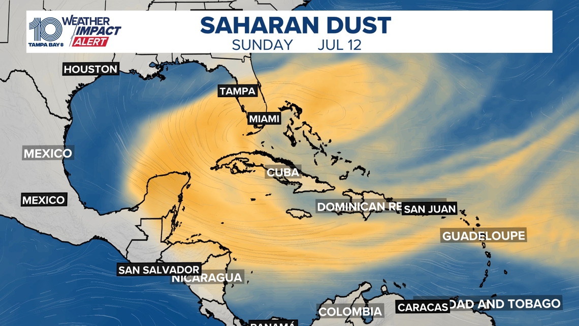
A cloud of Saharan dust is drifting into Florida, a common summer event that brings dry air, hazy skies and stunning sunsets across the region.
TAMPA, Fla. — A plume of dust from the Sahara Desert is floating into Florida, and it’s already making its mark on the Tampa Bay-area forecast.
These recurring summer events, known as Saharan Air Layers (SAL), develop when strong winds over the Sahara Desert in Africa lift fine dust into the atmosphere. That dust then rides the trade winds more than 5,000 miles across the Atlantic, often arriving in Florida between late May and early August.

This story continues below.
The Saharan dust is already in our atmosphere. It will stick around through the weekend before it starts to fade out early next week.
How does Saharan dust impact weather across Tampa Bay?
High pressure over Florida and a surge of drier Saharan air will keep rain chances lower through Friday, July 10, while allowing temperatures to climb in the Tampa Bay area. Moisture is expected to slowly and gradually return over the weekend, bringing a better chance for afternoon and evening thunderstorms, especially inland as the sea breeze moves east.
As the dust arrives, you may also notice:
Hazy skies and reduced visibilityBrilliant orange and pink sunrises and sunsetsLower air quality, which can be a concern for those with asthma or respiratory issues
Another added bonus — Saharan dust can actually help limit hurricane activity by bringing:
Dry air, which chokes off the moisture storms need to growStrong upper-level winds, which can disrupt developing systemsDust particles that reflect sunlight and slightly cool ocean waters
How long will Saharan dust stick around?
Saharan dust outbreaks are most common in early to mid-summer. By August and September, tropical moisture and increased rainfall usually wash the dust out of the atmosphere, and the trade winds that carry it begin to weaken.