
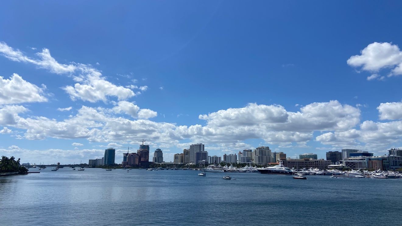
WEST PALM BEACH, Fla. (CBS12) — South Florida is facing a combination of dangerous heat and the potential for a few strong to severe thunderstorms this afternoon and evening.
Heat remains the most widespread hazard. Afternoon temperatures will climb into the mid to upper 90s, and when combined with high humidity, it will feel like 105 to 110 degrees in many locations. A Heat Advisory remains in effect for coastal communities in South Florida; stay hydrated, wear lightweight clothing, take frequent breaks in the shade or air conditioning, and avoid strenuous outdoor activity during the hottest part of the day.
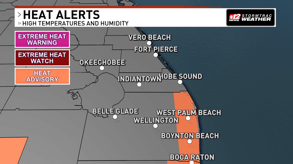
Dangerous heat and a few storms for South Florida this afternoon. (WPEC)
While the Saharan Air Layer—a mass of hot, dry air from North Africa—is limiting the overall number of storms.
Interactive Radar: Track storms across your area
Because the Saharan dust is expected to become even more established today, the area will see even lower rain chances, fewer clouds, and even hotter afternoon temperatures.
This pattern will continue into tomorrow with rain chances increasing more substantially by Friday.
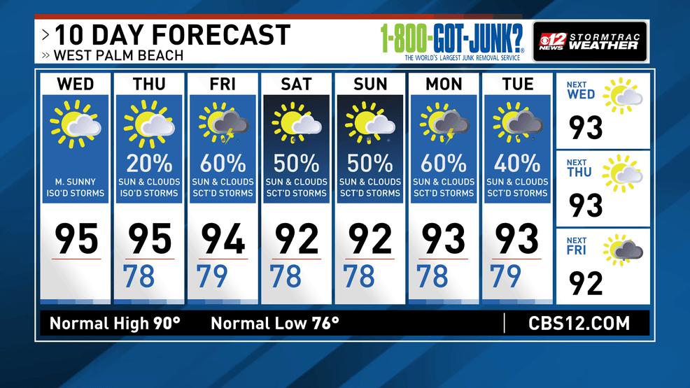
Dangerous heat and a few storms for South Florida this afternoon. (WPEC)