
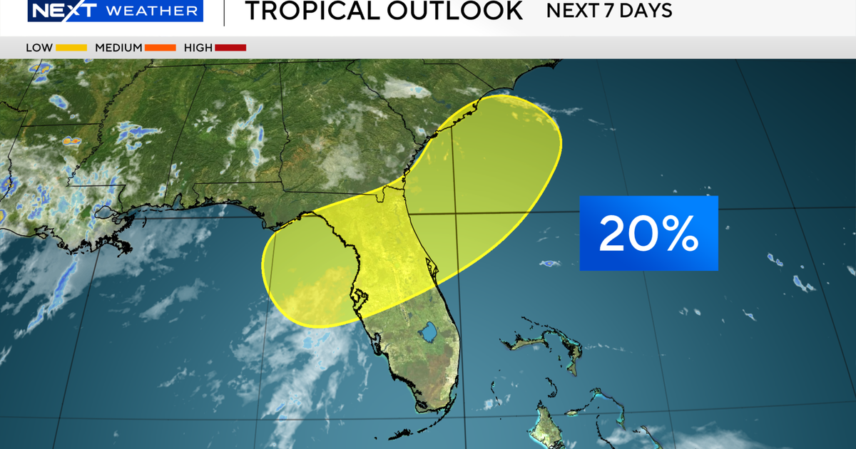
The National Hurricane Center has officially indicated an area in the northeastern Gulf with a low (20%) chance of tropical development over the next seven days.
This graphic shows the tropical outlook over the next seven days.
CBS News Miami
The highlighted area of potential development falls over North Florida, which is something that the CBS News Miami NEXT Weather team will closely monitor over the next few days.
However – computer forecast models are not in agreement, which is why there is a 20% chance of development.

The European Model has higher confidence of a system potentially forming in the northeastern Gulf over the next several days.
CBS News Miami
The European Model (EURO), which historically does a better job with tropical systems, has a higher confidence of something forming, while the GFS Model does not.
There are a lot of factors which go into the forecast, so it will likely change as new data is received.

The GFS Model has lower confidence in a system forming the northeastern Gulf over the next several days.
CBS News Miami
So, what does this mean for South Florida?
As of late Wednesday morning, any impacts would be more focused on North and Central Florida, as mostly a much-needed rainmaker before moving toward the southeastern U.S. coastline.
That would keep any impacts in South Florida on the lower end.
The CBS News Miami NEXT Weather team will continue to monitor the situation and provide updates.
If this potential system were to develop, it would receive the name Bertha.