
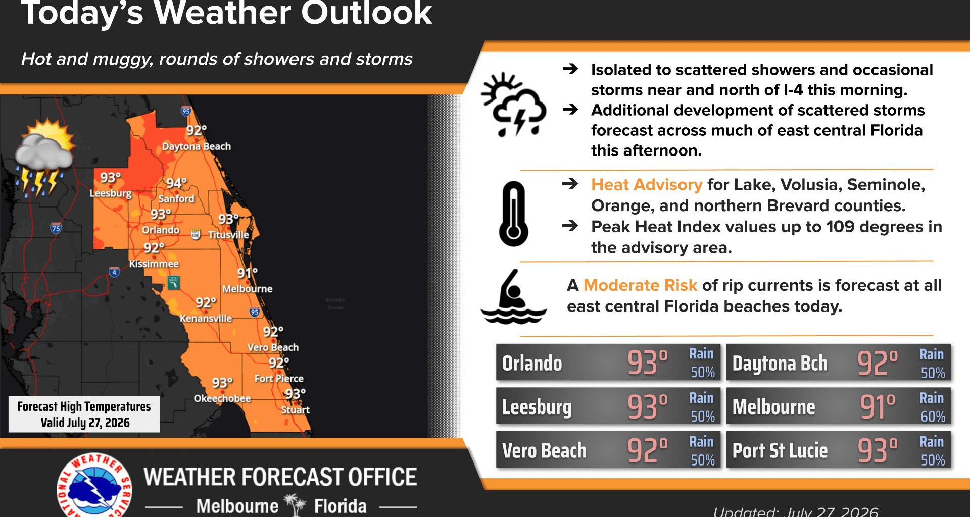
Monday starts the week hot and humid with afternoon showers.
Isolated to scattered showers and occasional storms are forecast throughout the Interstate 4 corridor with additional coverage increasing areawide this afternoon, according to NWS Melbourne.
There is a chance for showers and thunderstorms before 2 p.m., showers and possible thunderstorms between 2 p.m. and 3 p.m, and then a chance of showers and thunderstorms after 3 p.m.
Skies will be mostly sunny with temperature highs near 93 degrees. Peak heat indices are up to 109 degrees.
A heat advisory is in place for Lake, Volusia, Seminole, Orange and northern Brevard counties.
A moderate risk of rip currents is forecast at all east Central Florida beaches.