
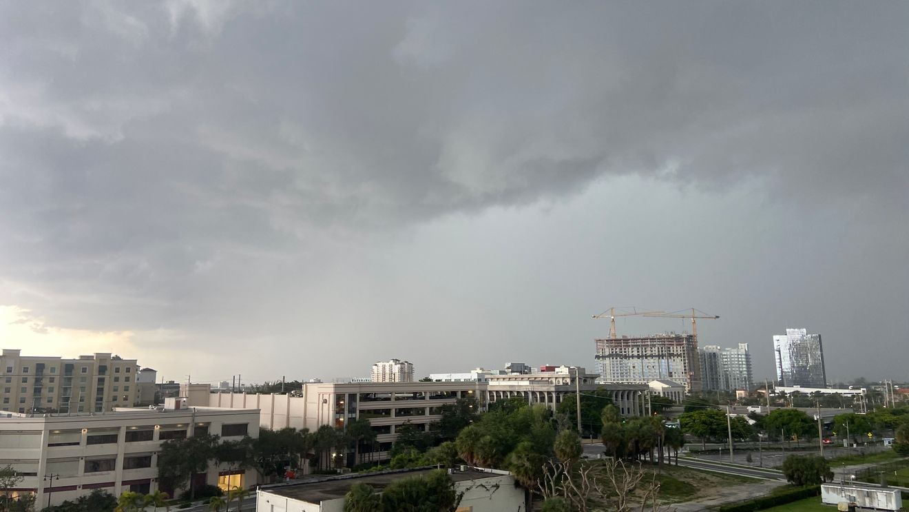
WEST PALM BEACH, Fla. (CBS12) — South Florida is in for another active weather day as deep tropical moisture combines with slow-moving thunderstorms to increase the risk of localized flooding, especially along the east coast.
Scattered to numerous showers and thunderstorms are expected to develop earlier than usual this afternoon and continue into the evening. The greatest coverage will be across the interior and east coast metro areas, where a persistent south to southwest wind will keep the Atlantic sea breeze pinned close to the coast.
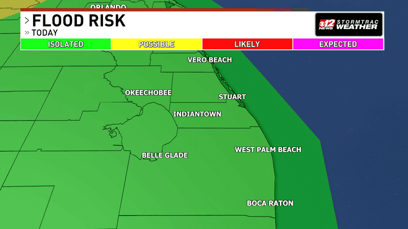
Rounds of heavy rain will contribute to a flooding threat on Sunday. (WPEC)
The atmosphere is loaded with tropical moisture, allowing storms to produce torrential downpours in a short amount of time. Because storms will move slowly, multiple rounds of heavy rain could affect the same neighborhoods, increasing the risk of localized flooding in urban and poor-drainage areas. The east coast metro, including portions of Palm Beach county, has the greatest potential to see flooding if storms repeatedly track over the same locations.
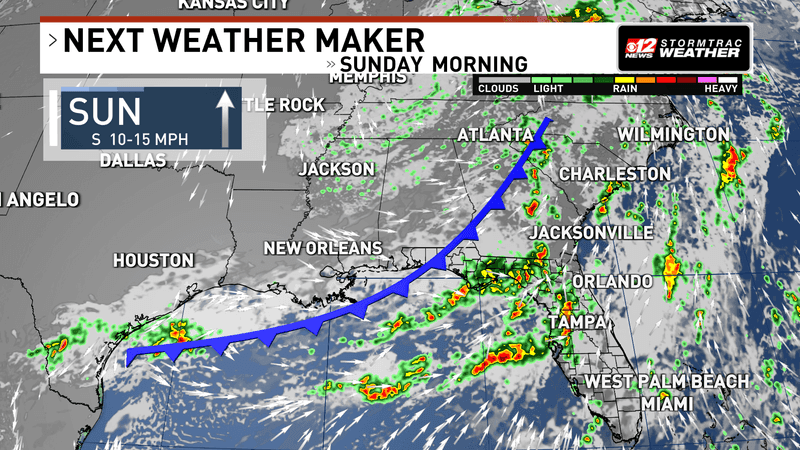
A cold front to the north will stall and become a stationary front, helping to keep deep tropical moisture in place across South Florida. (WPEC)
While widespread severe weather is not expected, a few thunderstorms could still become stronger where storm boundaries collide. The strongest storms may produce gusty winds, frequent cloud-to-ground lightning and very heavy rainfall.
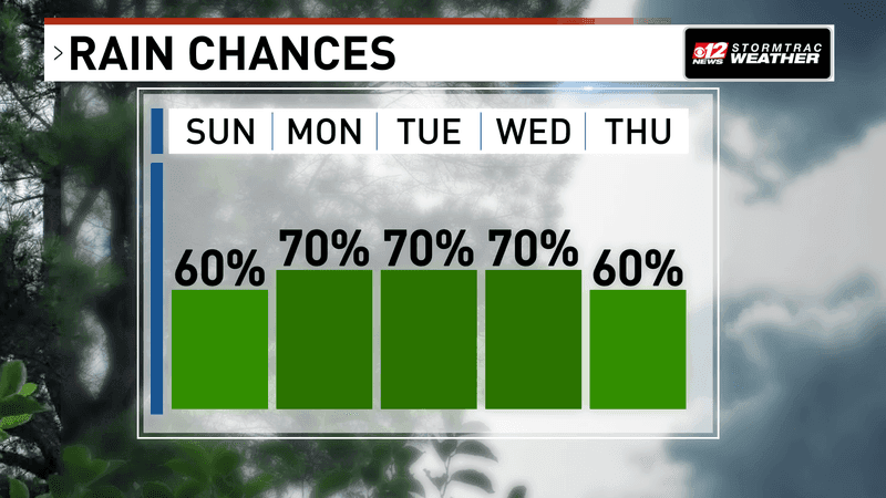
Abundant water vapor will keep rain chances scattered to numerous over the next several days with most of the rain this week arriving before Thursday. (WPEC)
Temperatures will climb into the lower 90s this afternoon. Although showers and thunderstorms are expected to develop earlier in the day, heat index values will still reach between 103 and 108 degrees before storms provide some temporary relief.
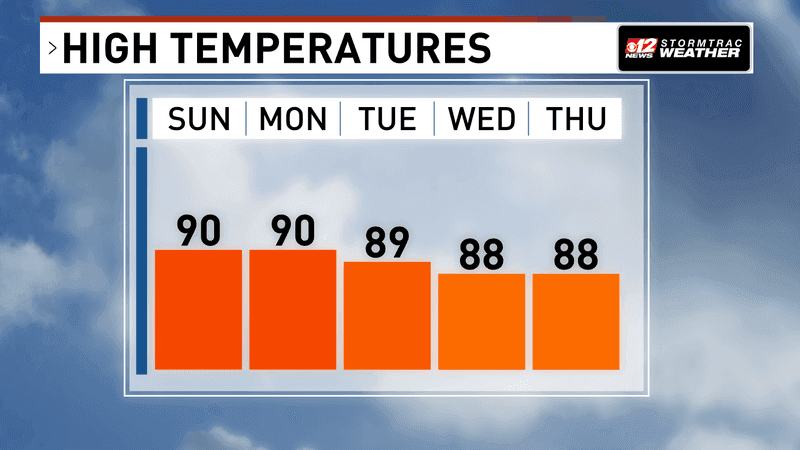
Temperatures will stay closer to seasonal averages in the lower 90s thanks to the rounds of showers and storms in the afternoon. (WPEC)
The active weather pattern will continue into Monday as abundant tropical moisture remains in place. Another round of slow-moving afternoon thunderstorms is expected, with the highest chances once again focused across the interior and east coast metro areas. Localized flooding will remain the primary concern, especially where heavy rain falls repeatedly over the same locations.