
TALLAHASSEE, Fla. (WCTV) – A pretty good weekend to get outdoors and enjoy the weather. However, you may need to dodge a few showers today and tomorrow.
Saturday showers
Heading out the door this morning plan on dry weather with temperatures in the 70s.
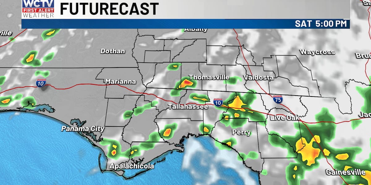
Partly to mostly sunny through midday. Showers developing after 1 p.m. moving from east to west from the Atlantic sea breeze. A lot of us see rain this afternoon, especially those close to I-75.
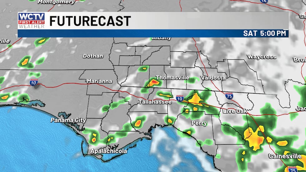 Scattered showers and storms on Saturday afternoon.(WCTV)
Rain totals should be under 0.5 inch for most, with a few spots picking up higher amounts underneath persistent storms.
Less rain on Sunday
Winds shift more southerly tomorrow which will bring the sea breeze inland much quicker, so plan on some morning showers along the coast, turning sunny in the afternoon.
For the Big Bend showers arrive along the sea breeze late morning into the early afternoon, turning sunny, warm and humid in the afternoon.
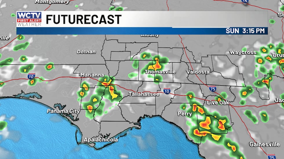 A chance for afternoon showers on Sunday, not a washout.(WCTV)
In South Georgia, the showers and storms arrive during peak heating and will be at their strongest. Heavy rain, gusty winds and frequent lightning all possible.
Rain and storms tomorrow should be short-lived for most spots. The majority of the day will be dry. Highs in the low to mid 90s.
Beach and boating
Conditions are looking overall good for the folks heading to the coast this weekend. Outside of some isolated morning showers or storms, the afternoon is going to feature a southeast/light onshore breeze. Waves will be under two feet.
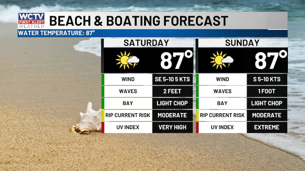 Isolated showers and hot, otherwise a great weekend to get onto the water.(WCTV)
Both beachgoers and families fishing will be able to enjoy the waters for most of the weekend, just be sure to check the radar before you take the boat out as thunder and lightning can develop in an instant.
Heating up next week
High pressure slowly builds in early next week and will start to lower rain chances each afternoon. I expect partly to mostly sunny and HOT afternoons. Temperatures should reach the low to mid 90s early week.
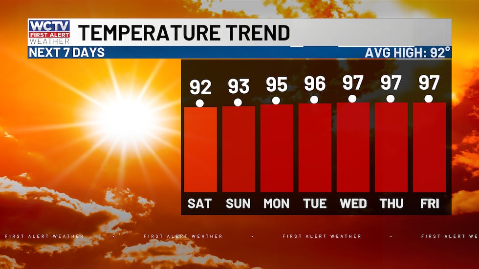 Highs ramp up next week as high pressure settles in.(WCTV)
With the high continues to build through the end of the week, temperatures should reach the upper 90s by Wednesday or Thursday and stay high into next weekend.
Perseid meteor shower🌠
A meteor shower will be peak between Wednesday night (Aug. 12) and Thursday (Aug. 13 morning). This is as debris from the comet Swift-Tuttle passes by Earth.
If you leave the city lights, you will be able to catch 60 to 100 meteors per hour! You can submit photos of the meteor shower here.
Tracking the tropics
Turning to the Atlantic and Gulf, the waters remain fairly quiet as we approach the peak of hurricane season. There is no development expected in the next few days.
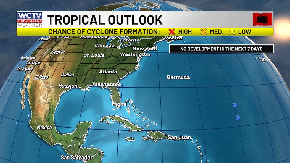 No development is expected over the next few days.(WCTV)
Looking ahead to long range computer models, they are trying to spin up a tropical wave sometime next week. If the wave organizes into something more, it will stay in the open waters and NOT impact the lower 48.
To stay updated on all the latest forecasts and weather, follow WCTV First Alert Weather on Facebook and X (Twitter).
Click here to see all the latest weather headlines and here to view the First Alert Radar. Receive push alerts and watch the latest forecast anytime on the free WCTV First Alert Weather app. Click here to download it now.
Interested in becoming a WCTV First Alert Weather Watcher? Click here to join the team!
Copyright 2026 WCTV. All rights reserved.