
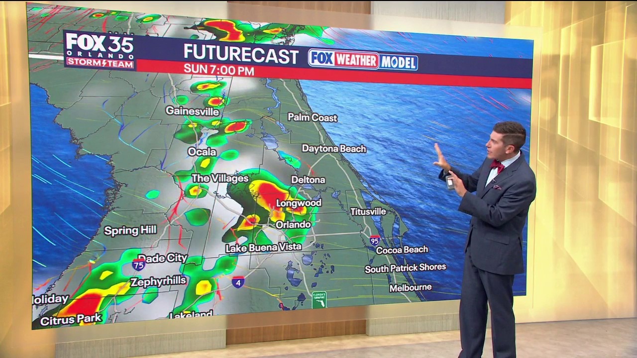
ORLANDO, Fla. – Rain chances, little by little, go back down toward seasonable norms Sunday into Monday. We’ll still hit or miss showers and storms during the afternoon and evenings with the help of the sea breezes, but overall, we’ll see less coverage.
That trend continues Monday into Tuesday with even lower rain chances. This is thanks to a ridge of high pressure build back in. With that, chances come down to around 20% on Monday, and that drier stretch continues through the rest of the workweek.
We’ll still have the potential for a few showers and storms with the sea breeze collision, but coverage will be much lower.
What to Expect:
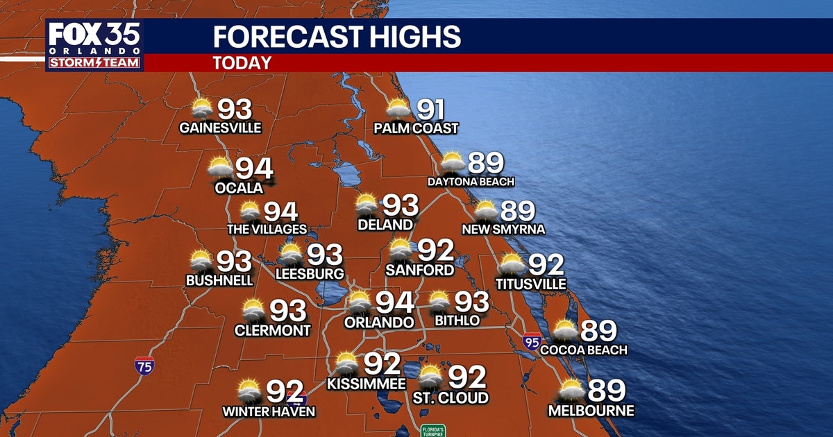
With this ridge of high pressure building, we’ll feel our temps coming back up. Our average for this time of year is 92, and we’ll likely be a few degrees above that. Highs jump from the lower 90s this weekend and early next week to the mid-90s Tuesday.
By late week, it’s looking like we’ll be able to rise into the upper 90s, but either way, the humidity will make it feel like the lower to mid-100s. We’ll likely be shy of the Heat Advisory criteria, but we’ll have the heat risk to contend with for the first few days back at school.
Tracking the tropics
There are two waves we’re watching in the tropics. A wave in the Eastern Atlantic now has a 20% chance of development over the next week. A wave coming off the coast of West Africa has a 40% chance of development over the next 7 days.
As we progress through mid to late week, data suggest at least the potential for a tropical depression or tropical storm with a tropical wave coming off the coast of West Africa.
This could become Tropical Storm Cristobal by later next week, but there is a lot of wind shear in the tropical Atlantic. This is thanks to the strong El Niño we’ve been seeing throughout the season thus far. That is making for lots of wind shear across the Basin. Shear and dry air, despite some development, should make for a weaker system overall, but it’s something we’ll be watching closely.
The Source: This story was written based on information provided by meteorologist T.J. Springer on August 9, 2026.