
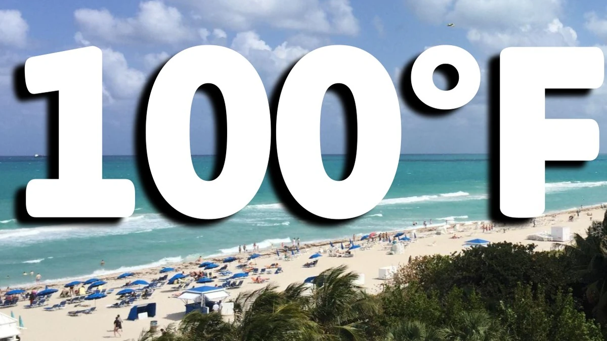
Miami’s maximum temperature broke the August 18 record of 35.6°C (96°F), set in 2022. The temperature was 5°C (9°F) above the 1991–2020 normal maximum of 32.8°C (91°F).
This was only the second time temperatures had reached 37.8°C (100°F) in Miami, with the first time being on July 21, 1942.
Fort Lauderdale reached 36.7°C (98°F) at 15:02 EDT (19:02 UTC), tying its August 18 daily record. The maximum was 4.4°C (8°F) above the normal high of 32.2°C (90°F), while the daily mean reached 32.2°C (90°F), 3.3°C (6°F) above normal.
Minimum temperatures were also above normal. Miami fell to 27.8°C (82°F), 2.2°C (4°F) above its normal minimum, while Fort Lauderdale recorded 27.2°C (81°F), 1.7°C (3°F) above normal.
Miami’s daily mean reached 32.8°C (91°F), 3.9°C (7°F) above normal. No measurable precipitation was recorded at Miami or Fort Lauderdale during the day.
Conditions were less anomalous at Naples on Florida’s Gulf coast, where a preliminary NWS report listed a maximum of 32.8°C (91°F), matching the normal high. The station’s daily mean at that point was 0.6°C (1°F) above normal.
NWS forecasters had identified the potential for record heat before the maximum was reached. Surface high pressure and upper-level ridging remained over the region, while westerly flow delayed the Atlantic sea breeze and reduced marine moderation along the southeast Florida metropolitan corridor.
A Heat Advisory covered South Florida from 11:00 to 19:00 EDT (15:00–23:00 UTC) on August 18. NWS forecast heat-index values of 40–44°C (105–112°F).
Officials advised residents to remain hydrated, take frequent breaks in shaded or air-conditioned areas, and check on people vulnerable to heat-related illness.
Heat remained the principal weather hazard on August 19. NWS Miami again forecast heat-index values of 40–44°C (105–112°F) and kept a Heat Advisory in effect across South Florida from 11:00 to 19:00 EDT (15:00–23:00 UTC).
Highs of 36°C (97°F) were forecast in Miami, 35.6°C (96°F) at West Palm Beach, and 35°C (95°F) at Fort Lauderdale.
NWS predicts Miami has approximately a 10% probability of reaching 37.8°C (100°F) again on August 19. Forecasters said the timing of the Atlantic sea breeze would be a determining factor as west-to-northwest flow persisted through at least the early afternoon.
Moisture was forecast to increase as the upper-level ridge weakened, supporting scattered thunderstorms late on August 19 and scattered to numerous thunderstorms on August 20. Earlier thunderstorm development was expected to limit temperatures on August 20, although heat-index values could still reach 40.6–43.3°C (105–110°F) before storms developed.
Above-normal temperatures were forecast through the weekend and into early the following week, with maximum heat indices remaining near advisory criteria. NWS expected a more typical summertime pattern of daily sea-breeze-driven showers and thunderstorms to return.
References:
1 Climatological Report for Miami, August 18, 2026 – NWS/Miami – August 19, 2026
2 Area Forecast Discussion – NWS/Miami – August 19, 2026