
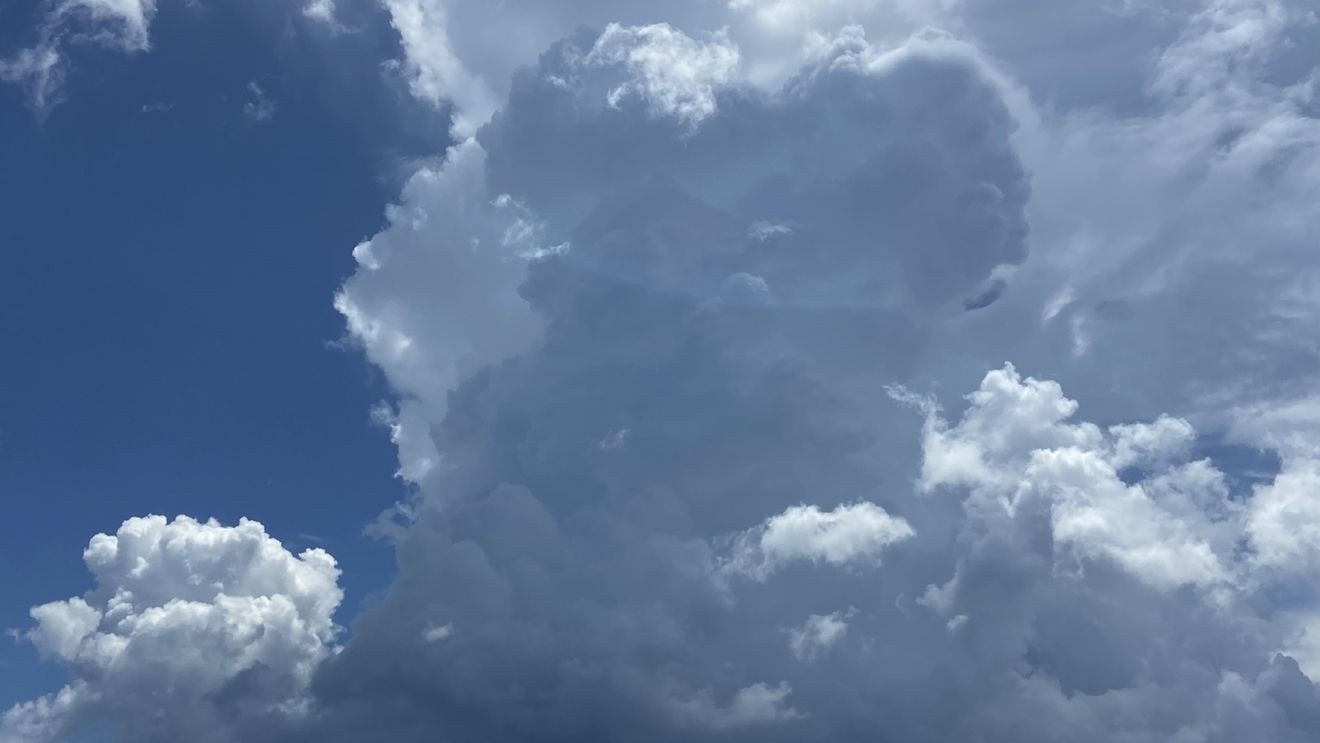
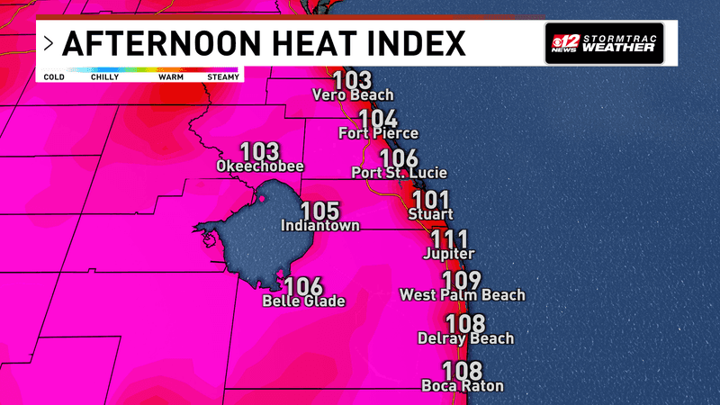
WEST PALM BEACH, Fla. (CBS12) — South Florida faces another hot and stormy afternoon today, with a few thunderstorms capable of producing near-severe wind gusts as heat index values climb as high as 110 degrees.
Strong storms and dangerous heat for South Florida heading into the weekend. (WPEC)
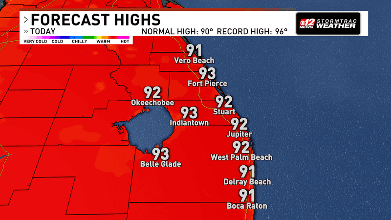
A Heat Advisory is in effect from 11 a.m. to 6 p.m. for Miami-Dade and Broward counties. Afternoon temperatures will reach the low to mid-90s, but high humidity will make it feel between 105 and 110 degrees across much of the region. A few locations could briefly feel even hotter.
Strong storms and dangerous heat for South Florida heading into the weekend. (WPEC)
While the Heat Advisory is limited to Miami-Dade and Broward, heat-related illness remains possible throughout South Florida. Anyone spending extended time outdoors should drink plenty of water, take frequent breaks in the shade or air conditioning and limit strenuous activity during the hottest part of the afternoon.
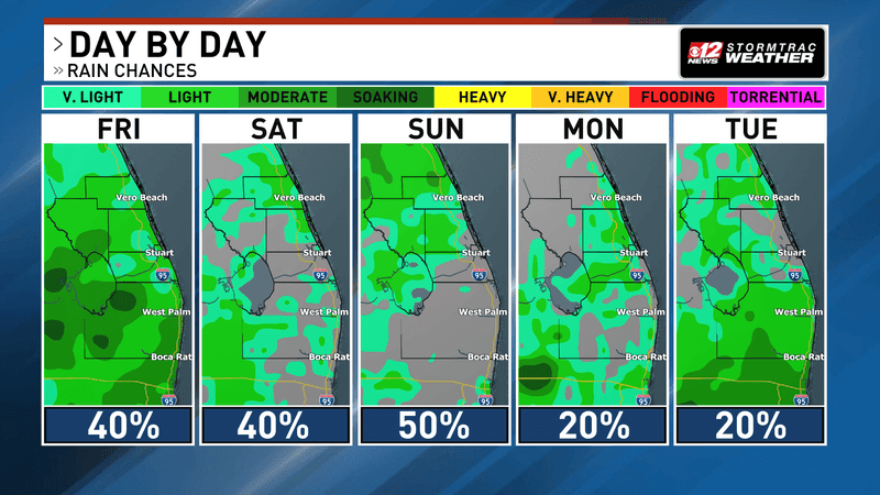
Attention then turns to thunderstorms developing after midday. A south to southwest wind will keep the Atlantic sea breeze closer to the coast, helping focus the greatest storm coverage across interior and Southeast Florida. Rain chances range from 50% to 70% across Southeast Florida, with somewhat lower coverage expected across Southwest Florida.
Strong storms and dangerous heat for South Florida heading into the weekend. (WPEC)
A few storms could become particularly strong. The atmosphere will contain plenty of energy for thunderstorm development, and dry pockets of air could help stronger storms produce powerful bursts of wind. An isolated severe storm cannot be ruled out, with damaging wind gusts the primary concern.
Torrential rainfall and frequent lightning will accompany the strongest storms. Heavy downpours could also produce localized flooding, particularly in urban and poor-drainage areas.
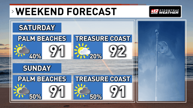
Strong storms and dangerous heat for South Florida heading into the weekend. (WPEC)
A similar pattern continues Saturday, with scattered to numerous afternoon thunderstorms once again favoring interior and Southeast Florida while temperatures remain in the low to mid-90s.