
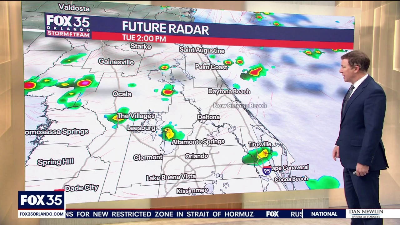
ORLANDO, Fla. – High moisture levels and a nearby weak front will help to keep scattered heavy rain and storms in the forecast through most of this week.
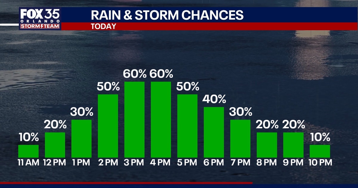
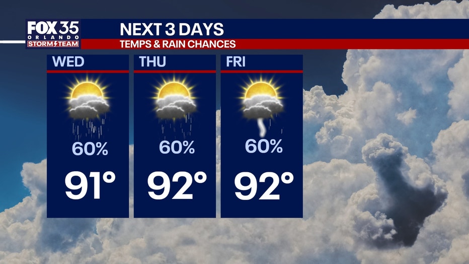
The highest chances will be during the afternoon hours and will peak at around 60%.
For today specifically, a few isolated and brief coastal downpours will be possible through the morning.
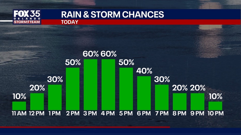
By midday, we’ll begin to see clusters developing and moving inland, followed by heavy rain and storms peaking between 2 p.m. to 8 p.m.
Frequent lightning, pockets of gusty winds, and torrential rainfall that could lead to minor flooding are possible.
More typical high temps
Showers and storms will help to keep clouds around and will help keep a lid on our afternoon temperatures.
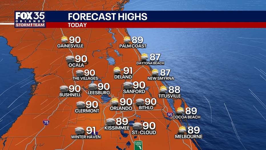
Plan for highs to be near-normal, reaching the upper 80s at the beaches and low 90s inland today and most of this week.
How hot will it get?:
 Quiet Atlantic at peak of hurricane season
Despite approaching the historical peak of hurricane season, the Atlantic basin remains remarkably quiet.
Strong wind shear and pockets of dry air continue to prevent tropical disturbances from organizing.
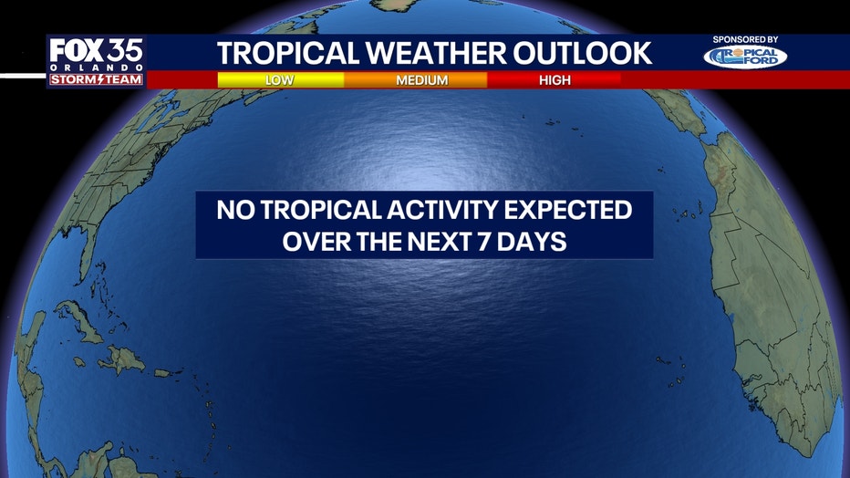
The National Hurricane Center expects no tropical cyclone development across the Atlantic, Caribbean, or Gulf over the next 7 days.
The Source: The information in this story was provided by the FOX 35 Storm Team.