
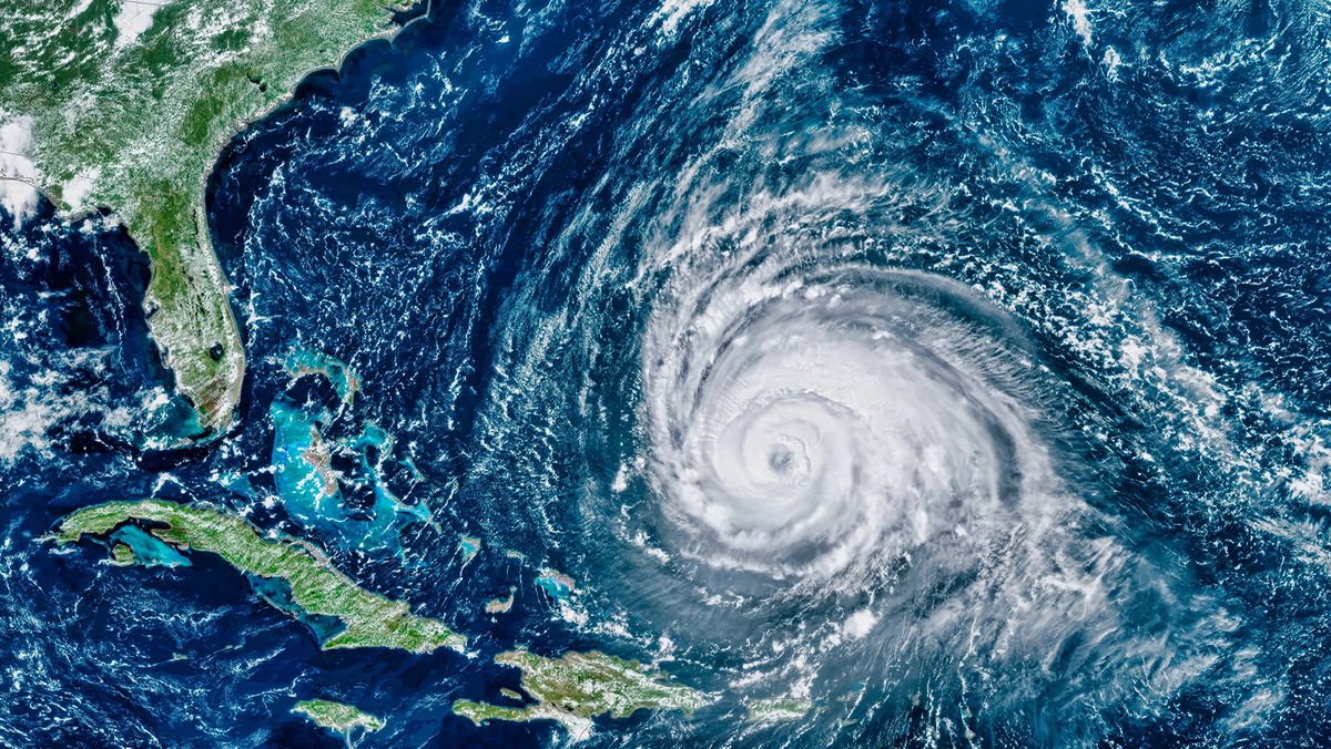
Hurricane Irma became an extraordinarily powerful Category 5 hurricane over the Atlantic and Caribbean before approaching Florida during the 2017 hurricane season. After passing near Cuba, it turned toward the Florida Keys.
Irma made its first Florida landfall at Cudjoe Key as a Category 4 hurricane with maximum sustained winds of about 130 mph (209 km/h). It later made another landfall near Marco Island.
Its enormous circulation meant tropical storm force winds covered much of the Florida Peninsula. Hurricane force winds, heavy rains and storm surge produced widespread damage, while extensive power outages affected millions of customers.
Florida attributed 84 deaths to Irma, including direct and indirect fatalities. The hurricane also caused significant damage to homes, infrastructure, vegetation and coastal environments.
Irma demonstrates a crucial point about hurricane safety: Peak wind speed doesn’t tell the whole story. The size of a storm, its path, forward speed, rainfall and storm surge all help determine how much damage it causes.
The same principle explains why there isn’t one simple answer to which storm was Florida’s worst. The Okeechobee Hurricane was the deadliest in the state. The Labor Day Hurricane was the most intense at U.S. landfall by central pressure. Andrew transformed building practices, while Ian set Florida’s damage record.
All of them also demonstrate why meteorologists monitor a disturbed area from the moment it develops from a tropical wave or tropical depression. A seemingly distant patch of disturbed weather can eventually become a tropical storm, reach hurricane status and develop into a major hurricane capable of reshaping entire communities.
We created this article in conjunction with AI technology, then made sure it was fact-checked and edited by a HowStuffWorks editor.