
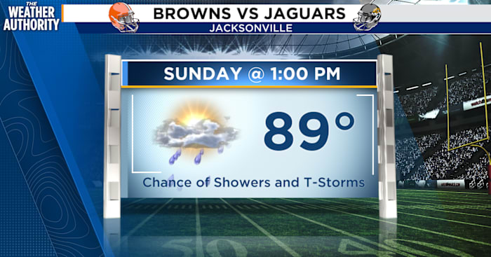
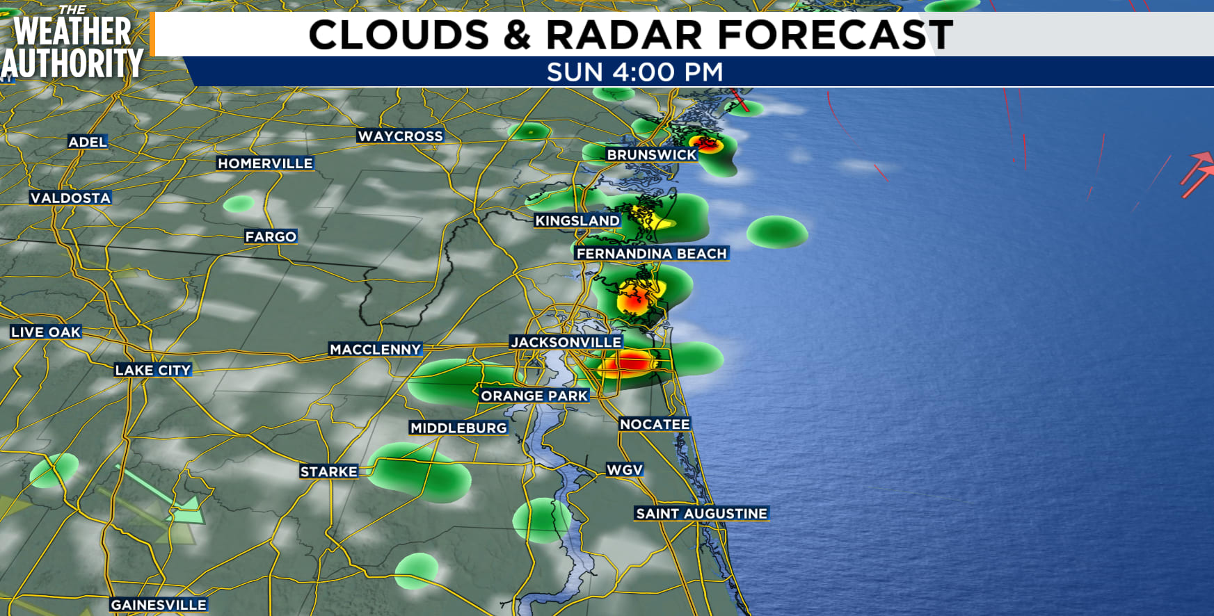
JACKSONVILLE, Fla. – Thunderstorms are expected to fire up inland this morning and push east through the afternoon. The stretch closest to I-95 faces the best chance of getting hit with a strong storm, thanks to sea breeze interactions.
Biggest hazards today after 3 p.m.:
Wind gusts of 40 to 50 mph
Frequent lightning strikes
Heavy downpours
Scattered storms are expected to linger into the evening, roughly between 8 p.m. and midnight, before weakening and dying off.
 Sunday stormsThe relentless heat
Temperatures are running 2 to 4 degrees above normal for this time of year, and when you factor in the humidity, it feels significantly worse.
Heat index values — what it actually feels like outside — are expected to peak between 102°F and 105°F today, and that dangerous stretch continues through Monday.
If you need to be outside, try to limit strenuous activity during the hottest part of the day, stay hydrated, and check on neighbors, the elderly, and anyone who doesn’t have access to air conditioning.
Tonight’s lows will only drop into the lower to mid-70s, offering little overnight relief.
Last full week of summer!
Monday: The heat continues with heat index values still in the 102 to 105°F range. Storm coverage shifts south of the Interstate 10 corridor by afternoon and evening.
Tuesday: A change arrives at the coast. Breezy and cooler conditions are expected at coastal locations, along with numerous showers and the possibility of embedded thunderstorms.
Tuesday through Thursday: Small Craft Advisory conditions are expected across local Atlantic waters. If you’re planning a boating trip, keep a close eye on marine forecasts before heading out.
Beaches: A High Risk of Rip Currents is likely at area beaches Tuesday through Thursday.
Copyright 2026 by WJXT News4JAX – All rights reserved.