
As most Floridians were enjoying a balmy weekend heading into Sunday evening, weather and utility officials were posting warnings and watches about the coldest drop in temperatures about to envelop the state this fall.
Highs in the 80s were about to turn to lows in the 30s for many areas of Florida and even lower when it comes to wind chill factors in the ensuing week, especially for North Florida. The National Weather Service (NWS) office at the Jacksonville International Airport is warning residents to brace for the strongest cold spell of the fall thus far and there could be some damage.
A strong cold front plowing through the state Sunday afternoon was posing “strong to severe thunderstorms” for areas along the Interstate 10 corridor from the First Coast to the Panhandle.
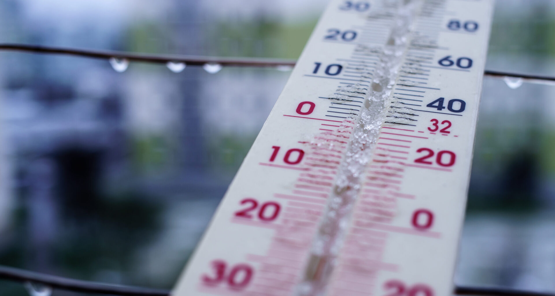
And then Monday will be a real change in temperatures and by Monday night, the significant cold blast will be hitting Florida. Monday night will bring temperatures that will dip into the lower 30s into the upper 20s and wind chill “feels like” temperatures will plummet to as low as 20 degrees in areas well into the interior of the state from Gainesville as a freeze watch is being posted well into the Gulf Coast.
“A freeze watch is in effect Monday night through Tuesday morning for all of Southeast Georgia and inland Northeast Florida in anticipation of colder weather, where temperatures are expected to drop to below freezing,” an NWS advisory said.

Tuesday morning is the time when the wind chills may drop to the lower 20s for areas from Jacksonville to Lake City due to strong northwesterly winds expected to howl as the front finishes marching through Florida.
JEA, Jacksonville’s public utility authority, is already advising customers to brace for the deep freeze by adjusting residential thermostats. JEA sent out an email message Sunday telling residents to bring down their settings in their homes.
— Set your thermostat to 68 degrees. Set it even lower at night and when you’re not at home. Every degree above 68 will raise the heating portion of your utility bill by about five percent.
— Avoid raising your thermostat more than one degree at a time to prevent heat strips from being activated, which use more energy and increase your utility costs.
— Space heaters use less electricity than your heat pump, however only if you turn down the thermostat and only have the space heater on when you are in the room. Be sure to follow safety precautions if using a space heater.

While the cold snap will bring deep temperature drops, a return to more normal temperatures will come Wednesday with a forecast high of 68 degrees and 76 degrees on Thursday.