
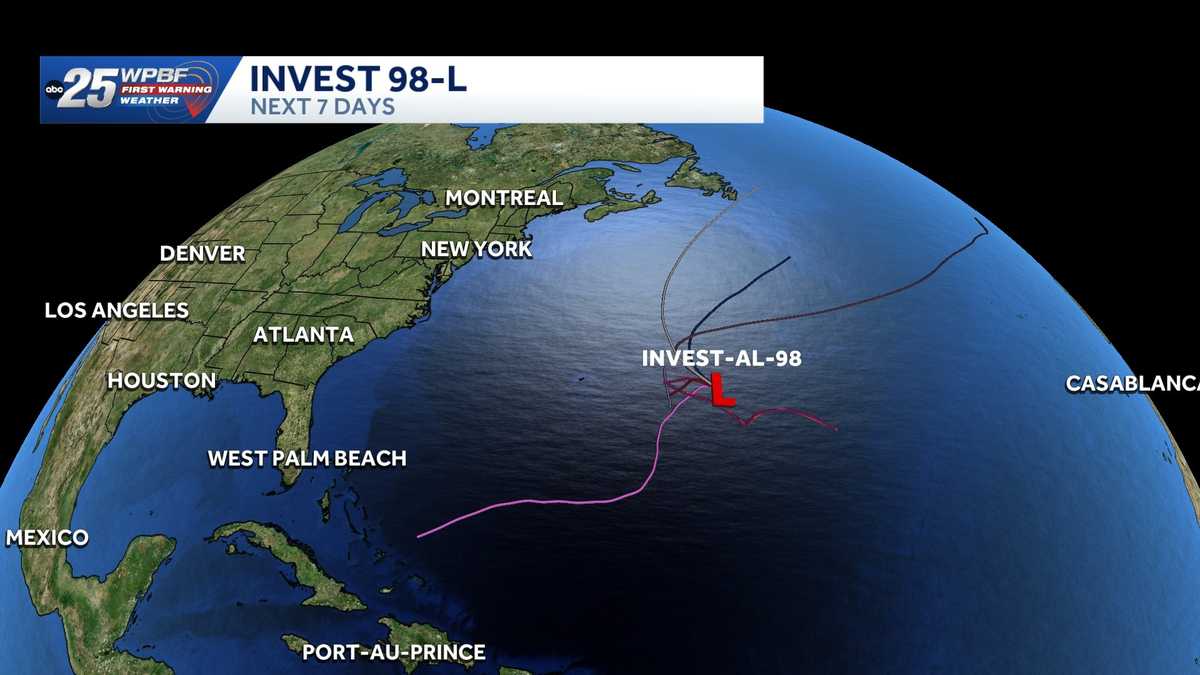
Tropical Invest 98-L shows no threat to Florida, forecast tracks remain over open Atlantic
Invest 98L is being monitored in the Atlantic, but forecast models keep the system over open waters and away from the Sunshine State

Invest 98L continues to be monitored in the Atlantic, but current forecast models keep the system well away from Florida. Spaghetti plots show the disturbance staying over the open Atlantic and likely turning north before reaching the U.S. East Coast.
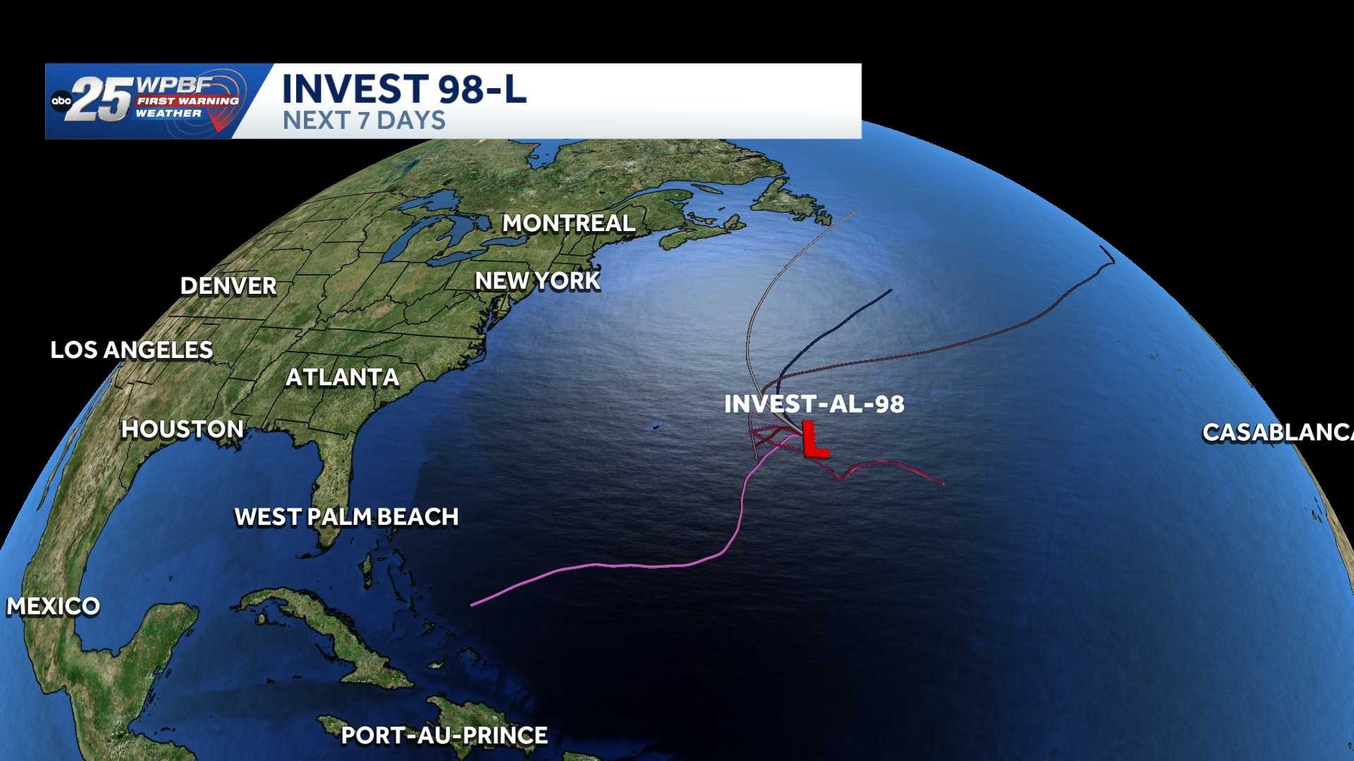
WPBF First Warning Weather will continue tracking Invest 98L, but no impacts are expected in Florida at this time.
In the 8 p.m. EDT update Wednesday, the NHC said “the small area of low pressure located several hundred miles east of Bermuda has a low chance of development over the next couple of days while the system moves slowly westward, and then possibly southward over the subtropical Atlantic.”
Environmental conditions are marginal in the area with some additional development possible over the next few days while the system moves slowly westward, and then possibly southward over the subtropical Atlantic, according to the NHC.
The formation chance through 48 hours is 20% and through seven days is 30%.
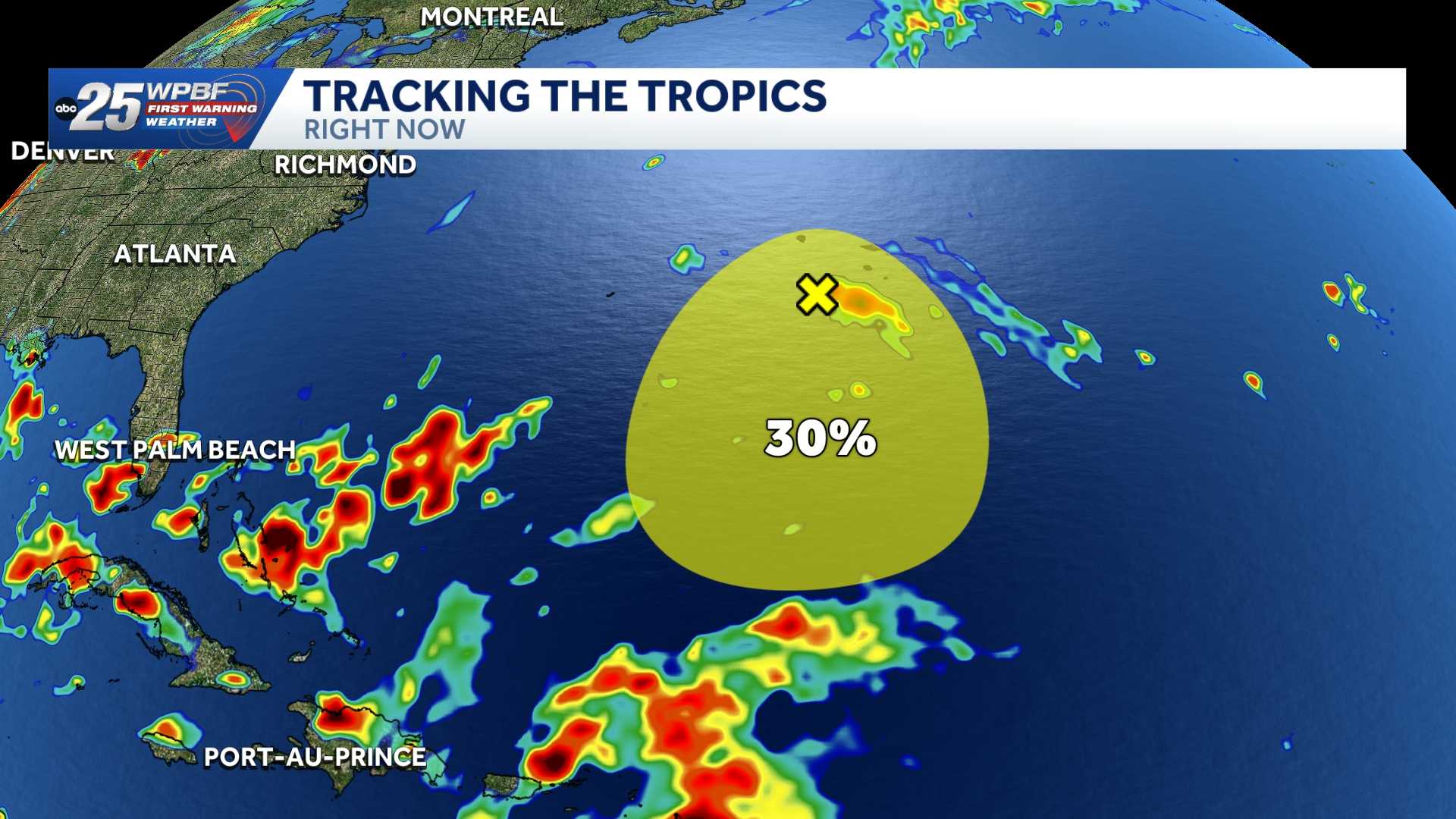 Tracking the Tropics
Stay with WPBF 25 on-air and online for updates.
Download the WPBF 25 News app for the most up-to-date weather alerts.