
TALLAHASSEE, Fla. (WCTV) – We had our first push of fall, sort of, this morning with some lower humidity across the Southeast. The muggy meter will remain comfortable through tomorrow.
Comfy overnight
Expect morning lows in the upper 60s and low 70s across the area, the coolest start to a day since late June. Still hot in the afternoon with highs getting into the low 90s again on Friday.
Friday and the weekend
Great weather for any outdoor plans you have for Friday. Matter of fact, it looks like the best weather areawidre that we have seen for Football Friday Night so far this season. Temperatures in the 80s and lower humidity will make it feel very comfortable and we will not be dodging rain or thunderstorms, either.
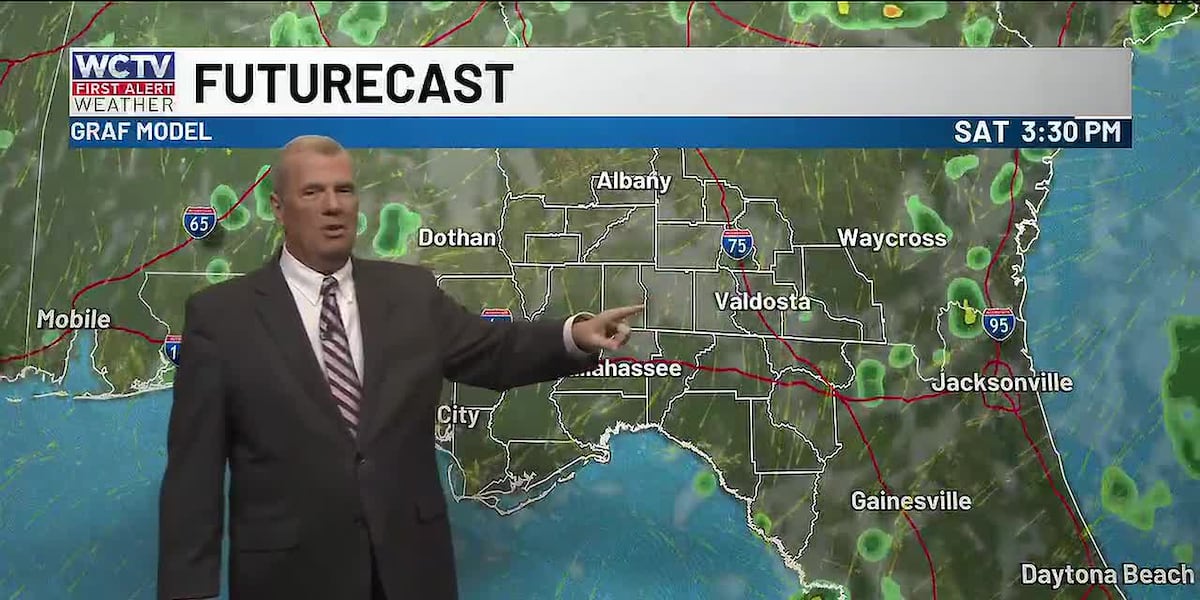
The weekend starts great with sunny skies and plenty of warmth through the end of the day. Another great afternoon to enjoy the outdoors or get yardwork done. A few showers will develop in the afternoon, but should stay mainly south of I-10.
Muggy returns…
Sunday into early next week is looking a little better for rain coverage as tropical moisture moves into the region. Tropical moisture moves in from the Atlantic and will bring a more humid and summer-like weather pattern with hit-or-miss to scattered thunderstorms through mid-week. Temperatures in the upper-80s.
To stay updated on all the latest forecasts and weather, follow WCTV First Alert Weather on Facebook and X (Twitter).
Click here to see all the latest weather headlines and here to view the First Alert Radar. Receive push alerts and watch the latest forecast anytime on the free WCTV First Alert Weather app. Click here to download it now.
Interested in becoming a WCTV First Alert Weather Watcher? Click here to join the team!
Copyright 2026 WCTV. All rights reserved.