
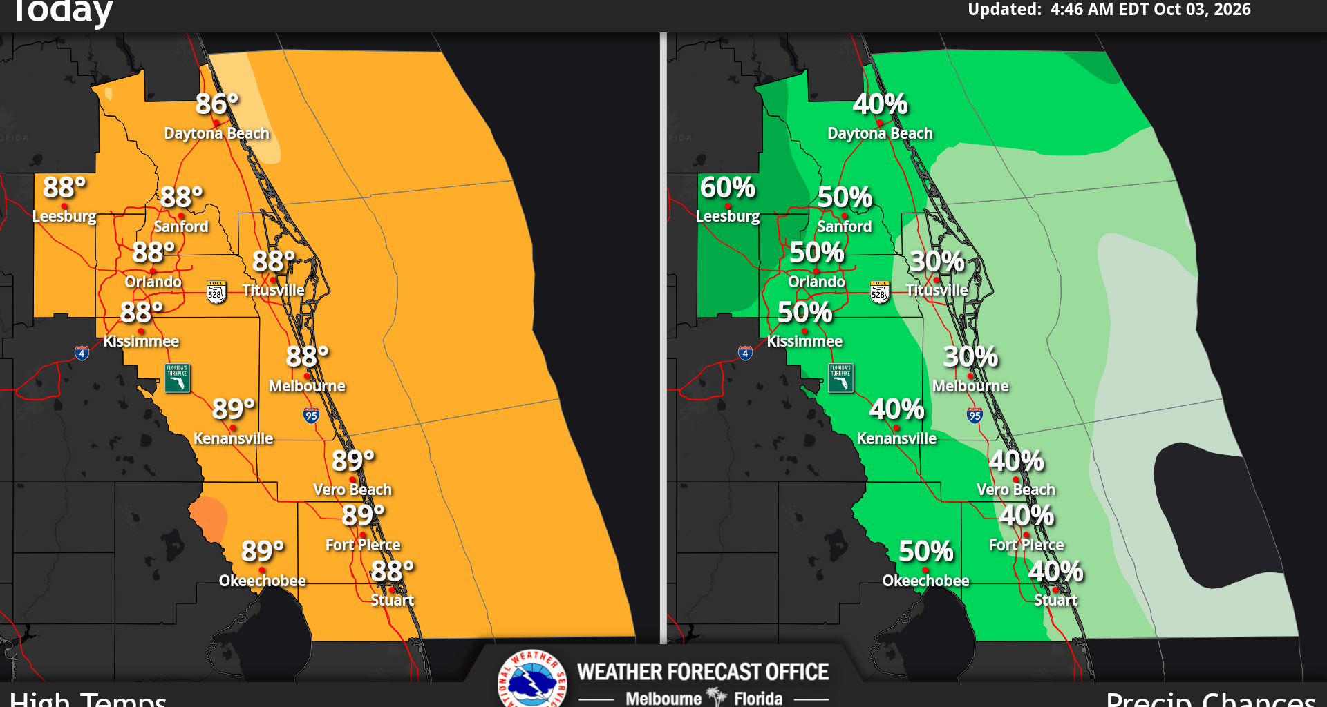
East Central Florida is expected to have frequent showers and thunderstorms throughout the weekend and into next week, according to the National Weather Service in Melbourne.
Today through Sunday, the greatest chance for rain and storms will generally be between 2-8 p.m. with some storms producing frequent lightning, wind gusts of 35 to 45 mph and very heavy rainfall.
The beach and ocean conditions are dangerous since there is a high risk for rip currents throughout the weekend.
Heat and humidity will remain significant throughout the weekend. Afternoon temperatures are expected to reach the mid 80s to around 90 degrees, while heat index values could reach 98 to 105 degrees.
Monday marks an increase in rainfall and storm coverage. Rain chances are expected to reach 60% to 80%, with scattered to widespread showers and thunderstorms during the afternoon and evening.
Heavy rain, lightning and gusty winds remain the primary storm hazards. Northern portions of east Central Florida are also at risk for excessive rainfall, meaning localized flooding could become a concern.
The biggest concern is Tuesday through Friday, when a front could keep east Central Florida unusually wet. Rain chances may reach 80% to 90% Tuesday and Wednesday.
The main threat is expected to be flooding, although lightning and thunderstorms will continue.