
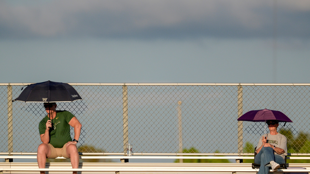
Fans hold umbrellas during a high school football game between Casady and Greenhill at Casady in Oklahoma City on Thursday, Sept. 10, 2026.
NATHAN J. FISH/THE OKLAHOMAN
USA TODAY Network, Reuters
Tallahassee and much of the Florida Big Bend could see several inches of rain through early next week as forecasters warn of repeated rounds of tropical downpours capable of causing localized flooding, with the possibility that flood watches may be expanded eastward toward Leon County.
The National Weather Service in Tallahassee says an exceptionally moisture-rich air mass has settled over North Florida, setting the stage for periods of heavy rain Saturday through at least Tuesday.
While the current Flood Watch is limited to portions of the western Florida Panhandle, meteorologists said an expansion of the watch remains “very much on the table” for much of the region, including areas around Tallahassee, depending on how rainfall develops Sunday and Monday.
Heavy rain could overwhelm streets, low-lying areas
Forecasters expect widespread rainfall totals of 3 to 5 inches across Florida counties in the weather service’s coverage area through the weekend, with locally higher amounts possible.
The biggest concern is not necessarily river flooding but intense rainfall rates.
“The showers will be extremely efficient rain-makers,” the weather service said in it’s morning discussion, noting some locations could pick up 1 to 2 inches of rain in less than an hour.
Meteorologists warn that precipitable water values, a measure of atmospheric moisture, are near record levels for early October. That could produce rainfall rates of 2 to 3 inches per hour during the heaviest downpours.
For Tallahassee, that raises the risk of nuisance flooding on roadways, in poor-drainage neighborhoods, low-lying areas and urban locations where water can quickly accumulate.
Residents are urged to use caution while driving during heavy rain and never attempt to drive through flooded roads.
Sunday may bring highest threat locally
An upper-level disturbance is expected to move along the northern Gulf Coast late Saturday into Sunday, helping enhance rainfall coverage and intensity across the region.
Forecasters say most of the Tallahassee area could receive 2 to 5 inches of rain between Sunday and Monday, though isolated locations could see significantly higher totals where bands of heavy rain repeatedly move across the same communities.
The weather service’s excessive rainfall outlook places portions of the region under a “slight risk” for excessive rainfall, meaning scattered flash flooding is possible.
Brief tornado risk can’t be ruled out
In addition to flooding concerns, forecasters are monitoring the potential for a brief tornado or two on Sunday.
The risk remains relatively low and is far less concerning than the flooding threat, but the combination of deep tropical moisture and changing winds with height could create conditions favorable for isolated tornado development.
Meteorologists emphasized that a tornado is far from guaranteed but said the setup bears watching as the weather pattern evolves.
Wet pattern may linger into Tuesday
The soggy forecast is expected to continue into the start of the workweek.
Forecasters remain uncertain whether Monday or Tuesday will be the wettest day, depending on the timing of an approaching upper-level trough and a slow-moving front.
Additional flooding concerns could develop if repeated rounds of rain continue over the same areas.
By the middle and latter part of next week, the front is expected to push farther south into the Gulf, gradually reducing rain chances across the Tallahassee area and allowing temperatures to cool.
High temperatures are expected to stay below normal for much of next week, generally ranging from the upper 70s to lower 80s. Overnight lows could fall into the 50s across some inland counties by late week.
What Tallahassee residents should know
Expect off-and-on downpours through at least Tuesday.Rainfall totals of 2 to 5 inches are possible across the Tallahassee area, with isolated higher amounts.Localized flooding of streets, parking lots and low-lying areas is possible.A Flood Watch could be expanded eastward in coming forecasts.An isolated, brief tornado cannot be ruled out Sunday.Never drive through flooded roadways. As the weather service reminds residents: “Turn around, don’t drown.”
Portions of this weather report was generated automatically using information from the National Weather Service and a story written and reviewed by an editor.
This article originally appeared on Tallahassee Democrat: Why Tallahassee, north Florida may see waves of soaking rain, flooding
Reporting by Staff reports, Tallahassee Democrat / Tallahassee Democrat
USA TODAY Network via Reuters Connect
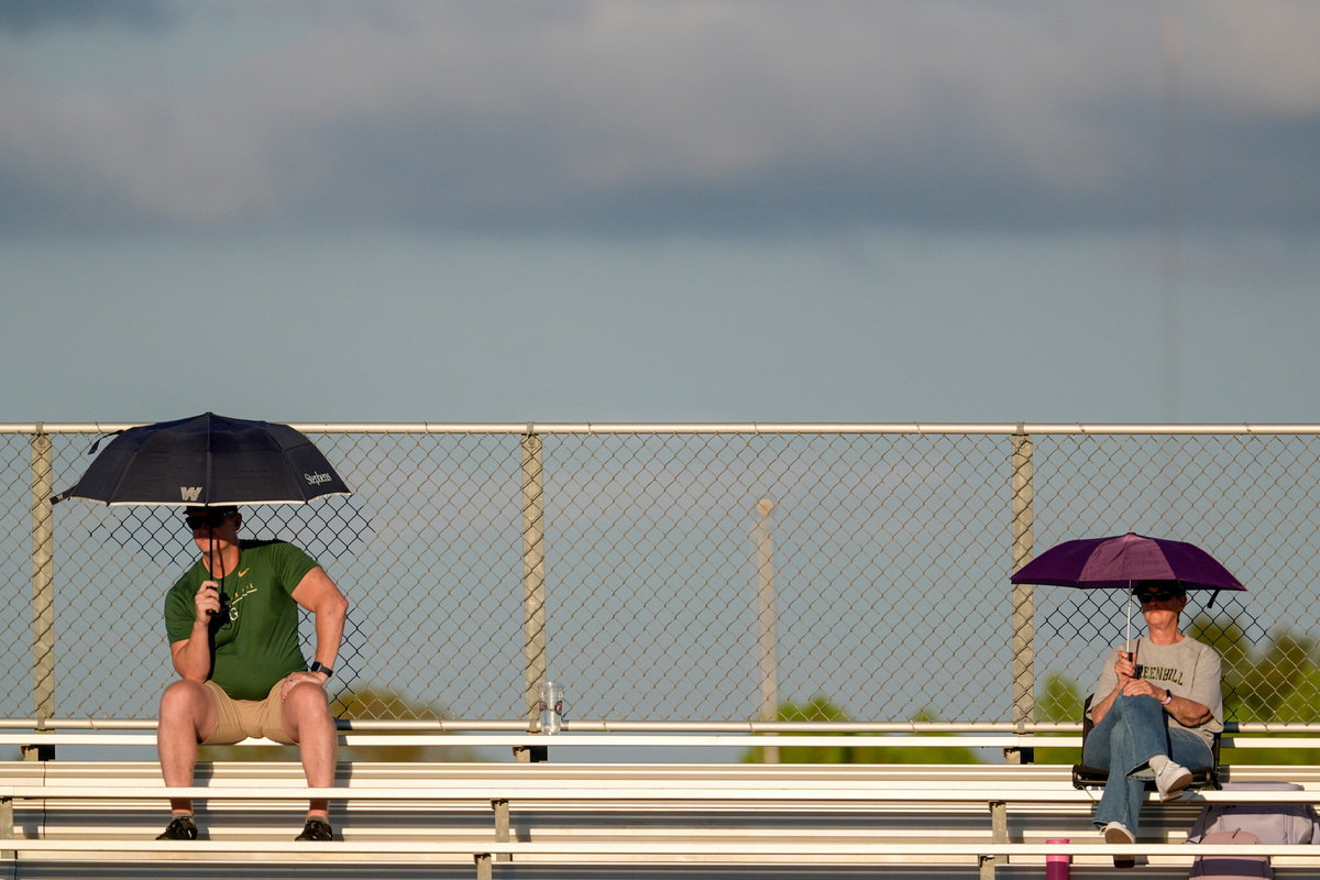 Fans hold umbrellas during a high school football game between Casady and Greenhill at Casady in Oklahoma City on Thursday, Sept. 10, 2026. NATHAN J. FISH/THE OKLAHOMAN USA TODAY Network, Reuters
Copyright Reuters or USA Today Network via Reuters Connect
This story was originally published October 3, 2026 at 10:26 AM.