
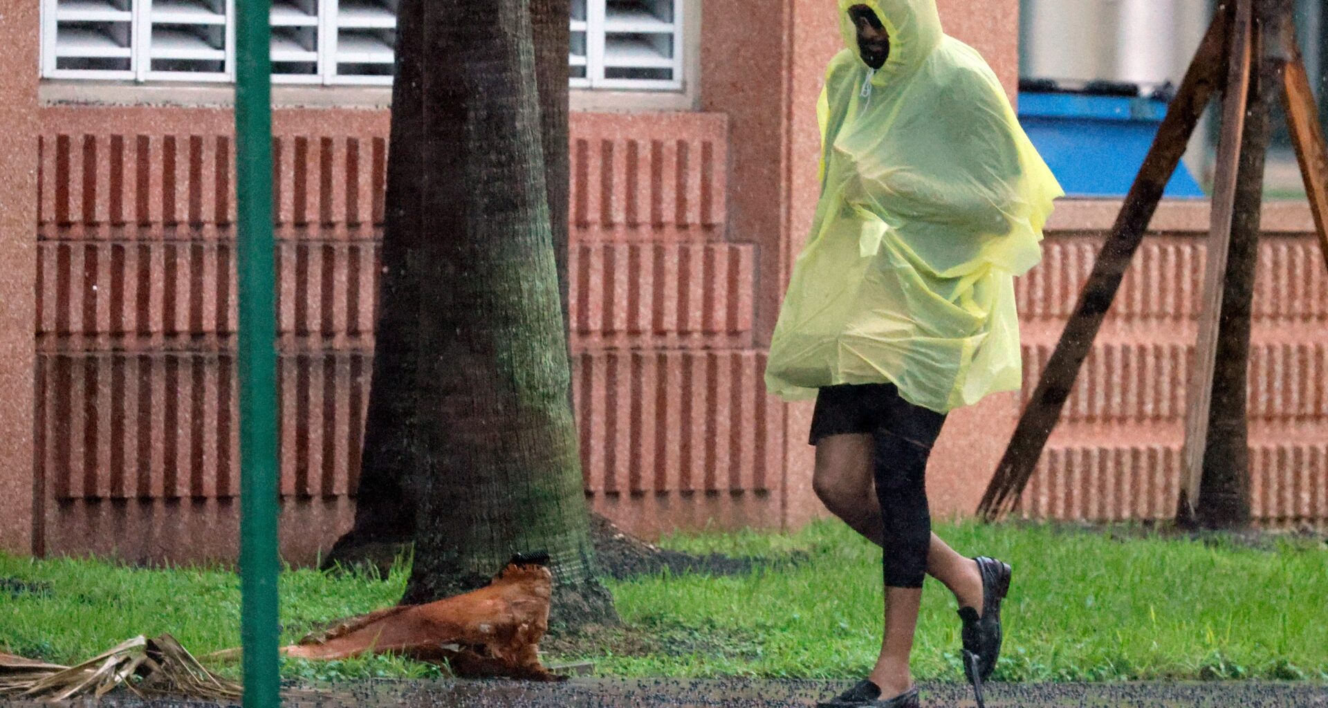
The first full week of October in South Florida will see storms and hot weather as the region’s rainy season winds down.
A frontal boundary, or a “separation of air masses,” is making its way over Florida, which will increase rain chances from Tuesday through Friday, according to Will Redman, a meteorologist with the National Weather Service in Miami.
Palm Beach County and possibly portions of Broward County are most likely to see rain on Tuesday, but chances for showers become more widespread on Wednesday, Redman said.
“As the front moves south and stalls, and then we just get this pool of moisture over us,” he said.
Chances of rain will be between 70% and 90%, Redman said. Storms are most likely to strike in the midday, past 1 p.m., and into the evening.
Because rain chances are less likely on Monday and Tuesday, high temperatures will be in the upper 80s to low 90s, Redman said. But later in the week, the high temperatures “are probably not going to surpass the mid- to upper 80s just because of all the rain and clouds across the area.”
Low temperatures are likely to hover around the mid- to upper 70s.
Redman said as the wintertime approaches, more fronts are likely to push through South Florida, which spurs a “lengthy dry period.”
But for now, the rainy season has yet to conclude.
Here’s the five-day forecast for Broward and Palm Beach counties, summarized by AI based on information from the National Weather Service. All text is reviewed and edited by our journalists.
Tuesday: Forecasts call for a 10% chance of showers and thunderstorms after 5 p.m. in Broward, while Palm Beach can expect a 40% chance of showers and thunderstorms after 2 p.m. Highs will be around 88 degrees. Expect southeast winds of about 6 mph.
Tuesday night: Overnight lows will drop to around 75 degrees.
Wednesday: Forecasts call for a slight chance of showers in the morning through 2 p.m., then showers and possibly a thunderstorm after 2 p.m. in Broward, while Palm Beach can expect a chance of showers in the morning through 2 p.m., then showers and possibly a thunderstorm after 2 p.m. Highs will be around 87 degrees. Expect southwest winds of about 5 mph.
Wednesday night: Overnight lows will drop to around 74 degrees.
Thursday: Expect a chance of showers and thunderstorms, then showers and possibly a thunderstorm after 2 p.m. across the region. Highs will be around 86 degrees. Expect south winds of about 6 mph.
Thursday night: Overnight lows will drop to around 75 degrees.
Friday: Forecasts call for a slight chance of showers and thunderstorms between 8 a.m. and 2 p.m., then showers likely and possibly a thunderstorm after 2 p.m. in Broward, while Palm Beach can expect a chance of showers and thunderstorms, then showers likely and possibly a thunderstorm after 2 p.m. Highs will be around 88 degrees. Expect southeast winds of about 6 mph.
Friday night: Overnight lows will drop to around 76 degrees.
Saturday: Forecasts call for a 50% chance of showers and thunderstorms in Broward, while Palm Beach can expect showers and thunderstorms likely. Highs will be around 88 degrees.
Saturday night: Overnight lows will drop to around 77 degrees.