
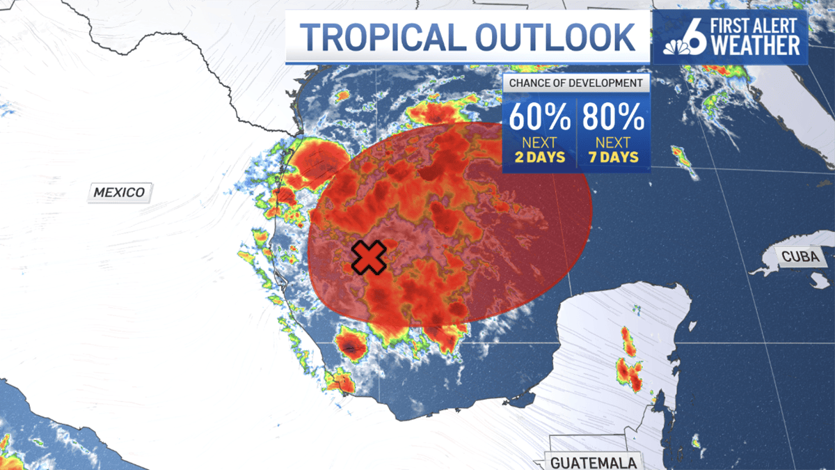
A tropical depression is expected to develop in the Gulf over the next few days, setting the stage for what could be the ninth named storm of the 2026 Atlantic hurricane season.
As of Monday afternoon, the National Hurricane Center in Miami has placed an 80% chance for development this week.
Once developed, the system is expected to drift eastward before it turns northward, the NHC said.
Should it organize and become a named tropical system, it would be “Isaias.”
Current model forecasts are too varied to be definitive, but the presence of an area of low pressure and a frontal boundary draped across the Gulf over the next few days could be the catalyst for appreciable rainfall from the Texas coastline to the Florida panhandle.
EPS on 92L tells the tale of meandering genesis, spread in possibilities. https://t.co/tfu4jwRBqG
— Ryan Phillips – NBC6 (@RyanNBC6) October 5, 2026
The timing and location for tropical development match well with the long-term climatology for October storm formation.
The Gulf waters, still holding onto warm sea surface temperatures, are on the verge of being impacted by autumn fronts. These fronts will usually signal the end of the tropical season for the northern Gulf, as cooler waters are generally churned up and mid-latitude winds prove inhospitable for storm formation. The preferred genesis areas then shift into the Northwest Caribbean to close out the season.
The 2026 Atlantic season has proven to an anomaly due to a “strong to very strong” El Niño in the equatorial Pacific.
The excessive wind shear being produced across the basin is one of a few factors leading to weak, short-lived storms this summer and fall.
While forecast to be a below-average season, the lack of hurricane formation is noteworthy.
This is the latest in the season without a hurricane developing in the satellite era.
However, it is still too soon to tell what the season, which lasts through November 30th, will be able to produce.