
We are tracking a cloudy, breezy and unsettled pattern heading into the end of the week as tropical moisture increases ahead of Isaias in the Gulf.
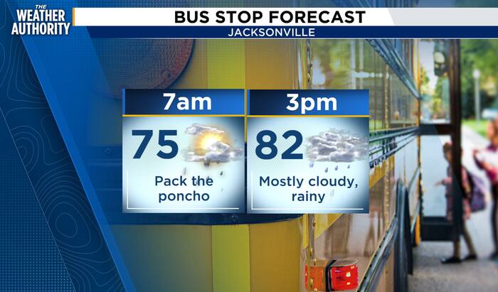
For today, expect mostly cloudy skies with scattered showers developing through the morning, then a better chance for showers and a few storms after 2 p.m. Highs will be near 83 with northeast winds around 8 to 14 mph and gusts near 20 mph. Rainfall amounts should generally stay light, but any thunderstorms could put down locally higher totals.
Rain chances increase Friday into Saturday. Friday looks breezy with showers and storms likely, especially early in the day, with northeast winds gusting up to 30 mph. By Friday night and Saturday, rain becomes more widespread with periods of heavy downpours possible. Saturday carries the highest rain chance at around 90%, with showers and storms likely through the day.
The latest National Hurricane Center key messages show Isaias expected to strengthen as it approaches the northern Gulf Coast on Friday. The greatest impacts will stay west of us, but deep tropical moisture will spread across much of the Southeast, bringing heavy rain, gusty winds, and the potential for localized flooding.
For Jacksonville and northeast Florida, this is not a direct hit scenario, but it is an impacts forecast: breezy to gusty winds, higher rain coverage, rough surf, a higher rip current risk, and pockets of heavy rain through the weekend.
Rain chances linger Sunday, especially during the afternoon, before we finally dry out early next week. Monday through Wednesday look much quieter with mostly sunny skies, lower humidity, and highs in the mid to upper 80s.
Copyright 2026 by WJXT News4JAX – All rights reserved.