
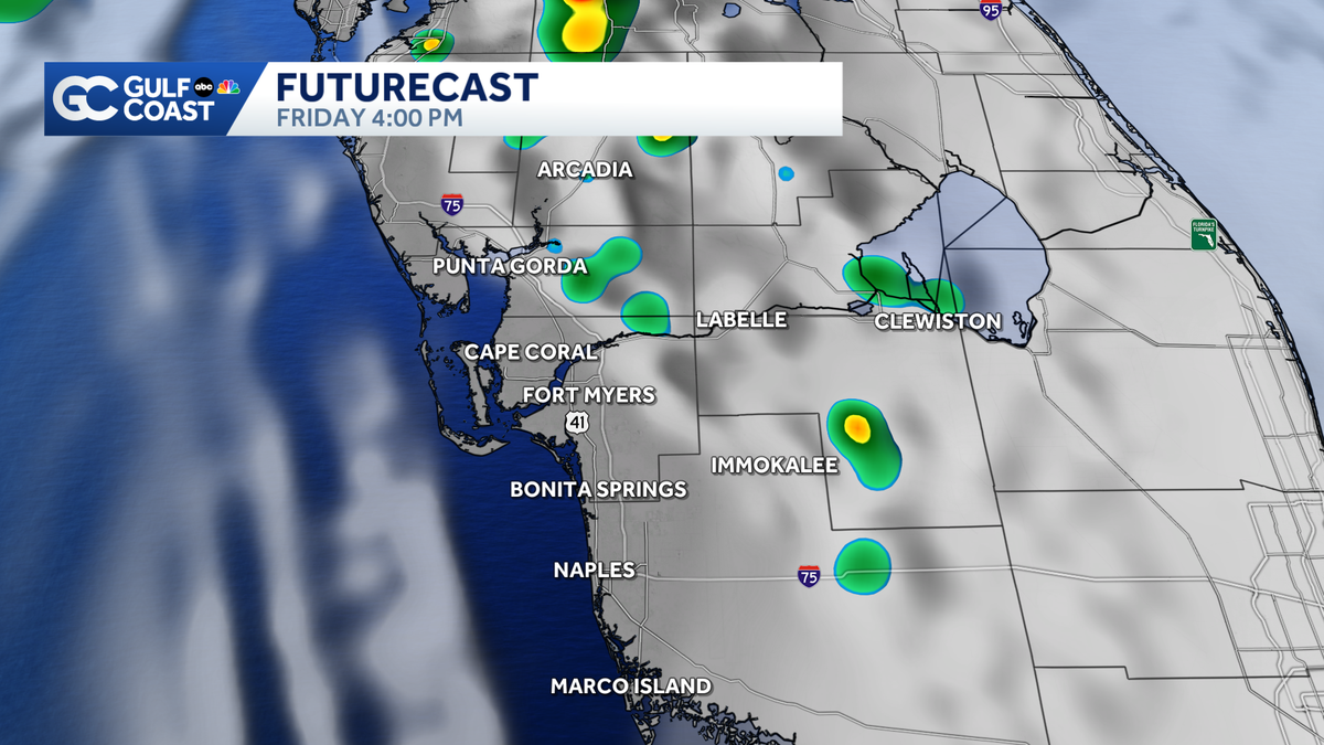
While Isaias poses no direct threat to Southwest Florida, expect trailing downpours and rough surf this weekend.
 FORT MYERS, Fla. —
Scattered downpours are expected along the Gulf Coast Friday afternoon and evening.
Hurricane Isaias is making its closest pass to Southwest Florida today, though the center of the storm is still roughly 410 miles west of Cape Coral.
While we won’t see any direct threat, Isaias will increase the threat for rip currents along the Lee and Charlotte County beaches. Expect rough surf Saturday, though calmer conditions return on Sunday.
As Isaias pulls north this weekend, trailing moisture will filter through our region. Expect hit or miss downpours to track north Saturday with slightly lower rain coverage on Sunday.
A significantly drier weather pattern returns next week. Rain chances pull back by the middle of the week with slightly cooler conditions. Highs will return to the upper 80s with mornings in the low 70s.
For the latest on Hurricane Isaias, click here.
However you watch or scroll, we’re committed to delivering your Gulf Coast Weather Most Accurate Forecast, one you can rely on every day, wherever you are.
Live Interactive Radar: Track conditions in real time with the Gulf Coast Live Radar.
Watch Gulf Coast Weather: Find the latest weather forecast videos, streaming live or on demand, on TV and online.
Stream on the Go: Download the free Gulf Coast News app to watch on your phone or tablet.
Your Gulf Coast Weather Team
Follow on Social: Follow, like and subscribe to Gulf Coast News on social media to share your tips and be part of the conversation with Southwest Florida’s most experienced, trusted weather team: Facebook | Instagram | YouTube | TikTok | Threads | Bluesky | Nextdoor | X
DOWNLOAD the free Gulf Coast News app for your latest breaking news and weather alerts. And check out the Very Local Gulf Coast app to stream news, entertainment and original programming on your TV.