
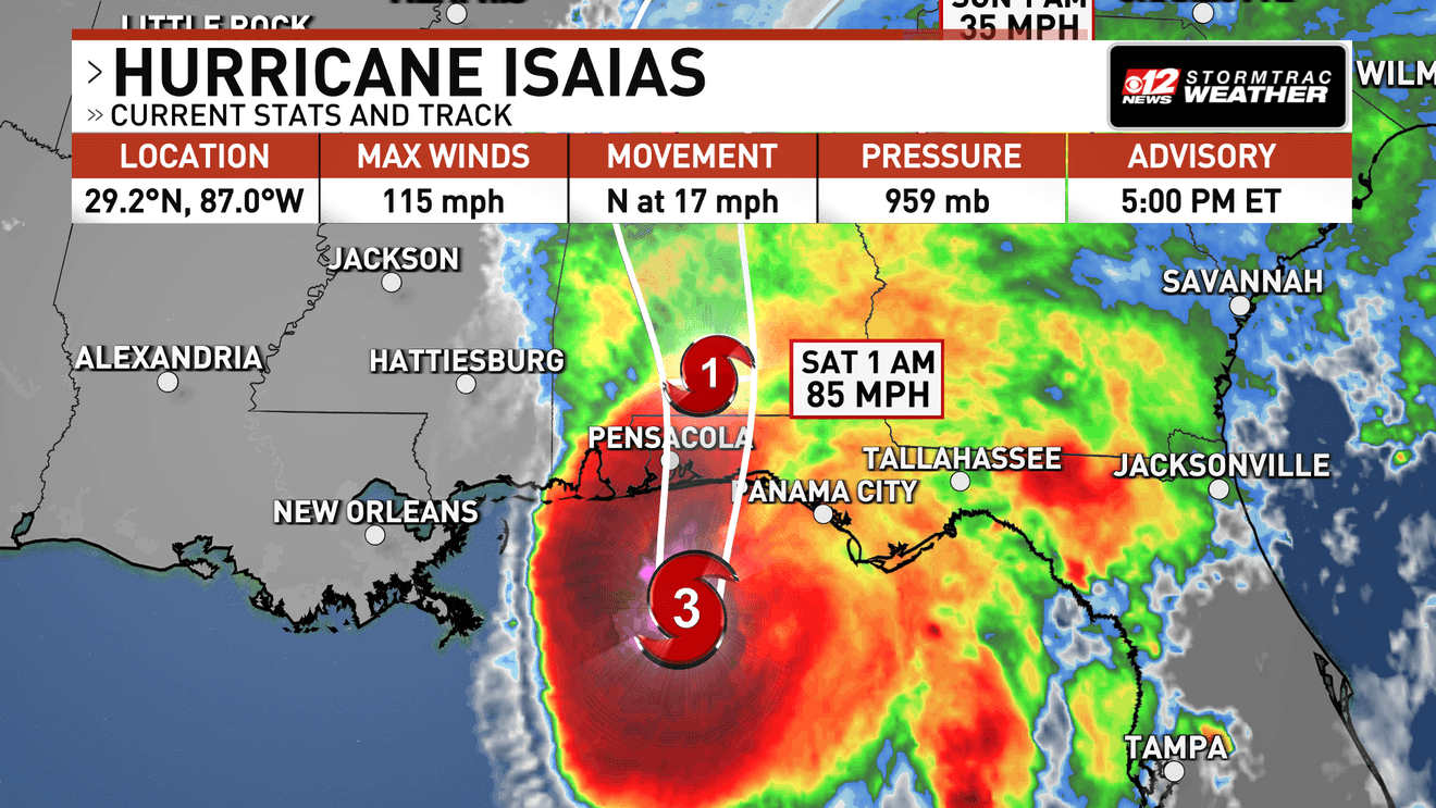
WEST PALM BEACH, Fla. (CBS12) — Hurricane Isaias maintains Category 3 status as it nears landfall near the Florida panhandle, packing maximum sustained winds of 115 mph and higher gusts, according to the National Hurricane Center.
As of 5:00 p.m. EDT Friday, Isaias was about 100 miles south of Pensacola and moving north-northeast at 17 mph. The hurricane’s minimum central pressure was 959 millibars.
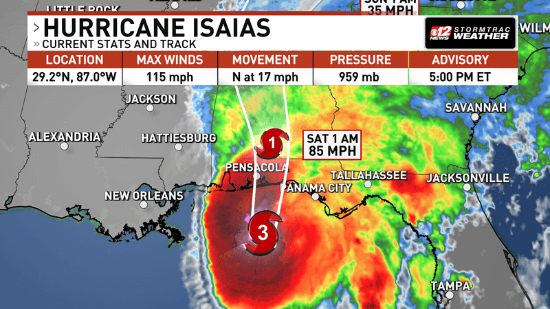
Isaias still remains a major Category 3 hurricane with 115 mile per hour winds as of 5 p.m. on Friday. (WPEC)
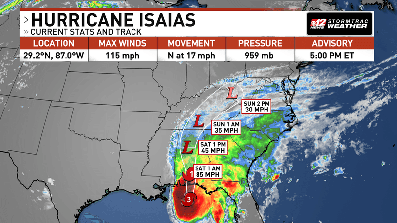
Isaias will weaken as it moves inland. (WPEC)
Isaias could see a slight decrease in winds before landfall, but it will still have impacts not only on the coast where it makes landfall, but also very far inland.
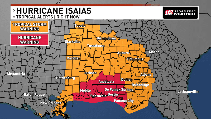
Tropical alerts go far inland even past where Isaias makes landfall. (WPEC)
A Tornado Watch has now been issued for most of the Florida panhandle, and portions of south Alabama and Georgia that side on the “dirty” side of the storm.
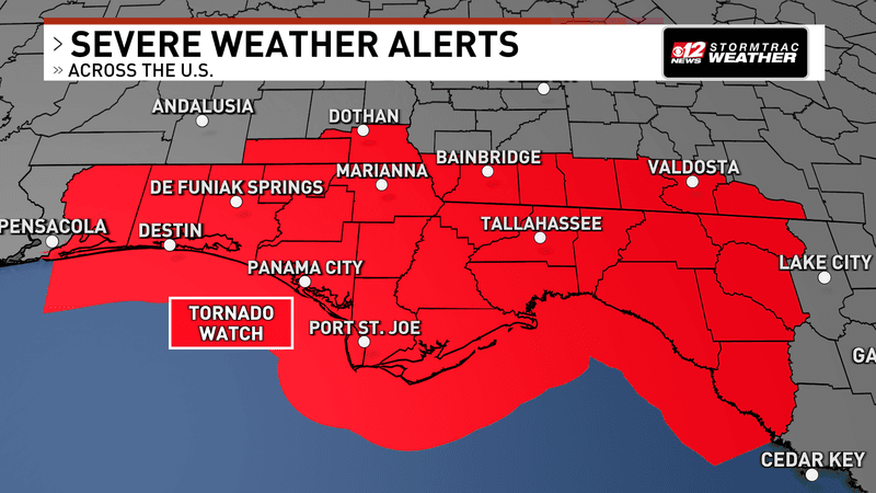
A Tornado Watch has been issued for most of the Florida panhandle, and portions of south Alabama and Georgia. (WPEC)
Hurricane warnings, shown in red, are in effect along a large section of the northern Gulf Coast. Tropical storm warnings, shown in orange, extend farther from the storm’s projected path.