
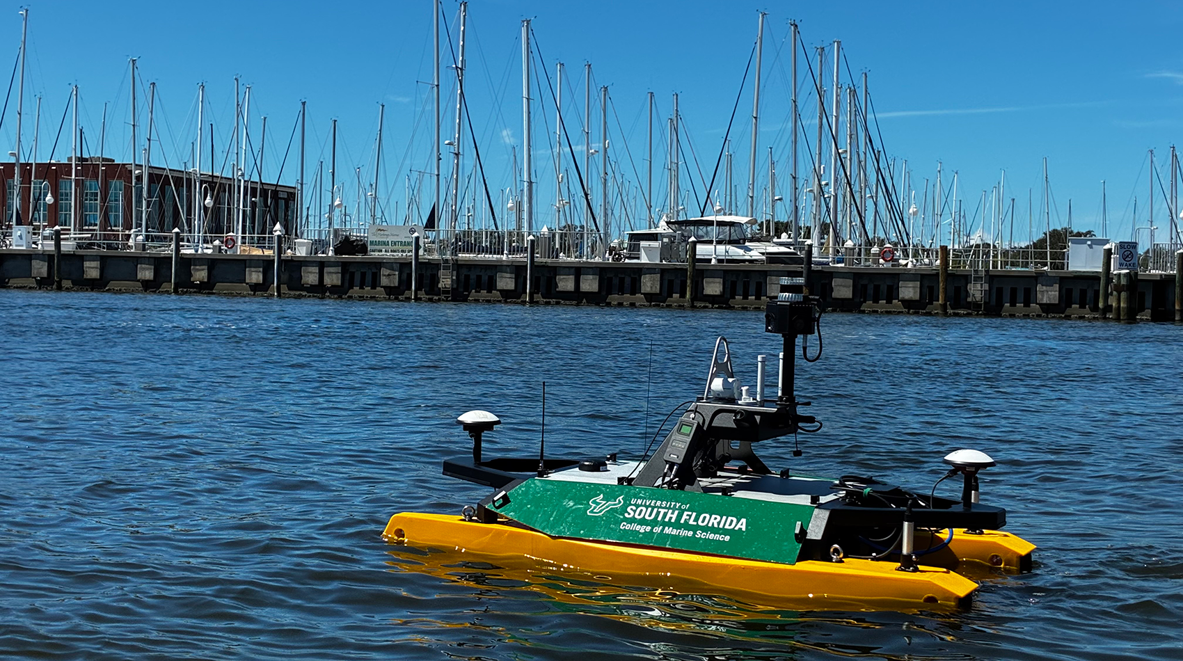
University of South Florida researchers believe that seafloor mapping can be essential for maritime transportation. This idea led to the creation of the Center for Ocean Mapping and Innovative Technologies (COMIT).
A federal agency has supported the mission.
The educational institution’s College of Marine Science has been awarded a five-year, $8.5 million cooperative agreement from the National Oceanic and Atmospheric Administration (NOAA) Office of Coast Survey to help finance COMIT’s efforts. The funding was announced last month.
Founded in 2020 with a $9 million award from NOAA, COMIT focuses on researching innovative approaches to map the seafloor.
“This award will allow us to really kind of extend and double down on the research that we’ve done over the past five years,” said Sherryl Gilbert, COMIT assistant director of marine research and development. “The main priorities for this award are to really incorporate the different techniques and tools that are used to map the coastal areas. The bathymetry in coastal areas is very dynamic and changes quite a bit.”
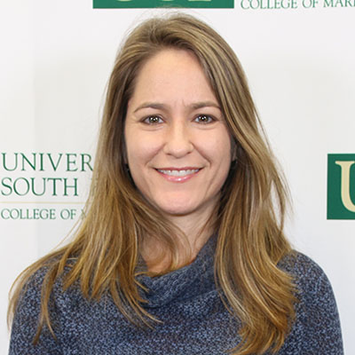
Sherryl Gilbert is COMIT’s assistant director of marine research and development.
According to the U.S. Geological Survey, bathymetry is the science of measuring the depth of water in ocean, river and lake environments.
“We are going to be integrating lots of sensors from satellites to airborne LiDAR to in-water sensors to develop more efficient workflows to get the data to the people who need it most,” she continued. “Safe navigation is a huge point both locally and nationally. It also helps people make decisions about what areas could be critical habitats for different populations of marine life.”
College of Marine Science researchers will work with faculty from the USF College of Engineering and the Bellini College of Artificial Intelligence, Cybersecurity and Computing to learn how to leverage artificial intelligence and applied engineering. Gilbert explained that this partnership will help COMIT “get the most out of the data already collected” and reduce the time it takes for information to be publicly available.
Since launching COMIT, the team has been exploring vulnerable coastal areas in the Tampa Bay and Gulf. Hurricanes Helene and Milton in 2024 demonstrated how quickly seafloors can change.
Gilbert emphasized the economic impact.
“Port Tampa Bay is here and it contributes about $35 billion dollars to Florida’s economy,” she said. “So, safe and efficient navigation is incredibly important.”
COMIT’s crowdsourced bathymetry program, dubbed Crowd the Bay, has been particularly helpful. Through data loggers, boat owners can contribute vital information about Tampa Bay’s seafloors. Gilbert and her team hope to expand the initiative with the new award.
“Boaters are out in all kinds of conditions in all areas,” she explained. “They basically tell us when certain areas of the coastal water are changing. We’ve learned that they can really provide a lot of data and coverage.”
Gilbert said that one of the key short-term goals for the new agreement is to “assess the error involved” with certain data sources. Additionally, the team hopes to learn how to implement AI effectively to “fill the gap in data.” Long-term, researchers want to “fuse” these different components together and create comprehensive seafloor maps that identify areas that are changing rapidly.
The USF team also is dedicated to training the next generation of scientists. Gilbert and other COMIT team members are teaching students about sensor deployment and development, how to perform a survey and how to work on the data, among other topics.