
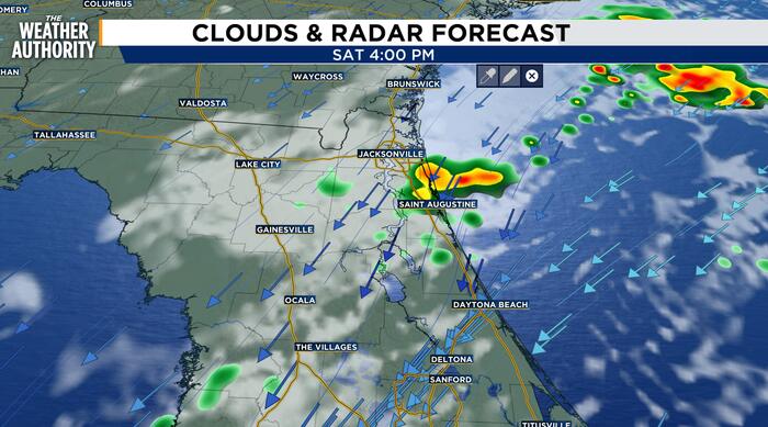
Sunny and cool through Friday. Becoming windy with coastal showers this weekend.
The steady onshore wind continues through the weekend with the increasing risk of coastal hazards and tidal flooding. Skies remain sunny with comfortable temperatures through Friday. The northeasterly wind will increase through Friday and continue this weekend. Cloudy skies with wind driven showers will increase Saturday with partly cloudy and breezy conditions on Sunday.
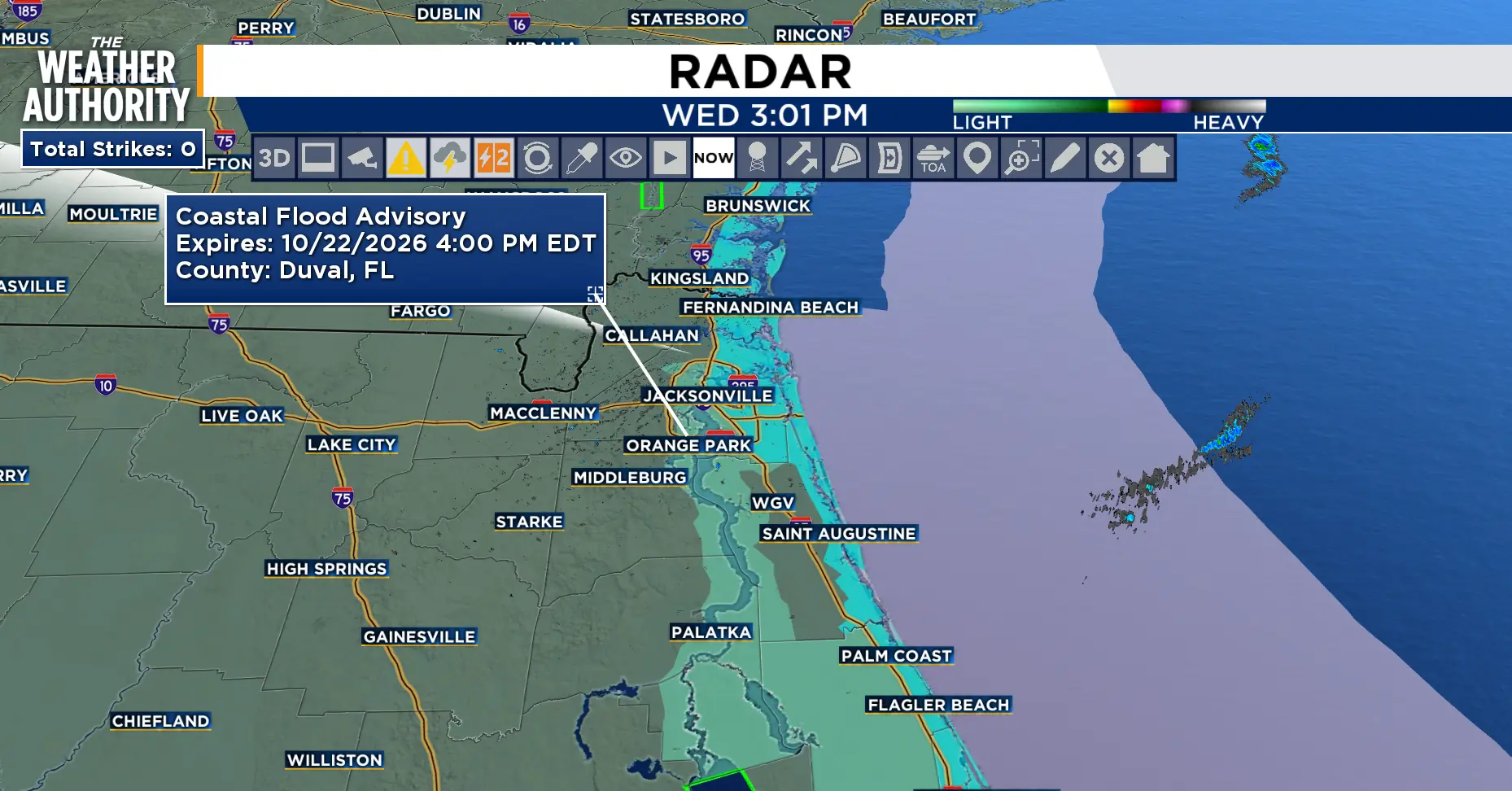
The main impacts will be along our coastal and beach zones. The marine and coastal hazards, include dangerous surf conditions with High Surf Advisories. Minor Tidal Flooding will continue along the St. Johns River Basin with minor Coastal Flooding possible along portions of the northeast FL Coast and south of St. Augustine. Tides will average 1.5 to 1.8 feet above normal.
The strengthening northeasterly winds will develop Friday with Gale conditions are possible for the Atlantic waters.
Tonight: Mostly clear and cool with a light breeze.
Thursday: Sunny and cool. Lows in the 40s for SE GA, 40s and 50s for NE FL, 60s along the beaches. Highs in the 70s to low 80s. Wind: NE 5-15 mph. Mostly clear overnight.
Friday: Increasing wind under sunny skies. The northeast winds will increase through the day. Lows in the 40s and 50s inland and 60s along the beaches. Highs in the 70s. Wind: NE 15-20 mph with stronger gusts.
 . (.)
Weekend: Strong northeasterly winds with partly cloudy to mostly cloudy skies. Wind: NE 15-20 mph with Gusts 30 – 40 mph. Rain chances will average 50-80 percent mainly across coastal NE FL on Saturday, 30-60 percent on Sunday.
Looking ahead: Breezy conditions with a slight chance of showers early next week.
Sunrise: 7:34 a.m.
Sunset: 6:48 p.m.
Copyright 2026 by WJXT News4JAX – All rights reserved.